- DJI Mavic
- DJI Air
- DJI Mini
- DJI Lito
- DJI Flip
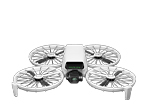
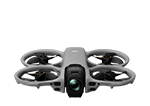
- DJI Neo
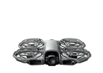
- DJI Avata
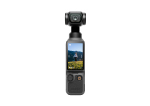
- Handhelds
-
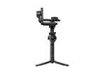
Ronin
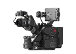
- Cinema
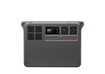
- DJI Power
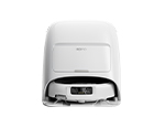
- DJI ROMO
-
Enterprise
Enterprise Sale View AllEnterprise Latest Arrivals View AllEnterprise Packages View AllDJI Matrice 4D Series View AllDJI Matrice 400 View AllDJI Dock 3 View AllDJI Dock 2 View AllMatrice 350 RTK View AllMavic 2 Enterprise Series View AllMatrice 30 Series View AllMatrice 300 Series View AllPhantom 4 Enterprise Series View AllDJI Care Enterprise View All
- AGRAS
- Hasselblad
-
Accessories
Accessories View AllGeneral Accessories View AllDJI Mini 5 Pro Accessories View AllDJI Neo Accessories View AllOsmo Pocket 3 Accessories View AllOsmo Mobile 7P Accessories View AllOsmo Mobile 7 Accessories View AllDJI RS 4 Mini Accessories View AllDJI Mini 4 Pro Accessories View AllDJI Air 3S Accessories View AllDJI RS 4 Accessories View AllOsmo Action 5 Pro Accessories View AllDJI Mavic 4 Pro Accessories View AllDJI RS 4 Pro Accessories View AllOsmo Action 4 Accessories View AllDJI Mic 3 Accessories View AllDJI RS 4 Mini Accessories View AllDJI Mic Mini Accessories View AllOsmo Nano Accessories View AllOsmo 360 Accessories View AllD1 Labs View AllUGREEN View AllD1 Labs Landing Pads View AllDJI RC-N Series Accessories View AllDJI RC Accessories View AllDJI RC Pro Accessories View AllDrone Safety Accessories View AllFreewell View AllFreewell Sherpa Series View AllDJI Remote Controllers View AllDJI RC 2 Accessories View All
- DJI Care
-
EOFY Sale
EOFY Sale View AllPackages View All$1 Bonus Bundles View AllEx-Demo Sale View AllOsmo Pocket 3 View AllDJI Power View AllDJI Air 3S View AllDJI ROMO View AllOsmo Mobile View AllSale Accessories View AllEx-Demo DJI Handhelds View AllEx-Demo DJI Accessory View AllEx-Demo DJI Enterprise View AllEx-Demo DJI Enterprise Accessories View AllEx-Demo Payloads View All
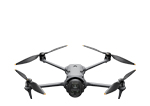
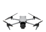
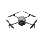
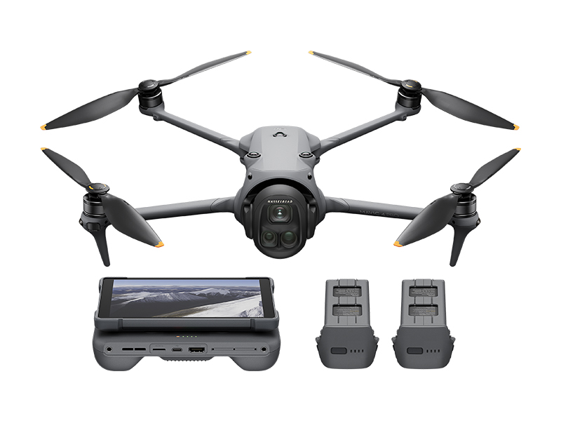 DJI Mavic 4 Pro Creator Combo (512GB)
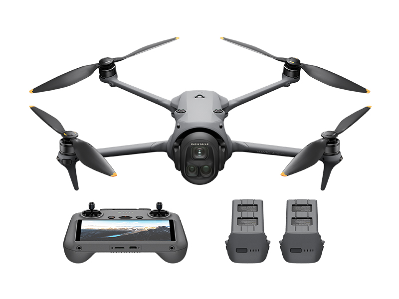 DJI Mavic 4 Pro Fly More Combo
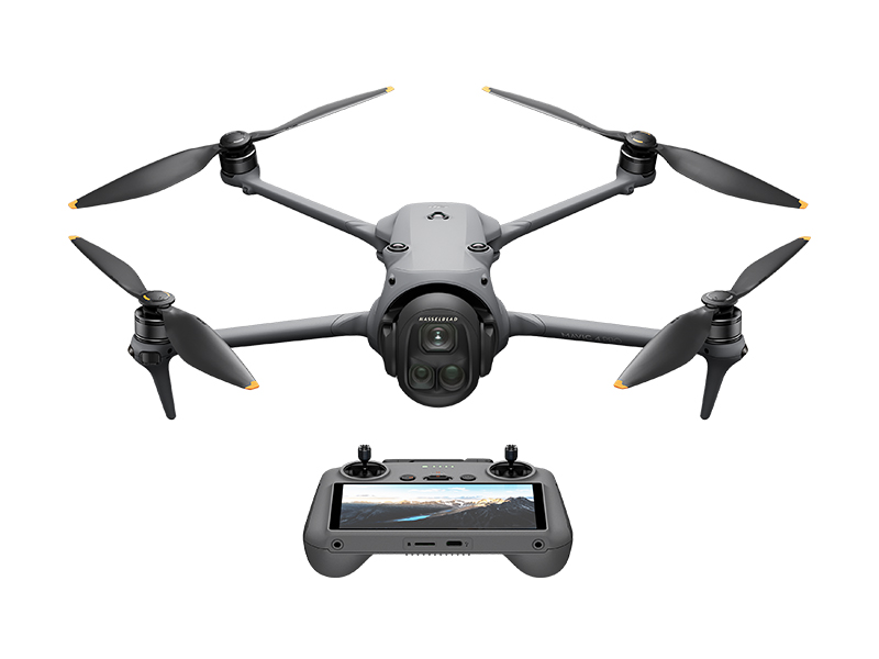 DJI Mavic 4 Pro
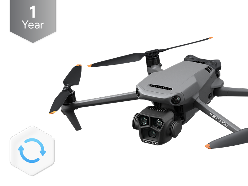 DJI Care Refresh 1-Year Plan (DJI Mavic 3 Pro)
 DJI Care Refresh 2-Year Plan (DJI Mavic 3 Pro)
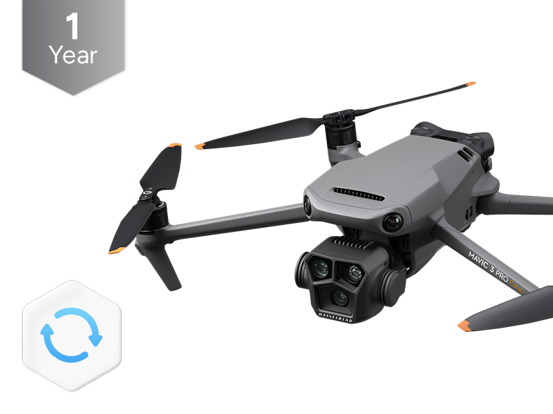 DJI Care Refresh 1-Year Plan (DJI Mavic 3 Pro Cine)
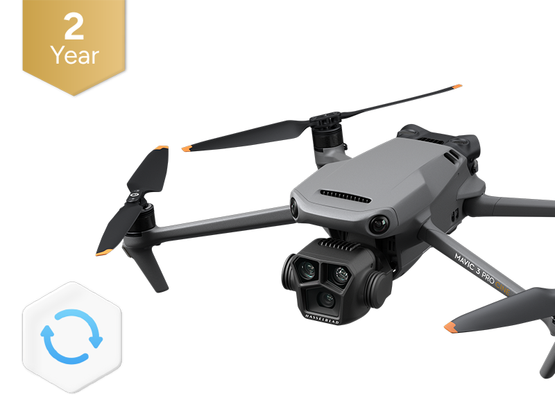 DJI Care Refresh 2-Year Plan (DJI Mavic 3 Pro Cine)
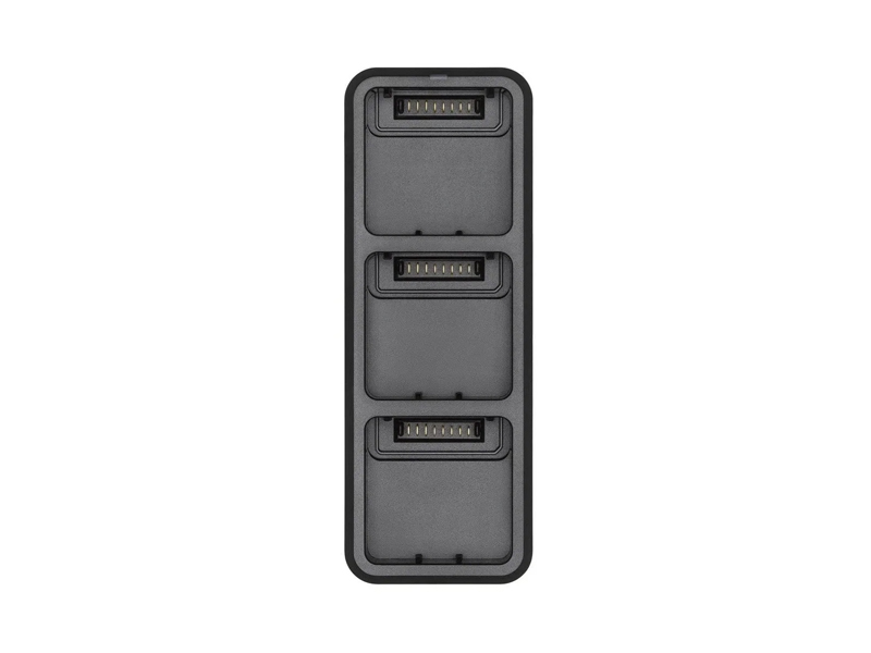 DJI Mavic 3 Series 100W Battery Charging Hub
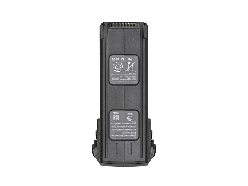 DJI Mavic 3 Series Intelligent Flight Battery
 DJI Mavic 3 Classic Storage Cover
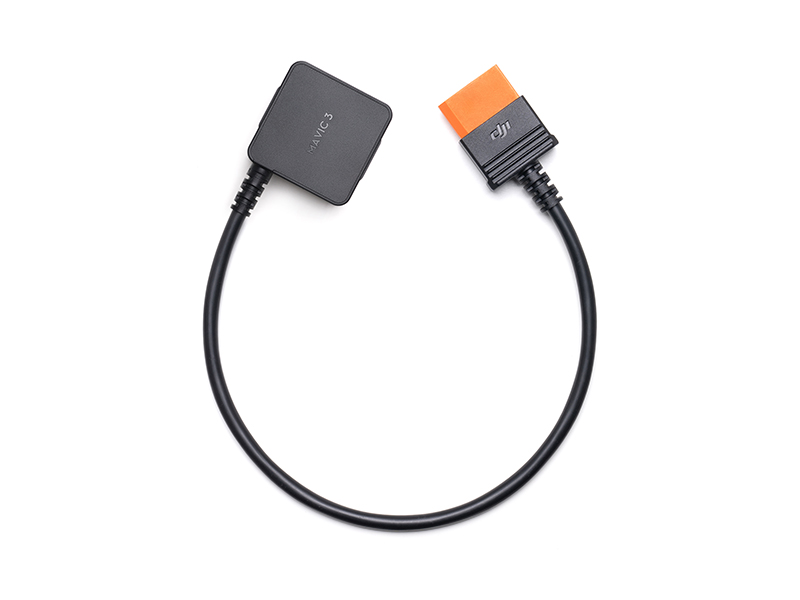 DJI Power SDC to DJI Mavic 3 Series Fast Charge Cable
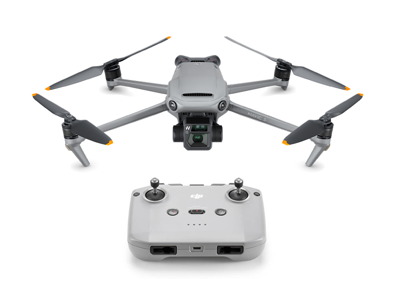 DJI Mavic 3
 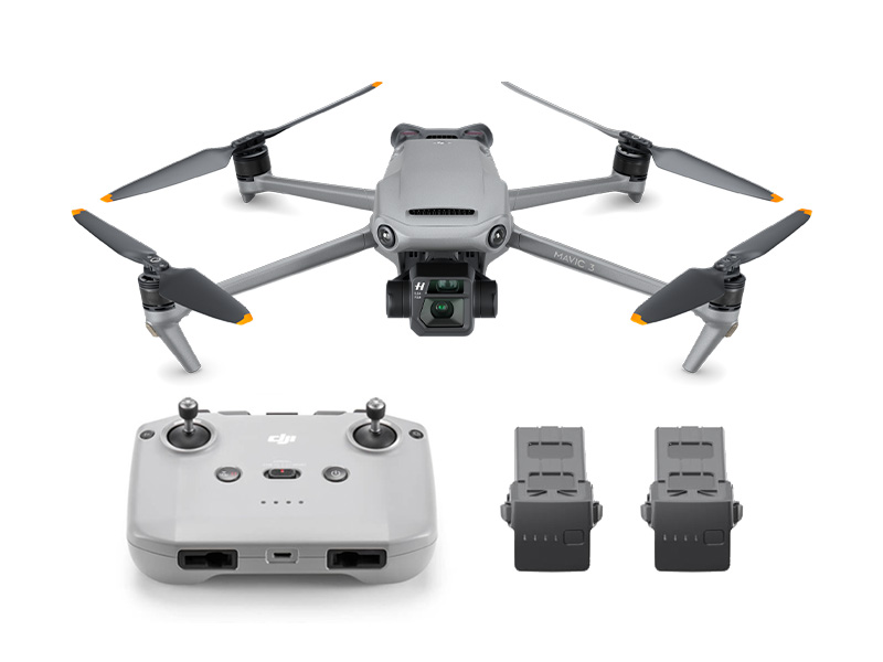 DJI Mavic 3 Fly More Combo
 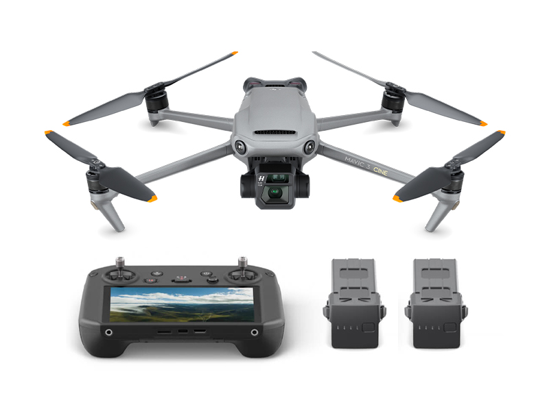 DJI Mavic 3 Cine Premium Combo (Open Box)
 Mavic 2 Pro (Drone Only, No Battery)
.jpg) Mavic 2 Zoom (Drone Only)
Mavic 2 Zoom (Drone Only)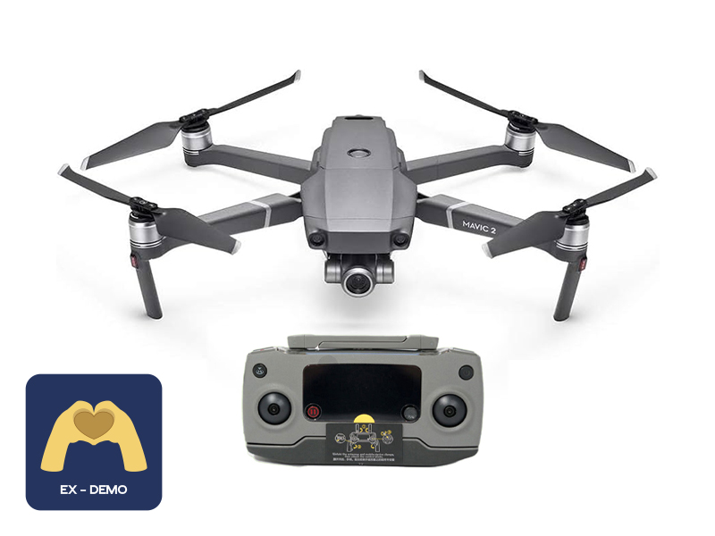 Ex-Demo Mavic 2 Zoom
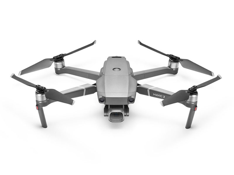 Mavic 2 Pro
 CrystalSky Mavic/Spark Remote Controller Mounting Bracket
 D1 Aircraft Sleeve
 PolarPro CrystalSky Mount for Mavic Series
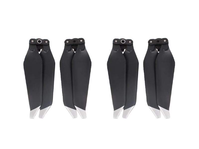 SunnyLife Low-Noise Propellers for Mavic Pro (2 Pairs)
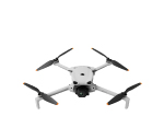
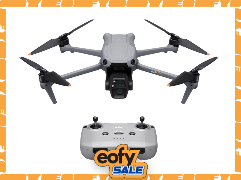 DJI Air 3S
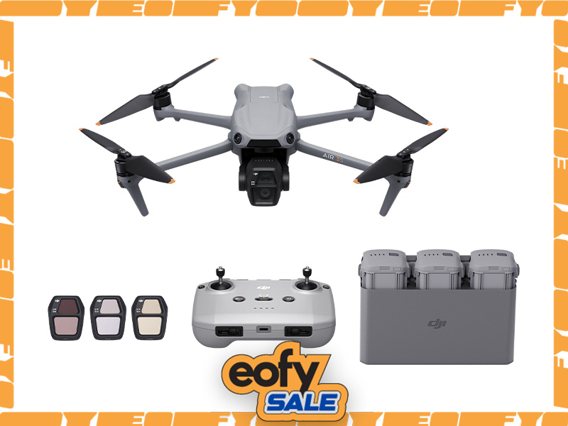 DJI Air 3S Fly More Combo w. DJI RC-N3
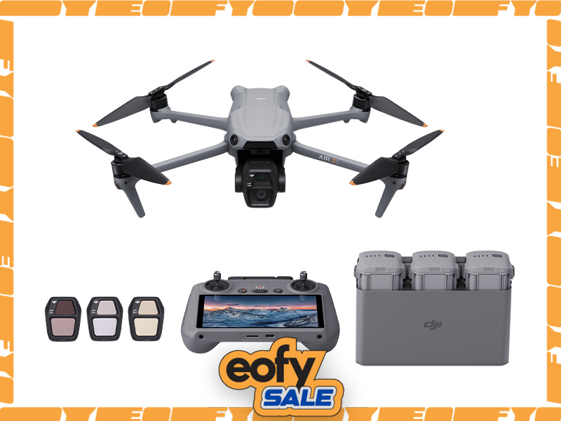 DJI Air 3S Fly More Combo w. DJI RC 2
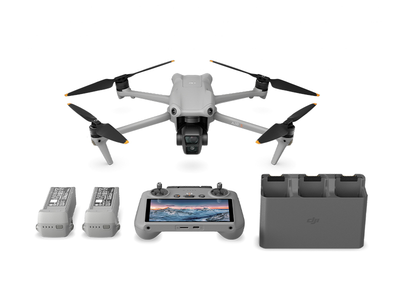 DJI Air 3 Fly More Combo w. DJI RC 2
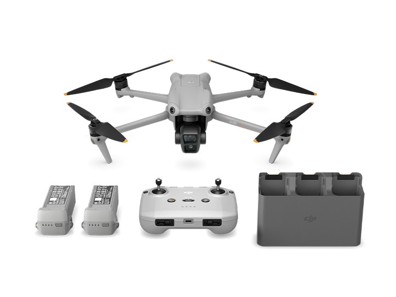 DJI Air 3 Fly More Combo
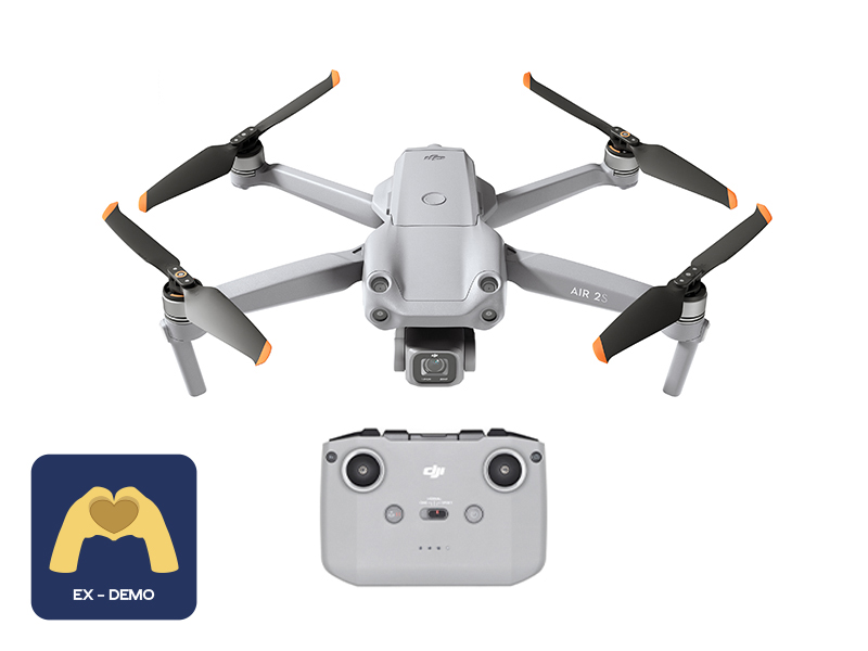 Ex-Demo DJI Air 2S
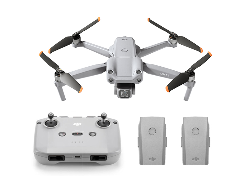 DJI Air 2S Fly More Combo
 GPC Safety Case V2 for Mavic Air 2
 DJI Smart Controller
  Mavic Air 2 Battery to Power Bank Adaptor
 DJI RC-N Series Remote Controller Monitor Hood
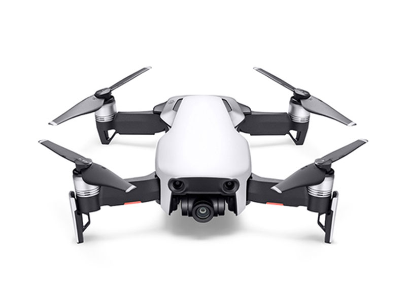 Mavic Air
 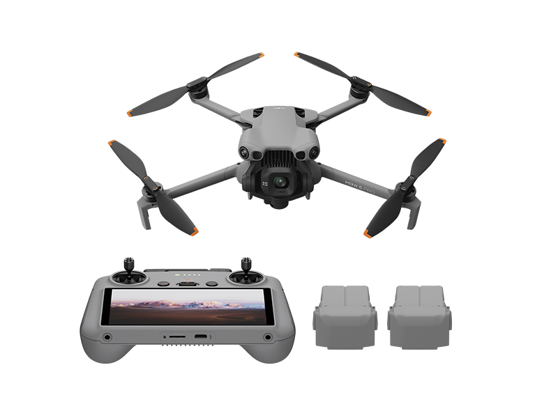 DJI Mini 5 Pro Fly More Combo
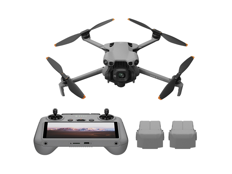 DJI Mini 5 Pro Fly More Combo Plus
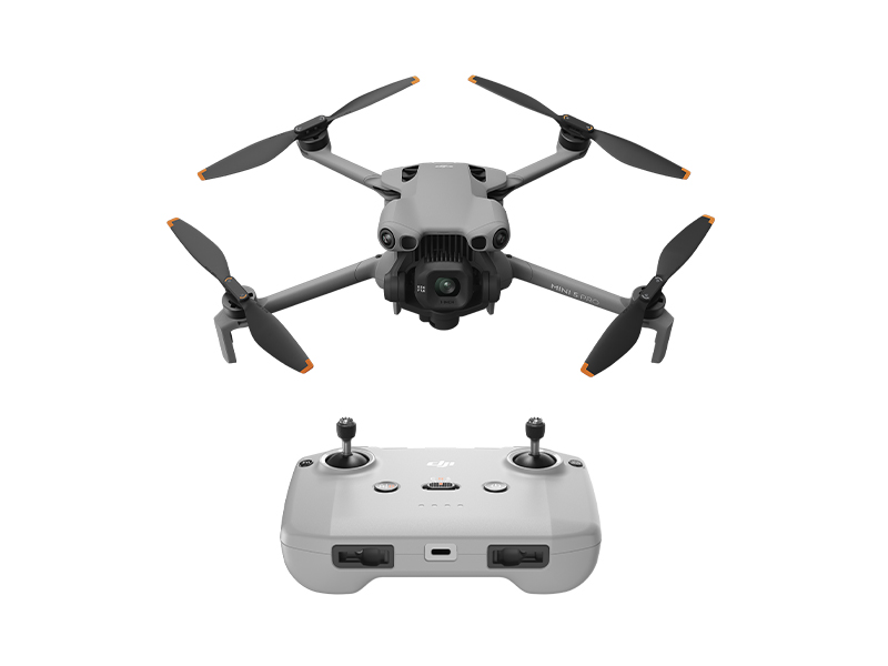 DJI Mini 5 Pro
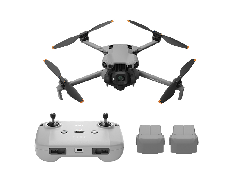 DJI Mini 5 Pro Fly More Combo w. DJI RC-N3
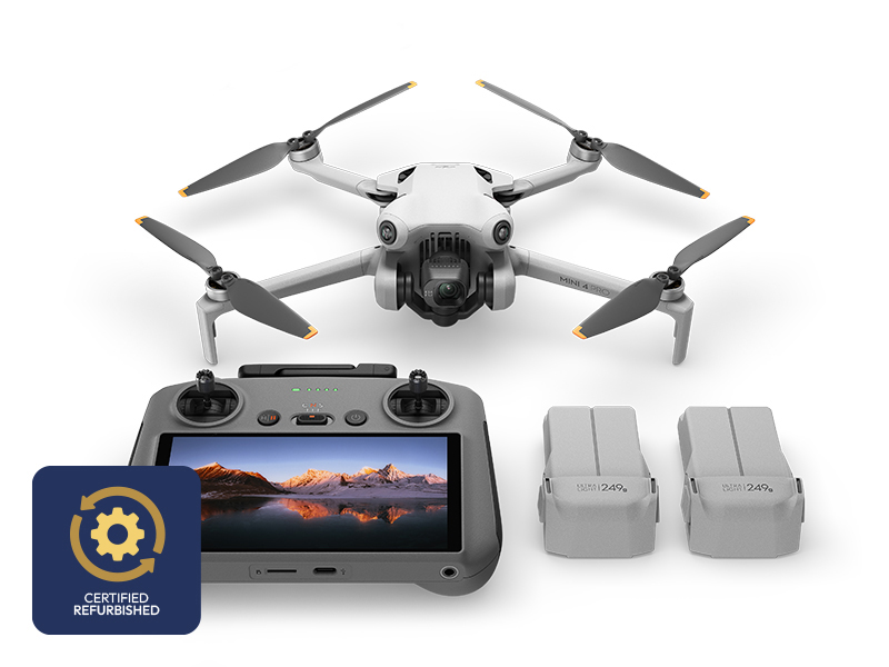 DJI Mini 4 Pro Fly More Combo (Refurbished)
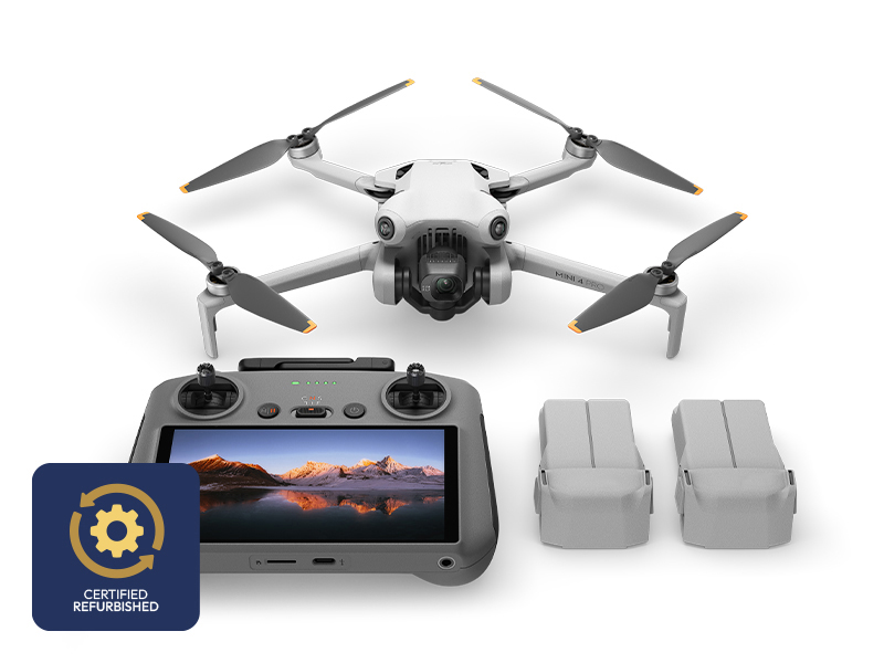 DJI Mini 4 Pro Fly More Combo Plus (Refurbished)
 DJI Care Refresh 1-Year Plan (DJI Mini 3)
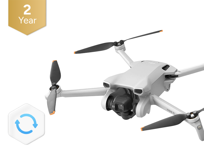 DJI Care Refresh 2-Year Plan (DJI Mini 3)
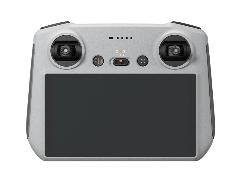 DJI RC
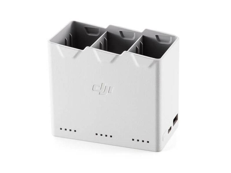 DJI Mini 4 Pro/Mini 3 Series Two-Way Charging Hub
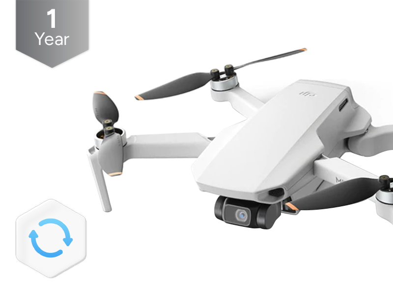 DJI Care Refresh 1-Year Plan (DJI Mini 2 SE & DJI Mini 4K)
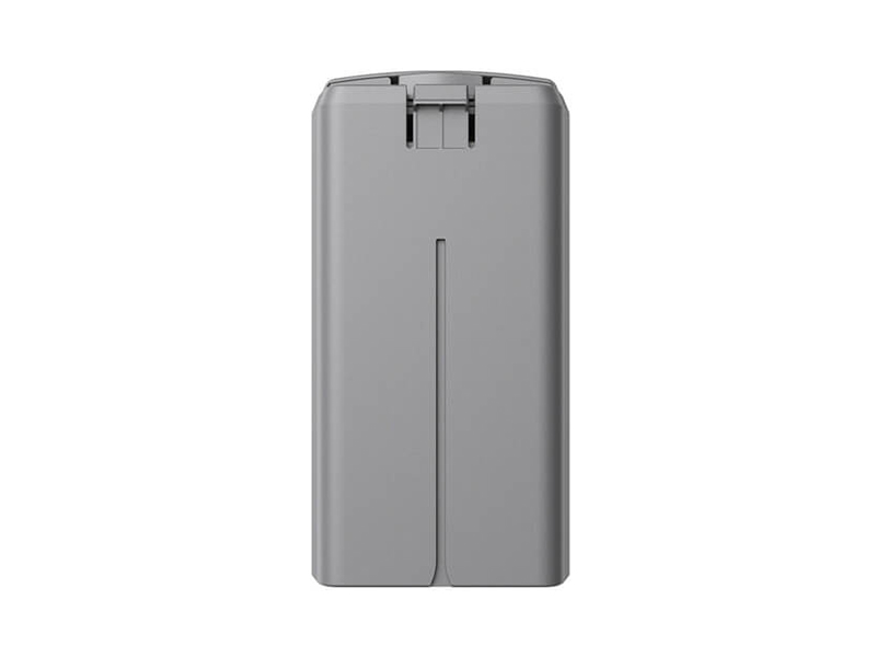 DJI Mini 2 / SE Intelligent Flight Battery
 DJI Care Refresh 2-Year Plan (DJI Mini 2 SE & DJI Mini 4K)
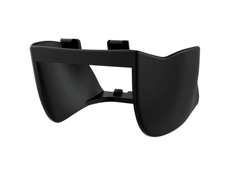 PGYTECH Lens Hood for DJI Mini Series
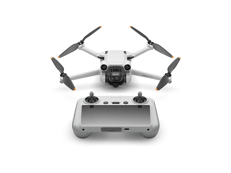 DJI Mini 3 Pro w. DJI RC
 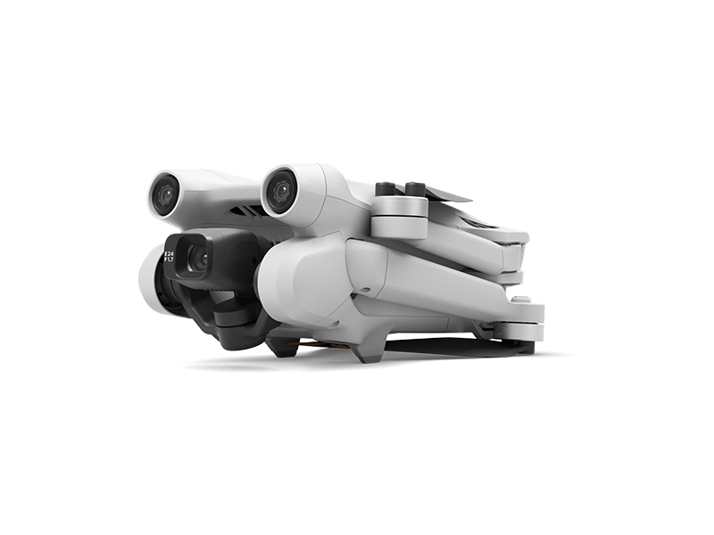 DJI Mini 3 Pro (Drone Only, No Battery)
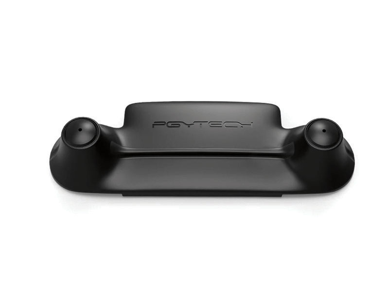 PGYTECH Control Stick Protector for Mavic Mini
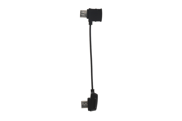 Mavic - RC Cable (Reverse Micro USB connector)
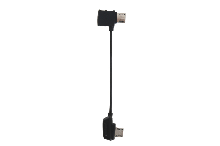 Mavic - RC Cable (Standard Micro USB connector)
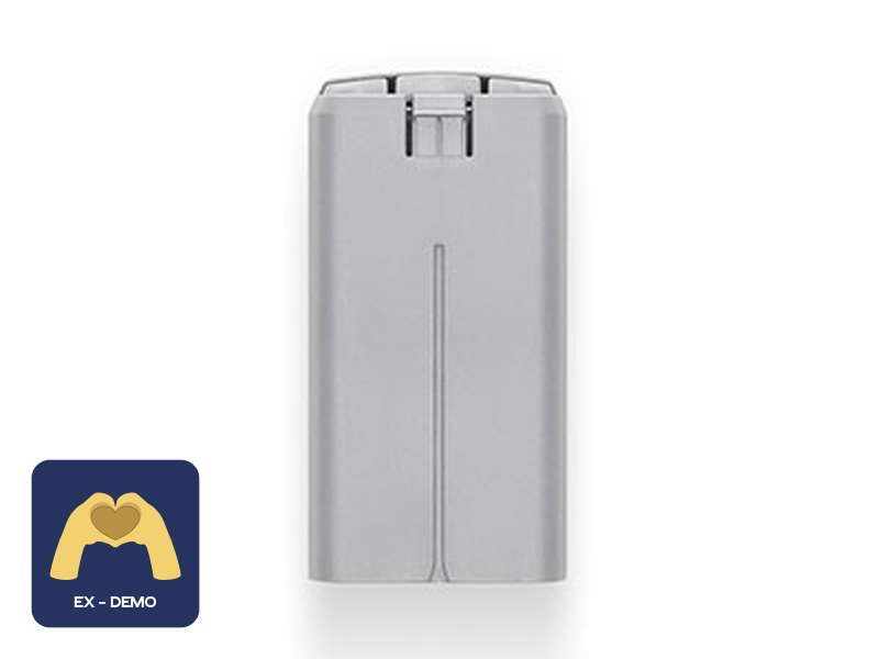 Ex-Demo DJI Mini 2 / SE Intelligent Flight Battery
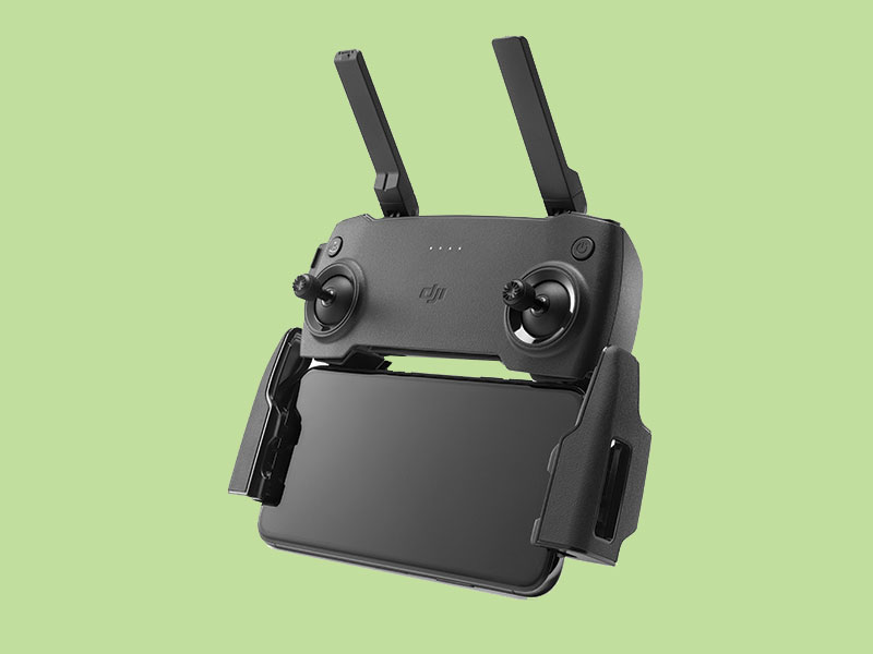 Mavic Mini Remote Controller (open box)
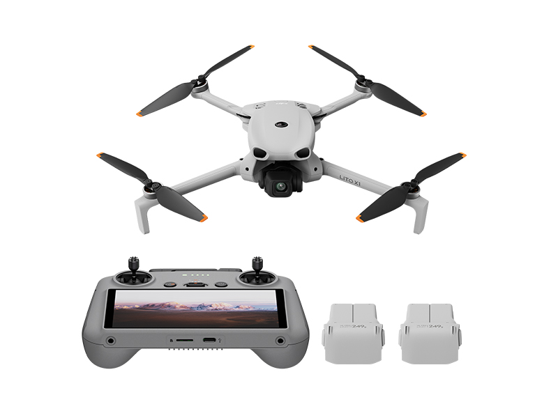 DJI Lito X1 Fly More Combo
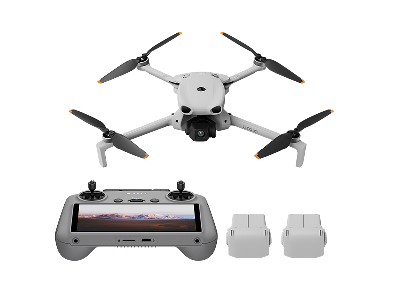 DJI Lito X1 Fly More Combo Plus
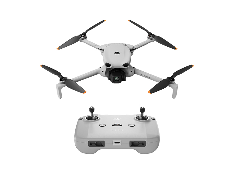 DJI Lito X1
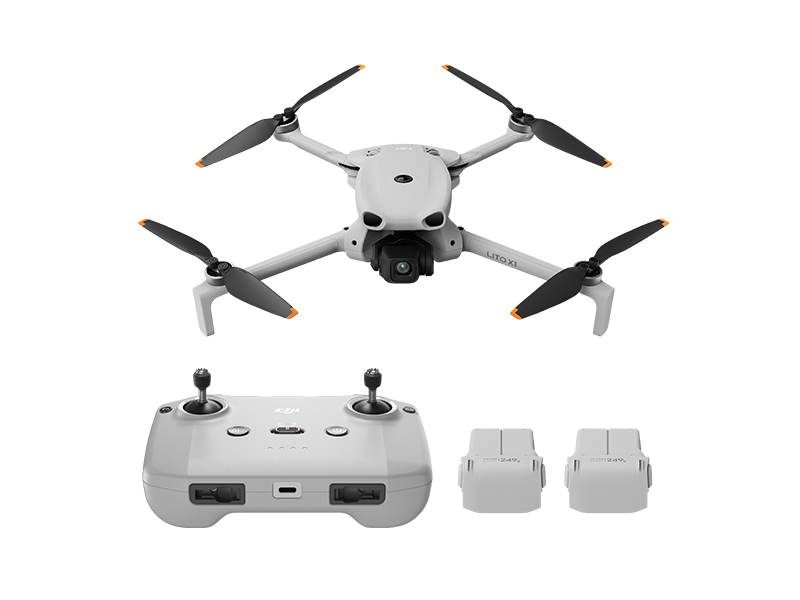 DJI Lito X1 Fly More Combo (DJI RC-N3)
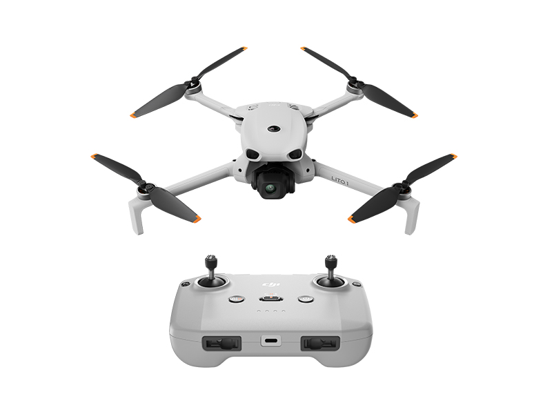 DJI Lito 1
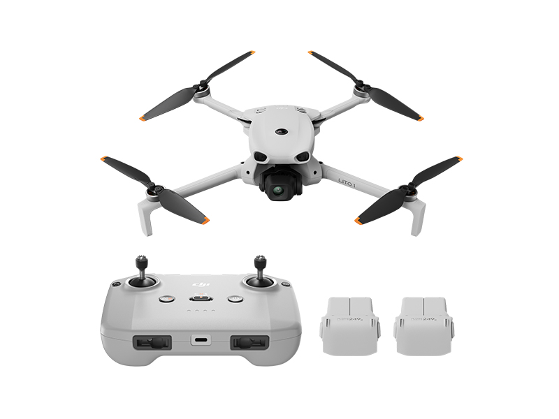 DJI Lito 1 Fly More Combo
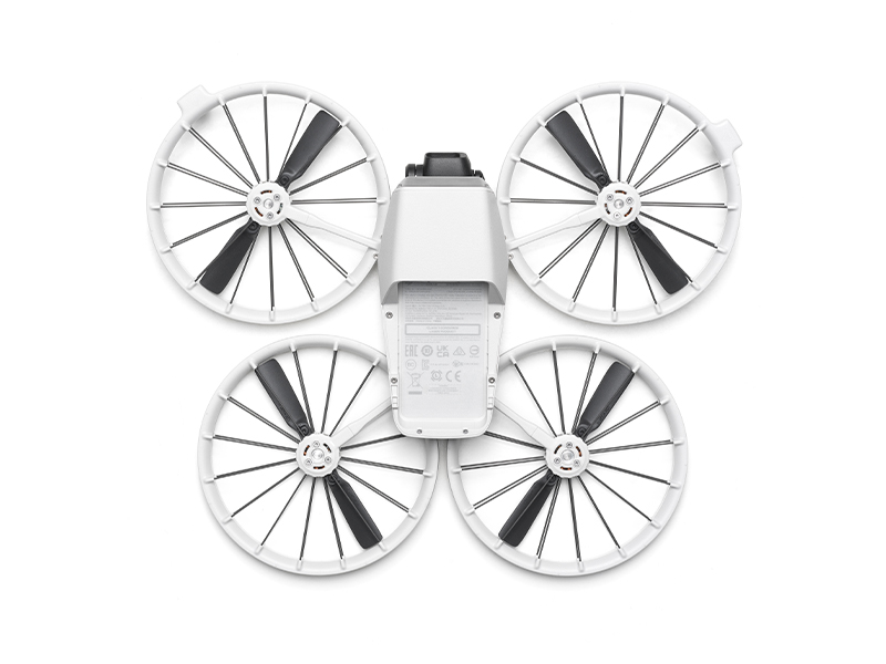 DJI Flip (Drone Only, No Battery)
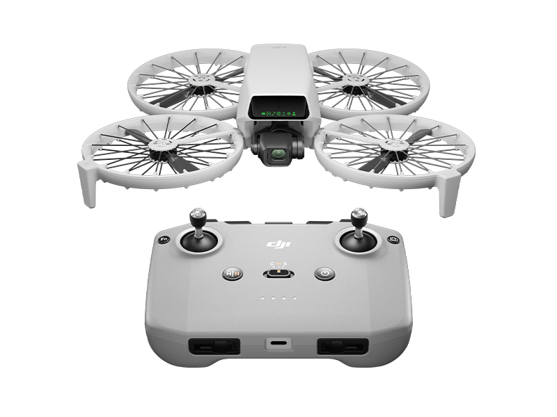 DJI Flip
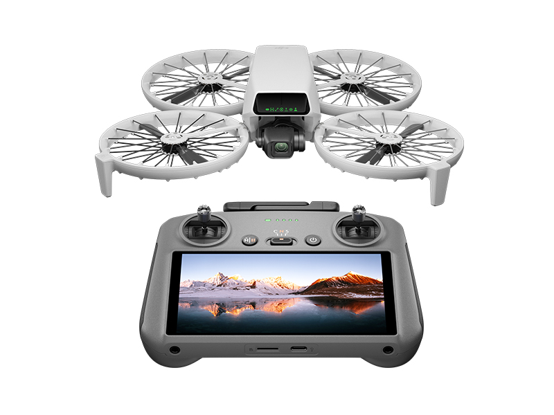 DJI Flip w. DJI RC 2
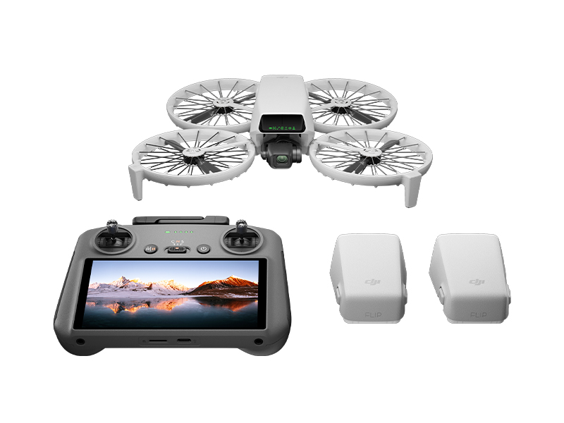 DJI Flip Fly More Combo
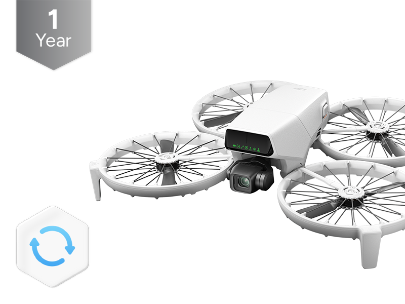 DJI Care Refresh 1-Year Plan (DJI Flip)
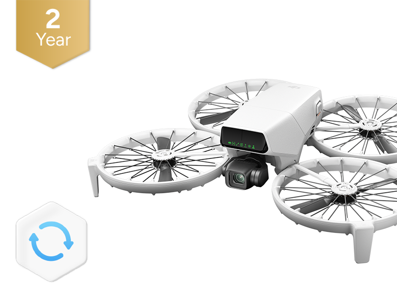 DJI Care Refresh 2-Year Plan (DJI Flip)
 DJI RC 2
 DJI RC-N3 Remote Controller
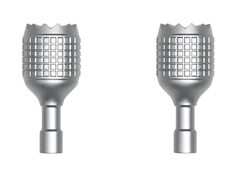 DJI RC/RC 2 Control Sticks
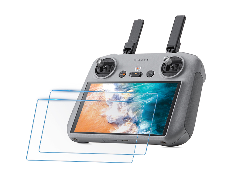 D1 Labs Screen Protector for DJI RC Series
 D1 Lens Cloth
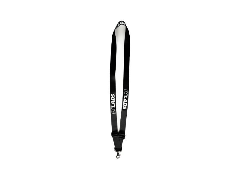 D1 Labs Heavy Duty Lanyard
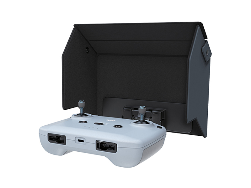 D1 Labs Monitor Hood for DJI RC-N Series
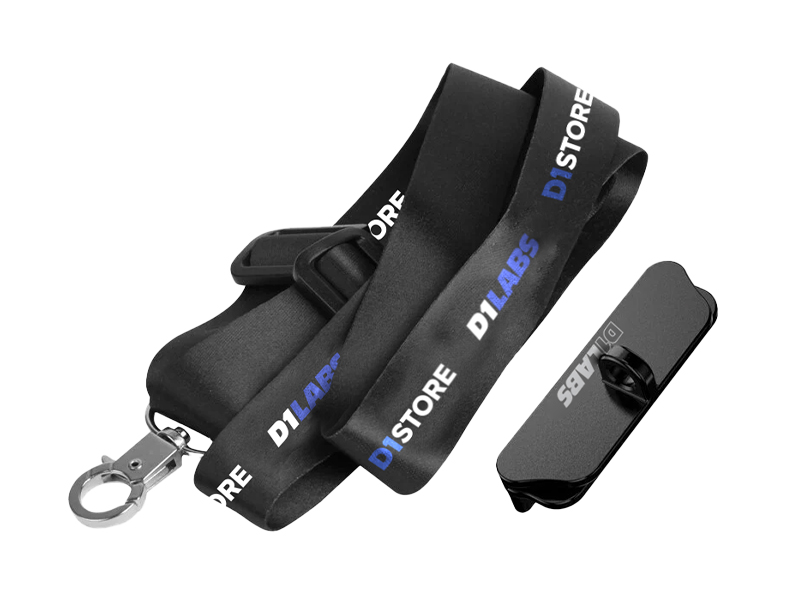 D1 Labs Lanyard Kit for DJI RC-N Series
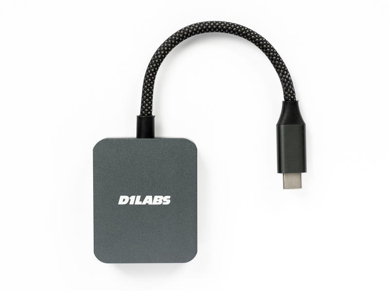 D1 Labs High-Speed SD Card Reader
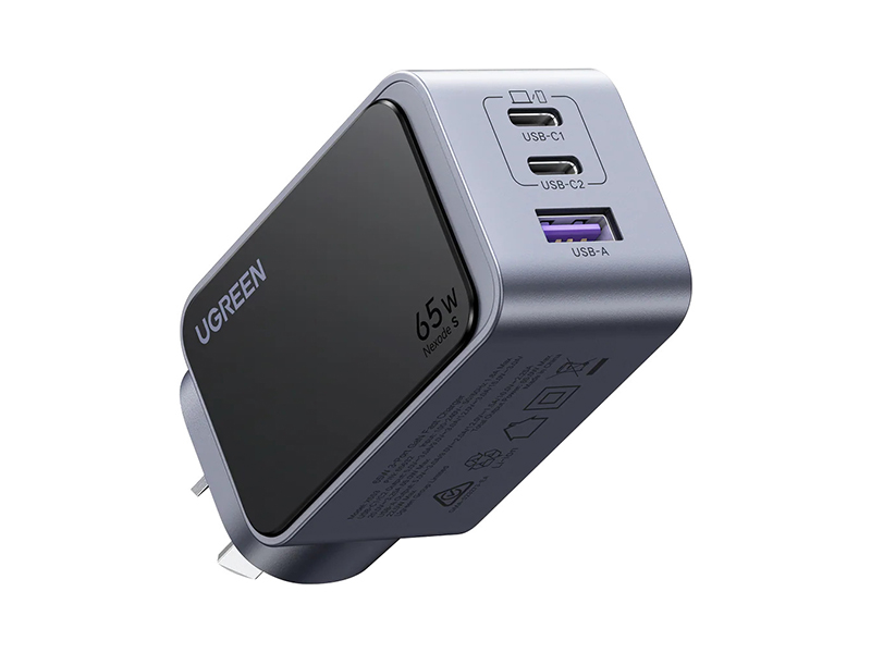 UGREEN 65W Nexode S GaN Charger
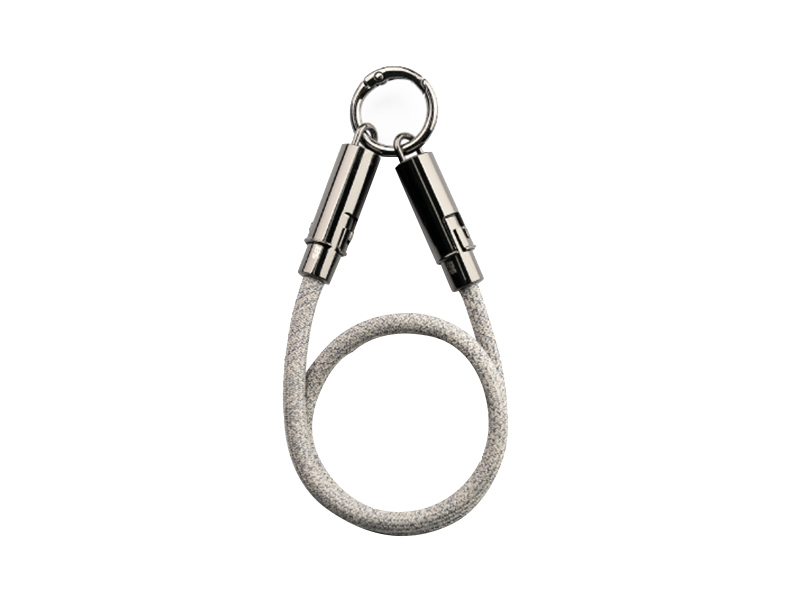 D1 Labs USB-C Wrist Strap Cable
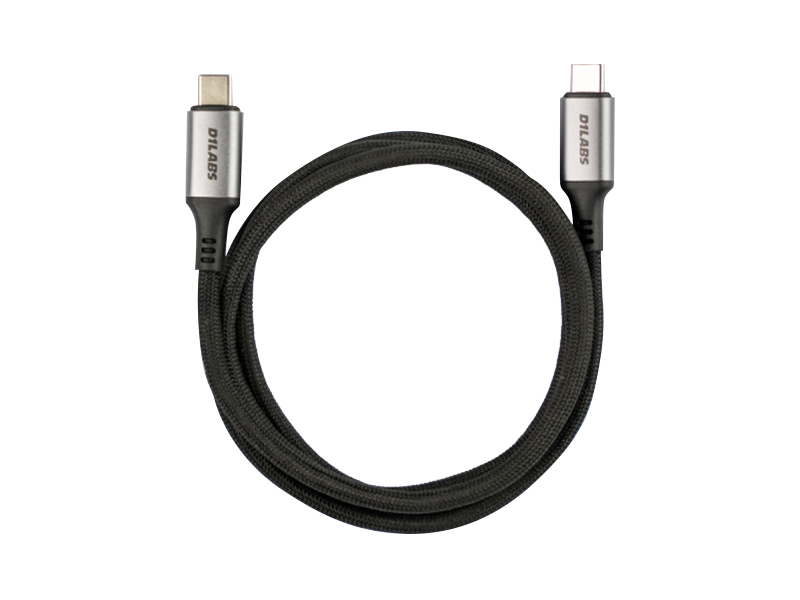 D1 Labs 100W Braided USB-C Cable
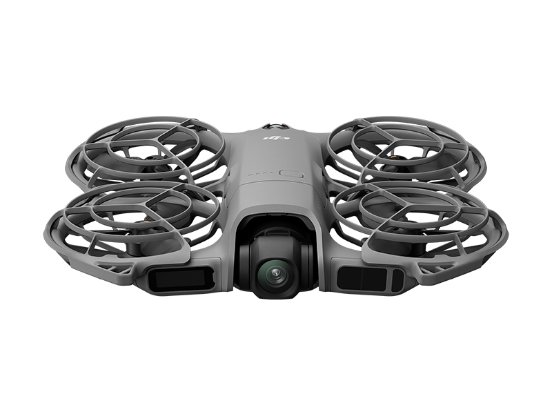 DJI Neo 2 (Drone Only)
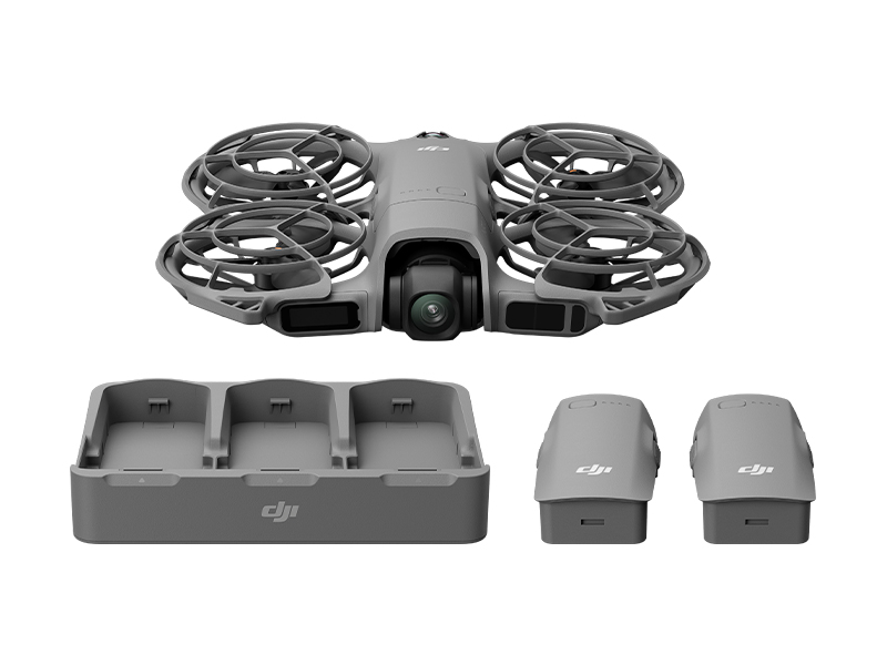 DJI Neo 2 Fly More Combo (Drone Only)
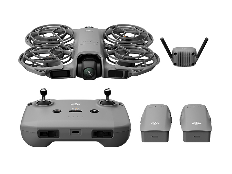 DJI Neo 2 Fly More Combo
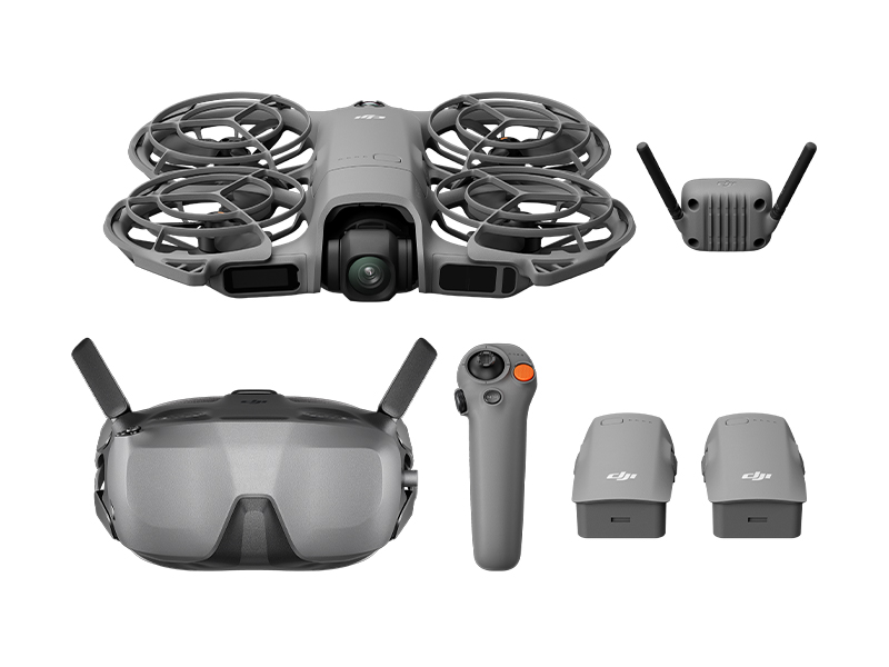 DJI Neo 2 Motion Fly More Combo
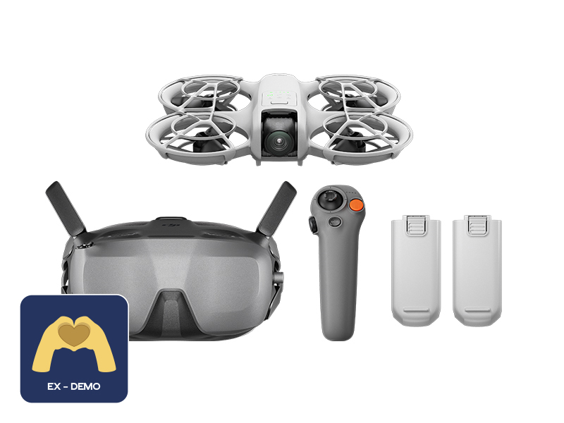 Ex-Demo DJI Neo Motion Fly More Combo
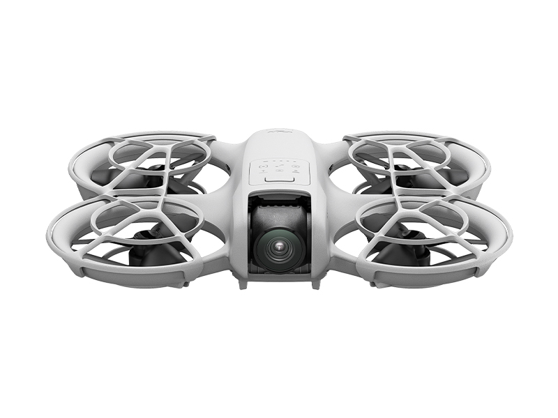 DJI Neo
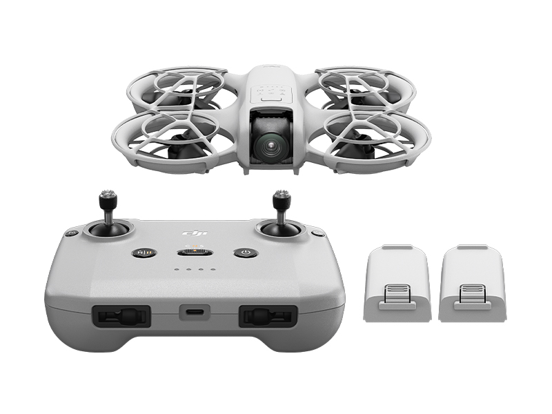 DJI Neo Fly More Combo
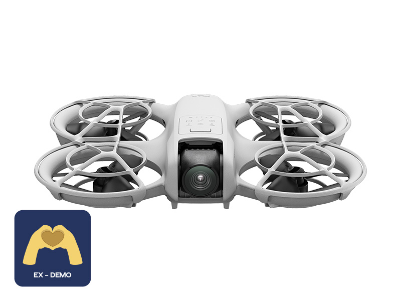 Ex-Demo DJI Neo
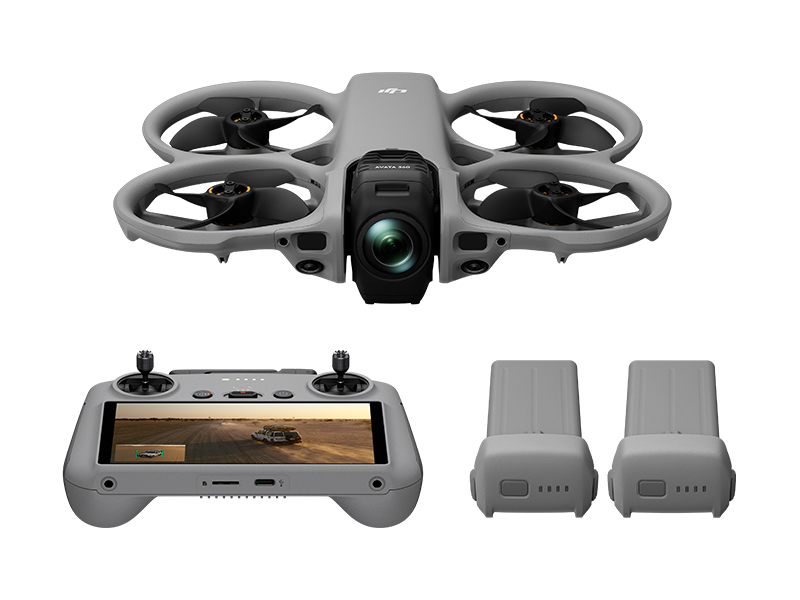 DJI Avata 360 Fly More Combo
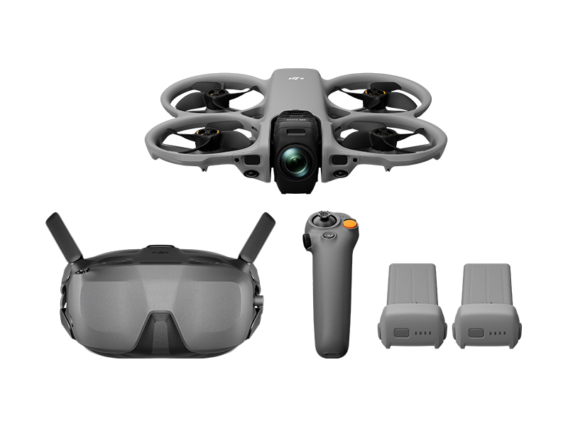 DJI Avata 360 Motion Fly More Combo
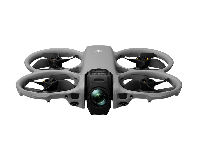 DJI Avata 360 (Drone Only)
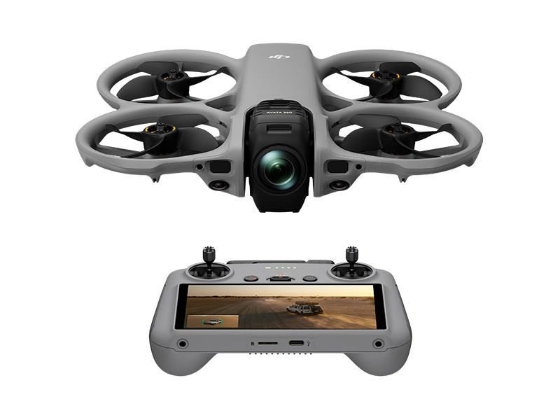 DJI Avata 360 w. DJI RC 2
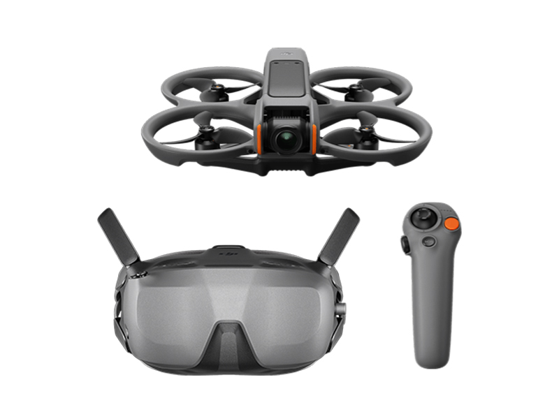 DJI Avata 2 Fly Smart Combo
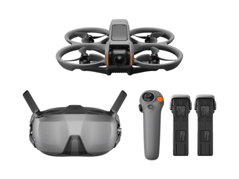 DJI Avata 2 Fly Smart Combo (Three Batteries)
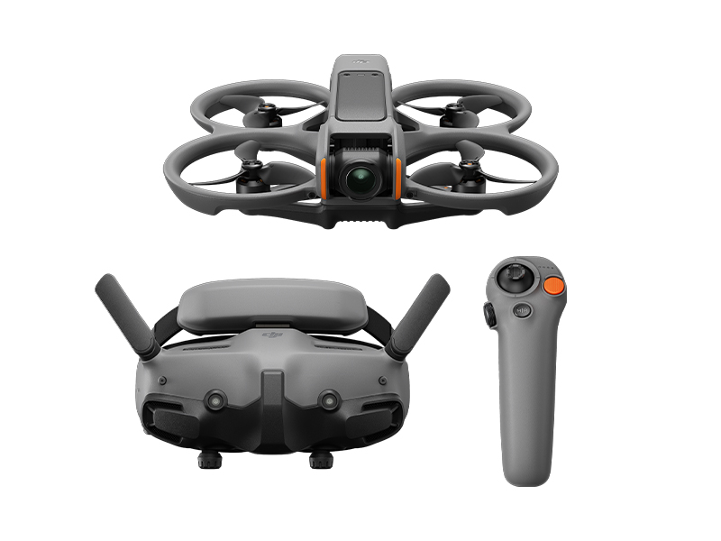 DJI Avata 2 Fly More Combo
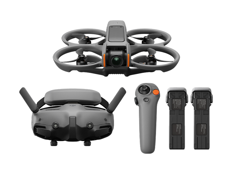 DJI Avata 2 Fly More Combo (Three Batteries)
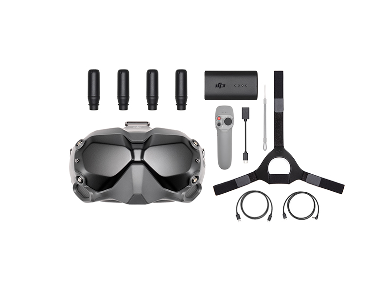 DJI FPV Goggles V2 Motion Combo
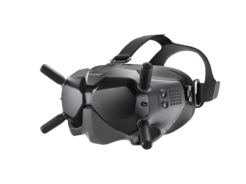 DJI FPV Goggles V2
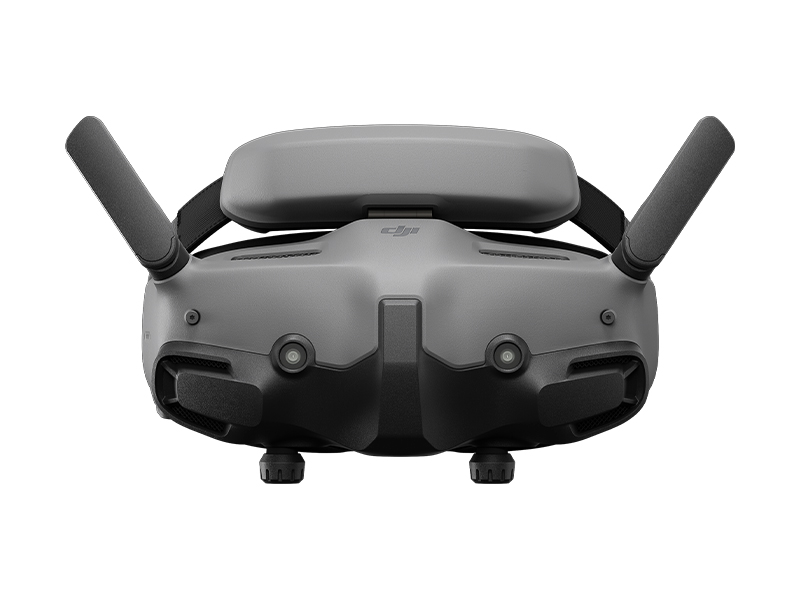 DJI Goggles 3
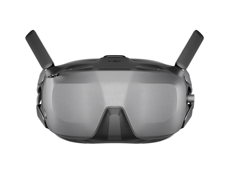 DJI Goggles N3
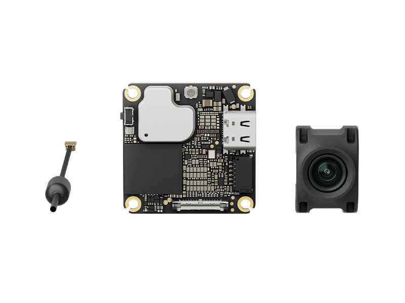 DJI O4 Air Unit
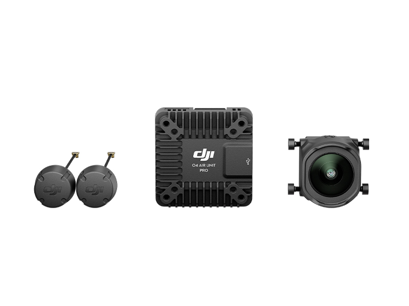 DJI O4 Air Unit Pro
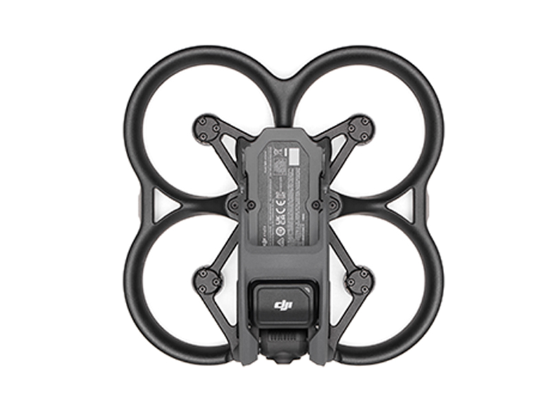 DJI Avata (Drone Only, No Battery)
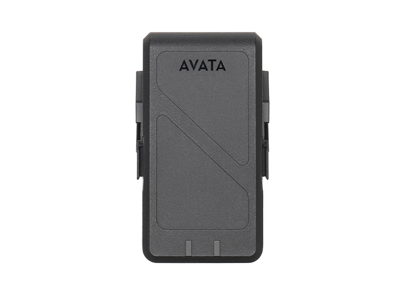 DJI Avata Intelligent Flight Battery
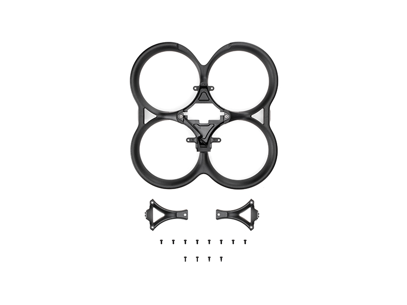 DJI Avata Propeller Guard
 SunnyLife Propeller Guard Protector for DJI Avata
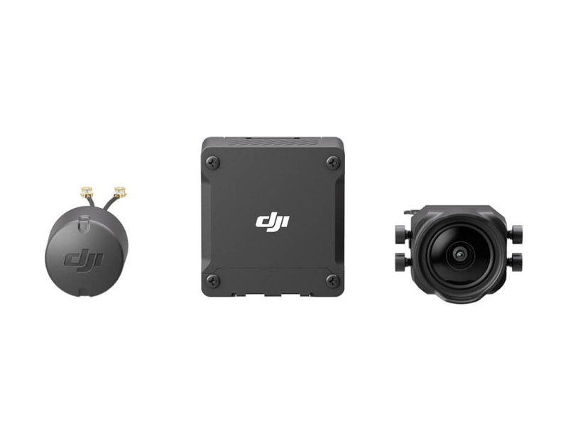 DJI O3 Air Unit
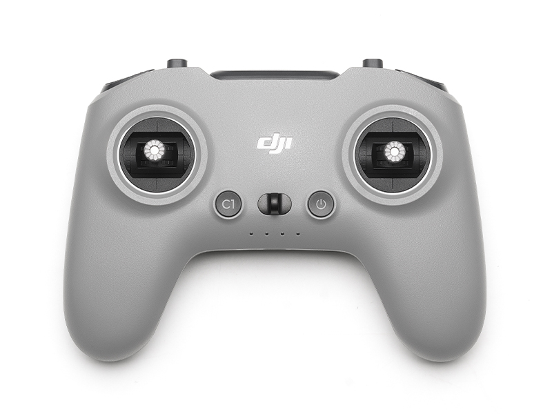 DJI FPV Remote Controller 3
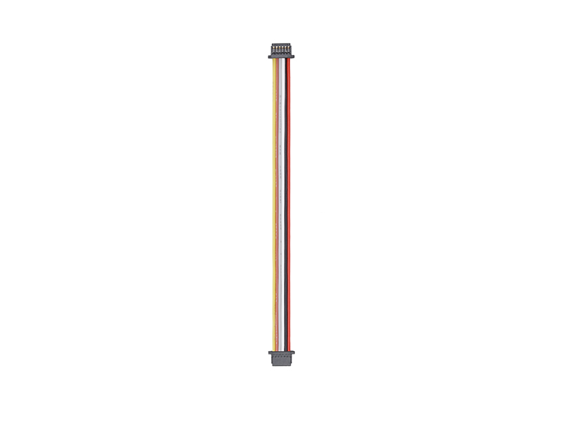 DJI O3 Air Unit 3-in-1 Cable
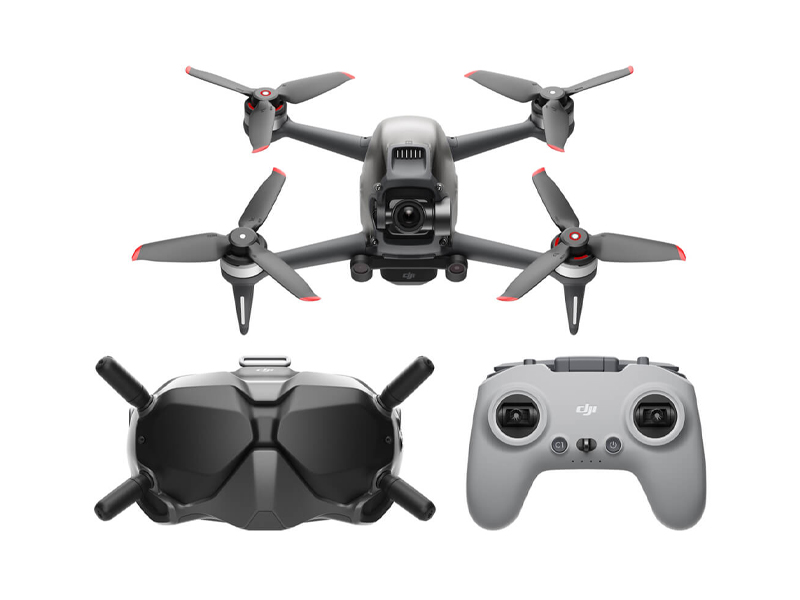 DJI FPV Combo
 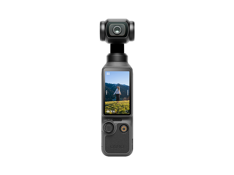 Osmo Pocket 4 Standard Combo
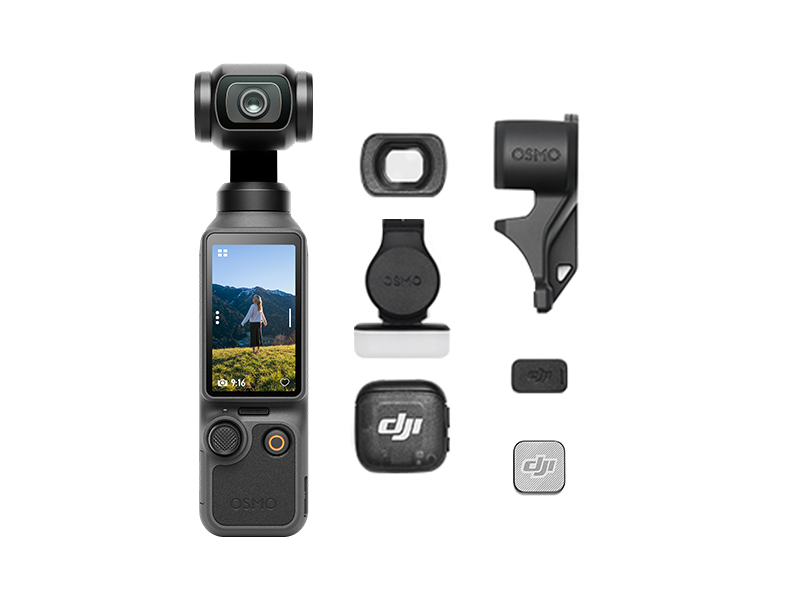 Osmo Pocket 4 Creator Combo
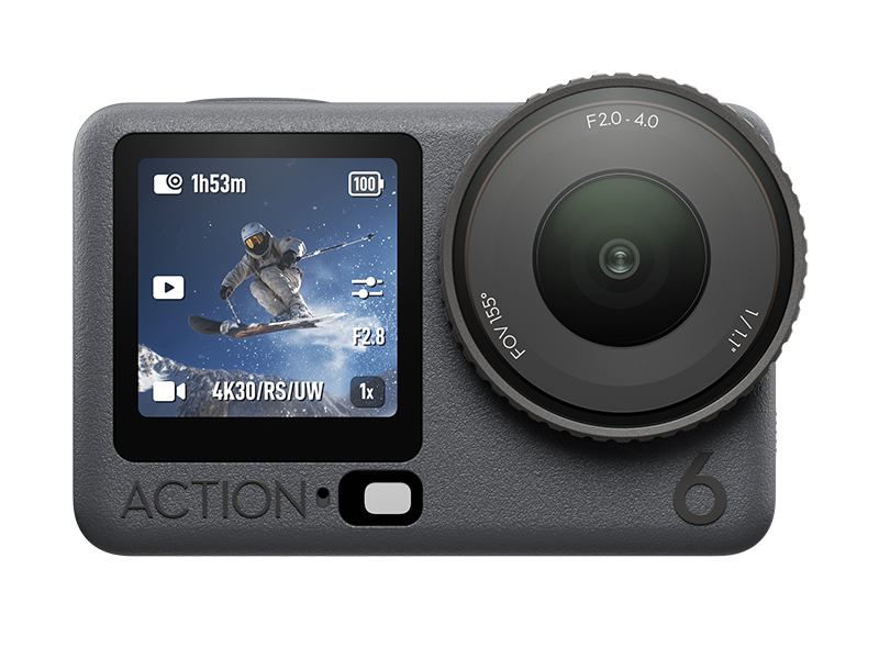 Osmo Action 6 Standard Combo
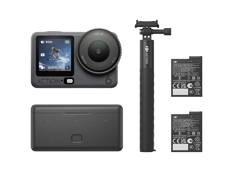 Osmo Action 6 Adventure Combo
 DJI Mic Mini 2 Dual Microphone Combo
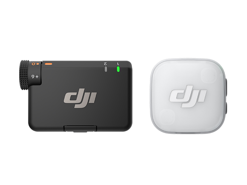 DJI Mic Mini 2 Single Microphone Kit
  DJI Mic Mini 2 Dual Microphone Combo (Mobile)
 DJI Mic Mini 2 Single Microphone Kit (Mobile)
 Osmo Nano Standard Combo (64GB)
 Osmo Nano Standard Combo (128GB)
 Osmo 360 Standard Combo
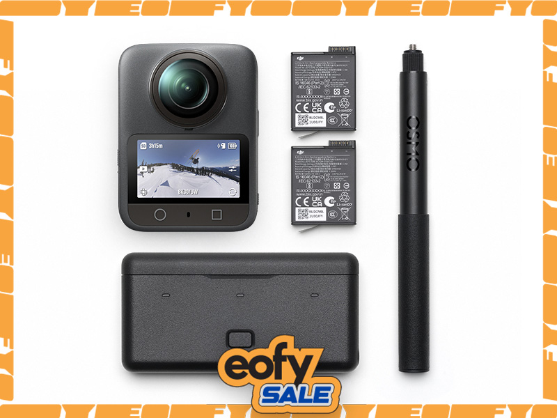 Osmo 360 Adventure Combo
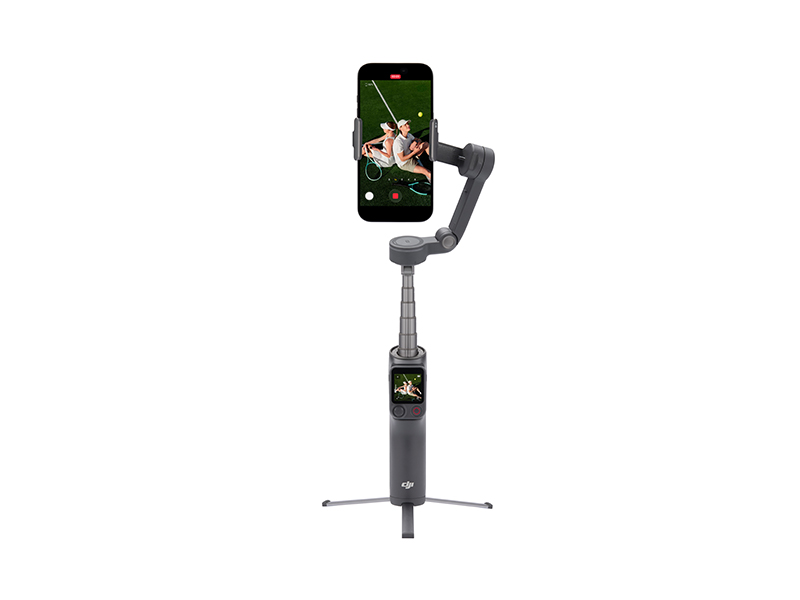 Osmo Mobile 8P Standard Combo
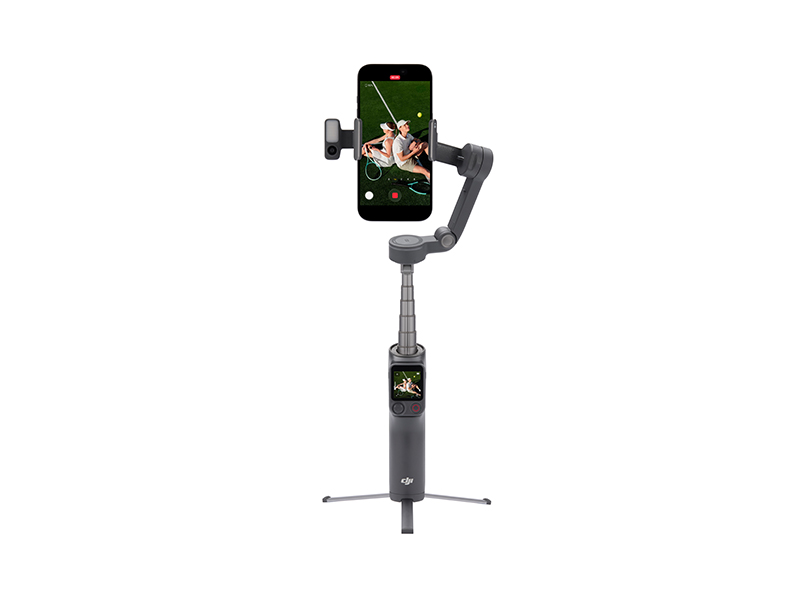 Osmo Mobile 8P Advanced Tracking Combo
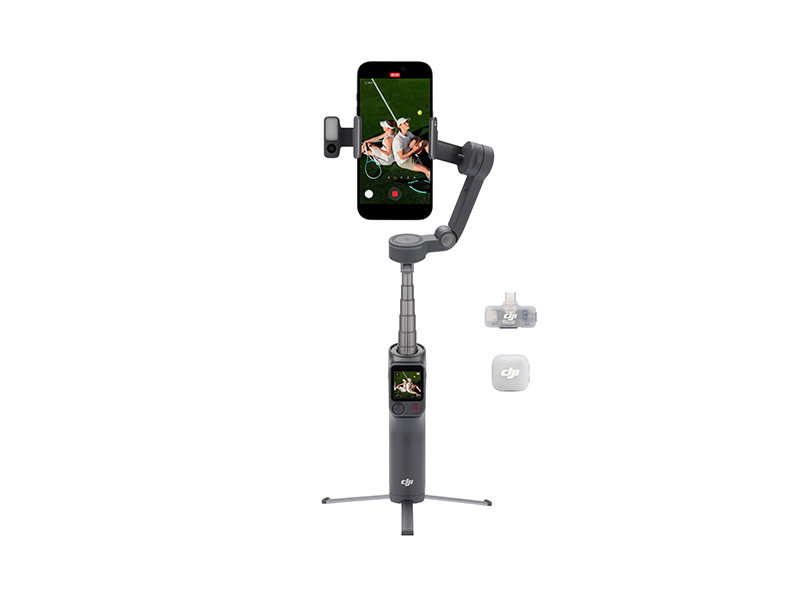 Osmo Mobile 8P Creator Combo
 Osmo Mobile 8 Advanced Tracking Combo
 Osmo Pocket 3 Standard Combo
 Osmo Pocket 3 Creator Combo
 Osmo Pocket 3 (Refurbished)
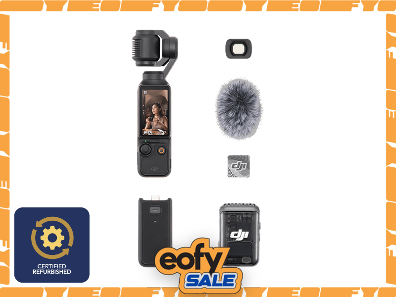 Osmo Pocket 3 Creator Combo (Refurbished)
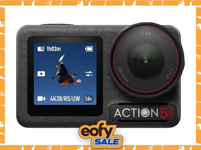 Osmo Action 5 Pro Standard Combo
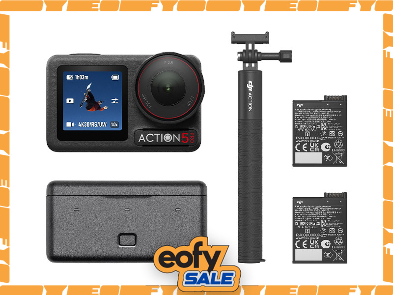 Osmo Action 5 Pro Adventure Combo
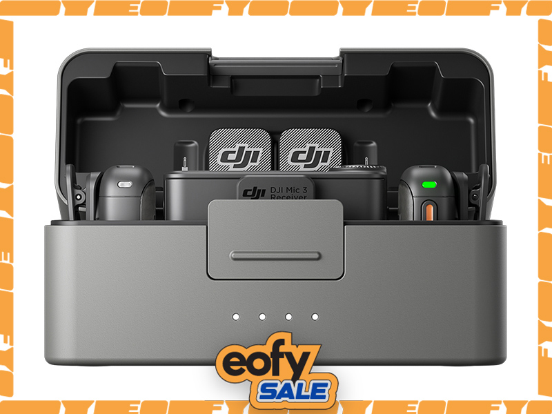 DJI Mic 3 Dual Microphone Combo
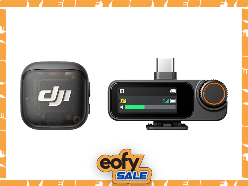 DJI Mic 3 Single Microphone Kit
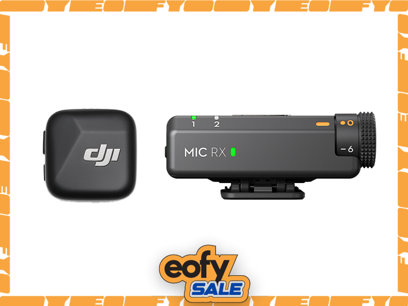 DJI Mic Mini Single Microphone Kit
 DJI Mic Mini Transmitter (Arctic White)
 Osmo Action 4 Standard Combo
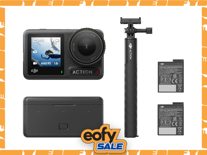 Osmo Action 4 Adventure Combo
 DJI Mic 2 Single Microphone Kit
 DJI Care Refresh 2-Year Plan (DJI Pocket 2)
 Osmo Pocket 3.5mm Adapter
 Freewell Glow Mist 1/4 for Osmo Action 3/4/5 Pro
 Freewell Light Pollution Reduction Filter for Osmo Action Series
 DJI Care Refresh 1-Year Plan (Osmo Action 3)
 DJI Care Refresh 2-Year Plan (Osmo Action 3)
 DJI Mic Single Microphone Kit
 DJI Action 2 Dual Screen Combo
 DJI Osmo Action
  Osmo Pocket
 DJI RS 5
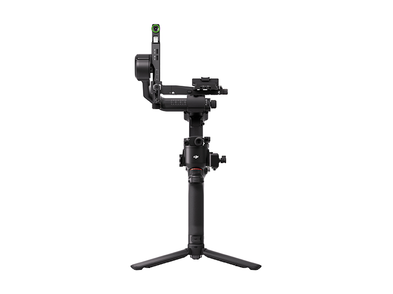 DJI RS 5 Combo
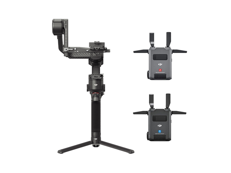 DJI RS 4 Pro Combo (2026)
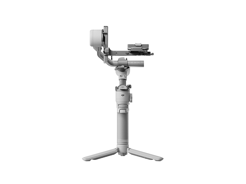 DJI RS 4 Mini
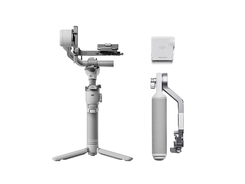 DJI RS 4 Mini Combo
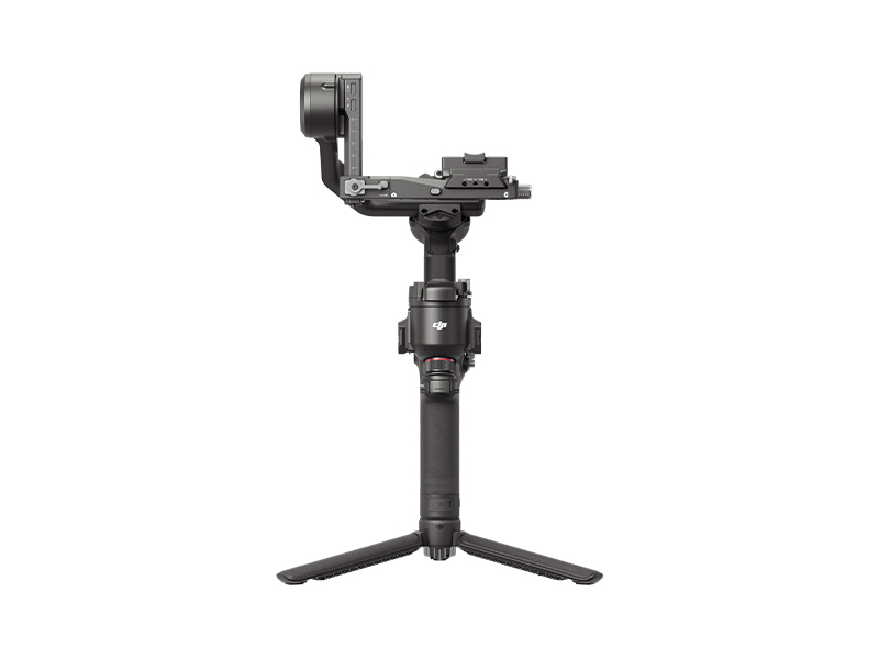 DJI RS 4
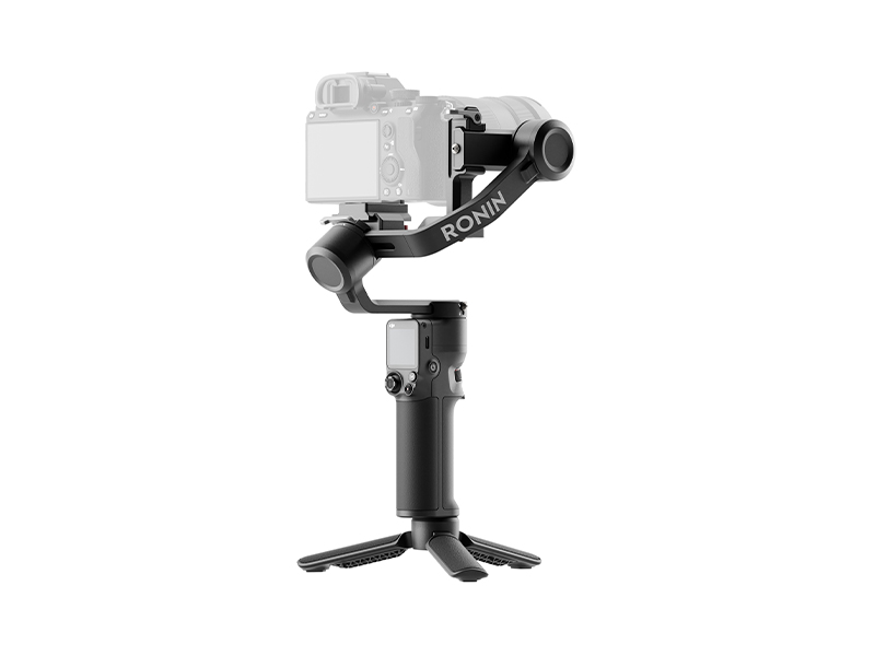 DJI RS 3 Mini
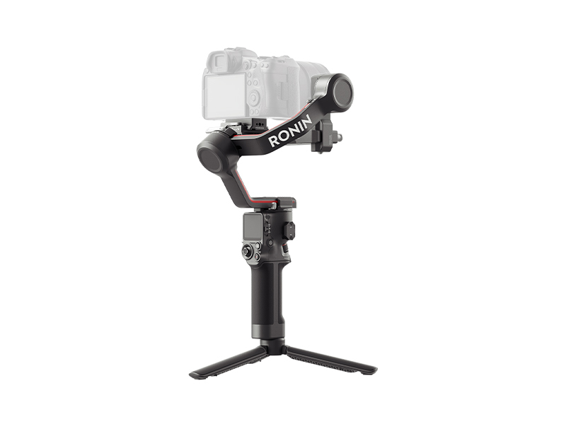 DJI RS 3
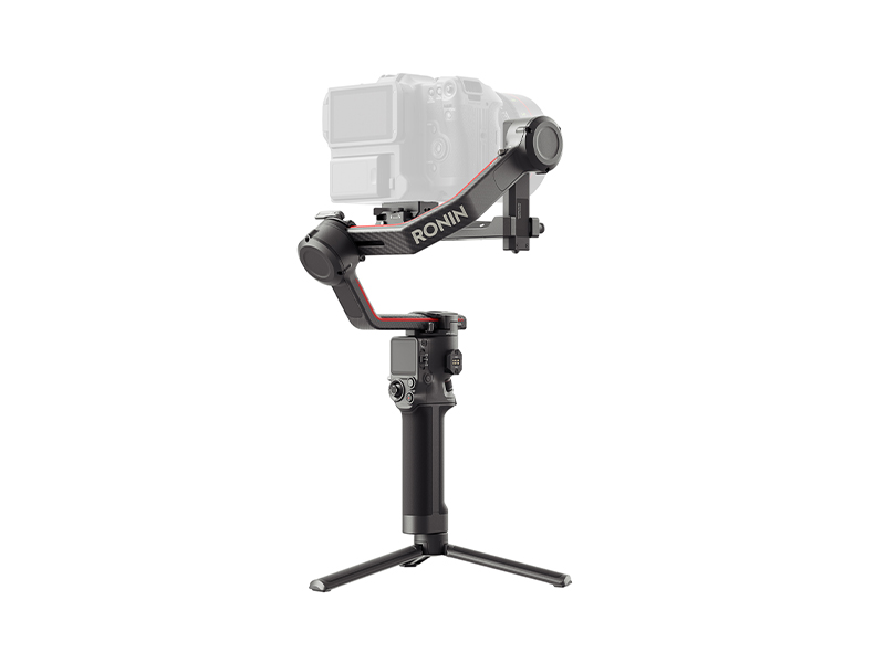 DJI RS 3 Pro
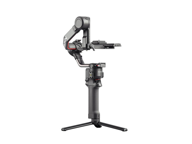 DJI RS 2
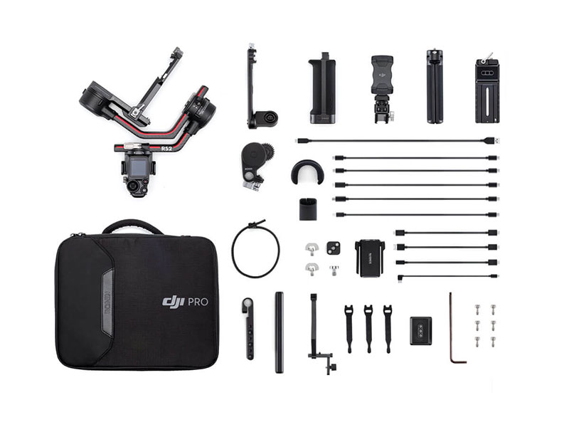 DJI RS 2 Pro Combo
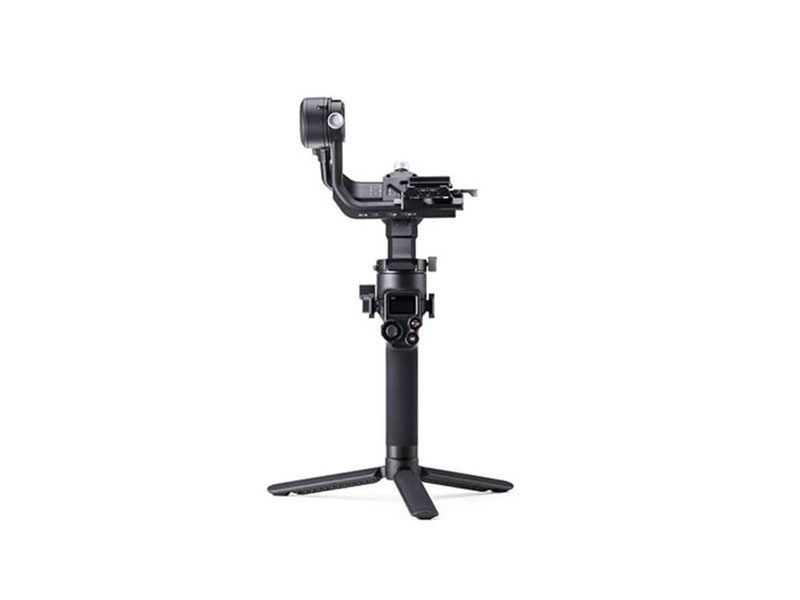 DJI RSC 2
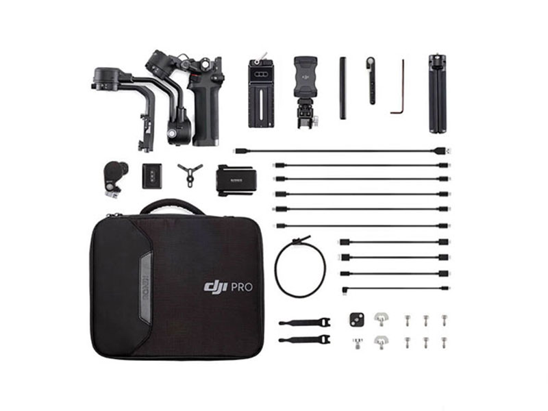 DJI RSC 2 Pro Combo
 Ronin-S
 Ronin-SC
 Ronin 4D-6K
 Ronin 4D-8K
 DJI Inspire 3 Basic Package
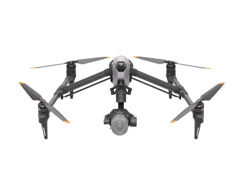 DJI Inspire 3
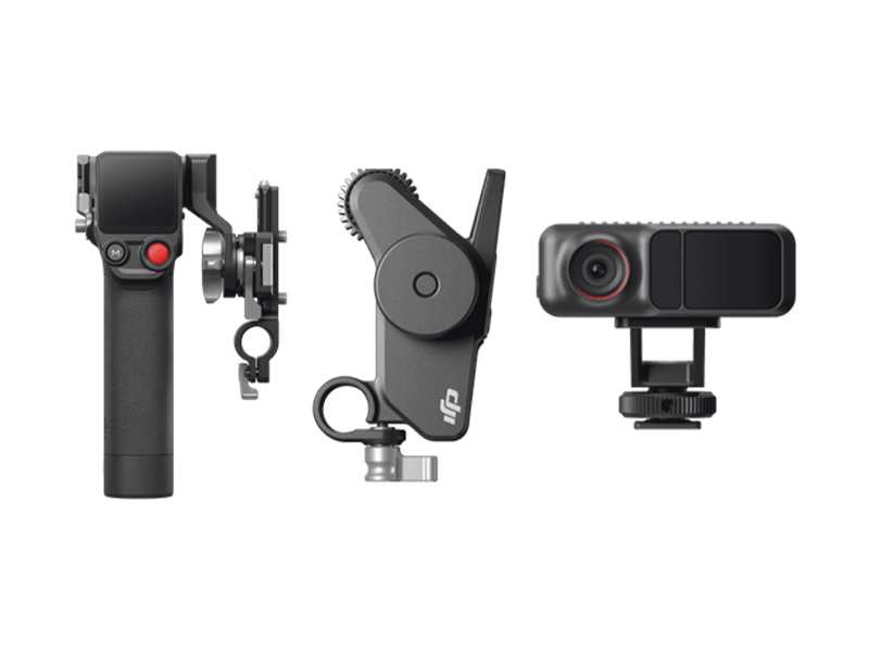 DJI Focus Pro Creator Combo
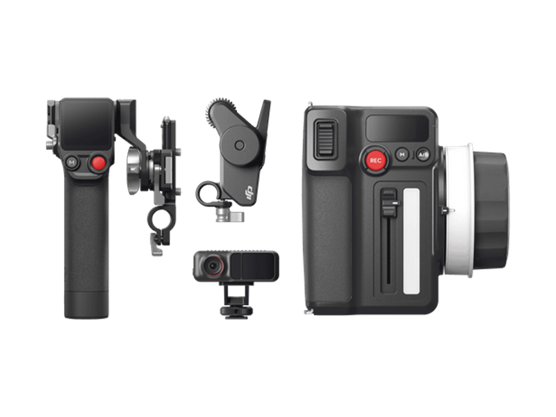 DJI Focus Pro All-In-One Combo
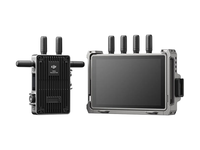 DJI Transmission (High-Bright Monitor Combo)
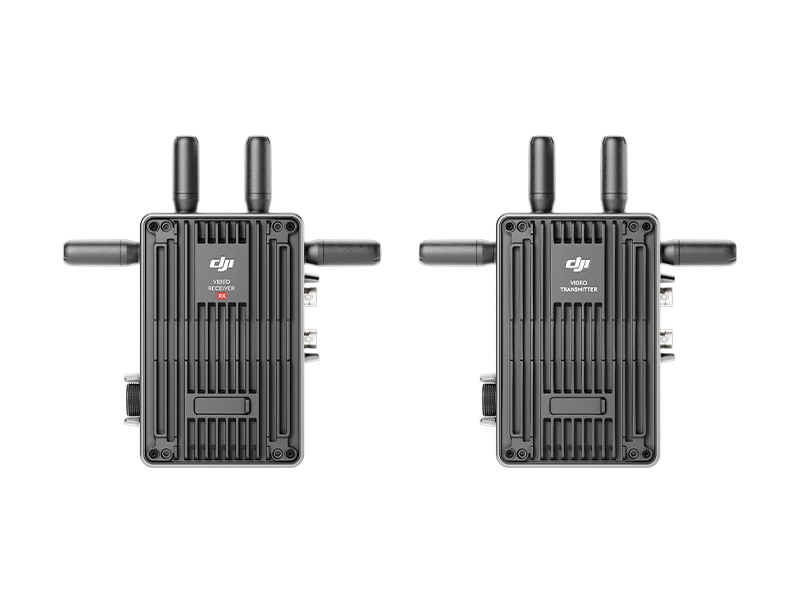 DJI Transmission (Standard Combo)
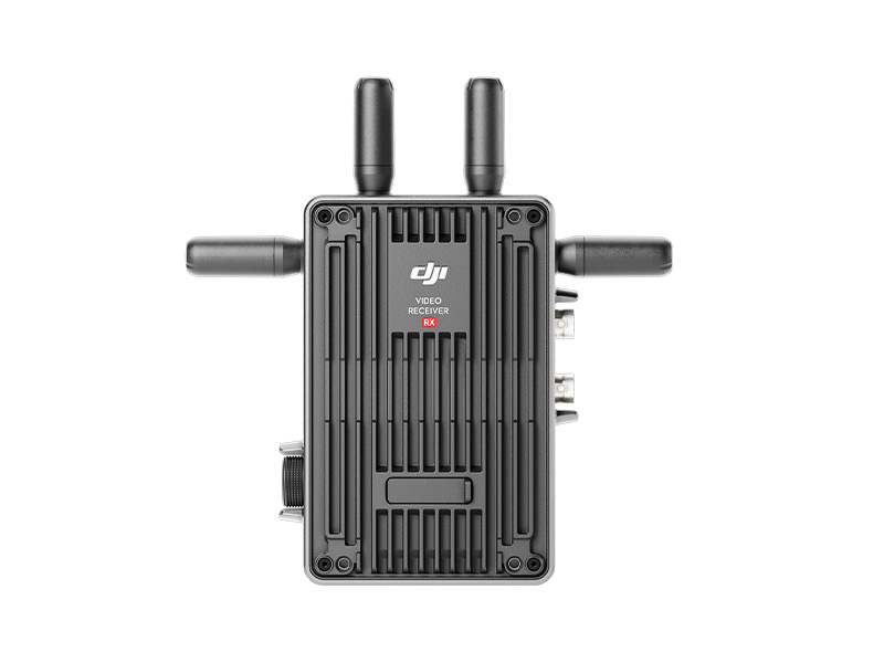 DJI Video Receiver
 Inspire 2
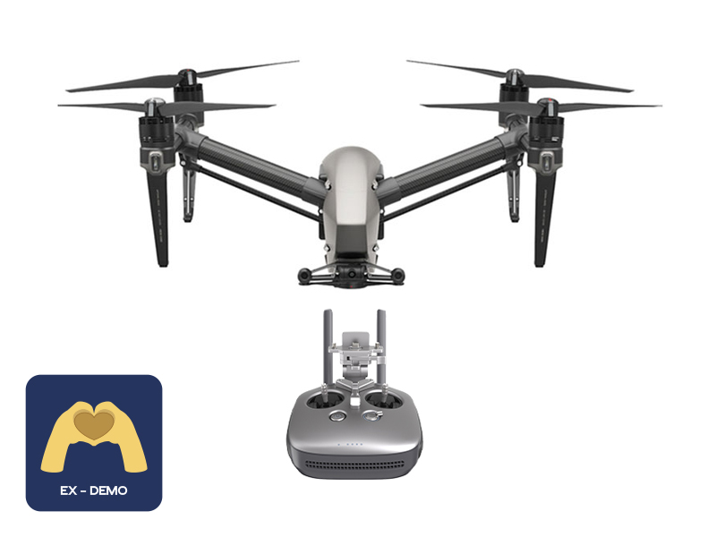 Ex-Demo Inspire 2
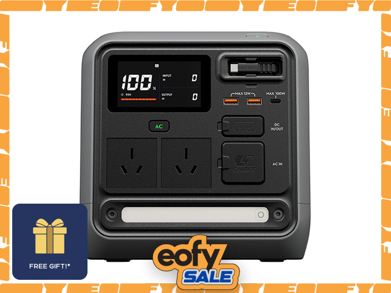 DJI Power 1000 Mini
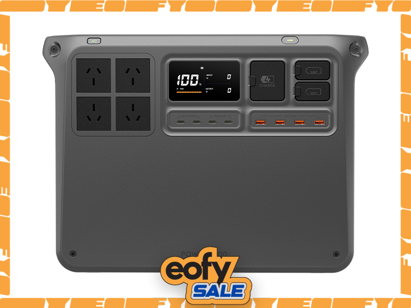 DJI Power 2000
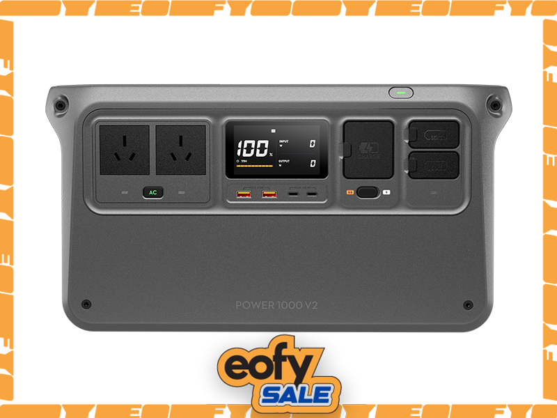 DJI Power 1000 V2
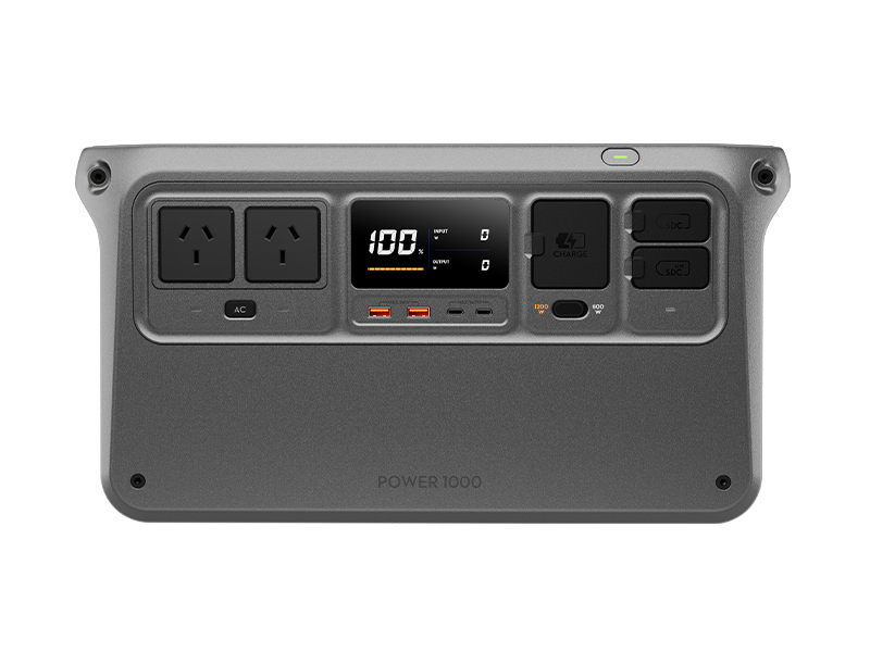 DJI Power 1000 Portable Power Station
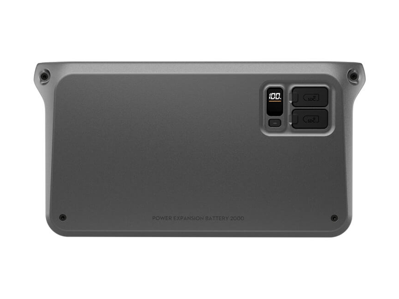 DJI Power Expansion Battery 2000
 DJI Power Dongle
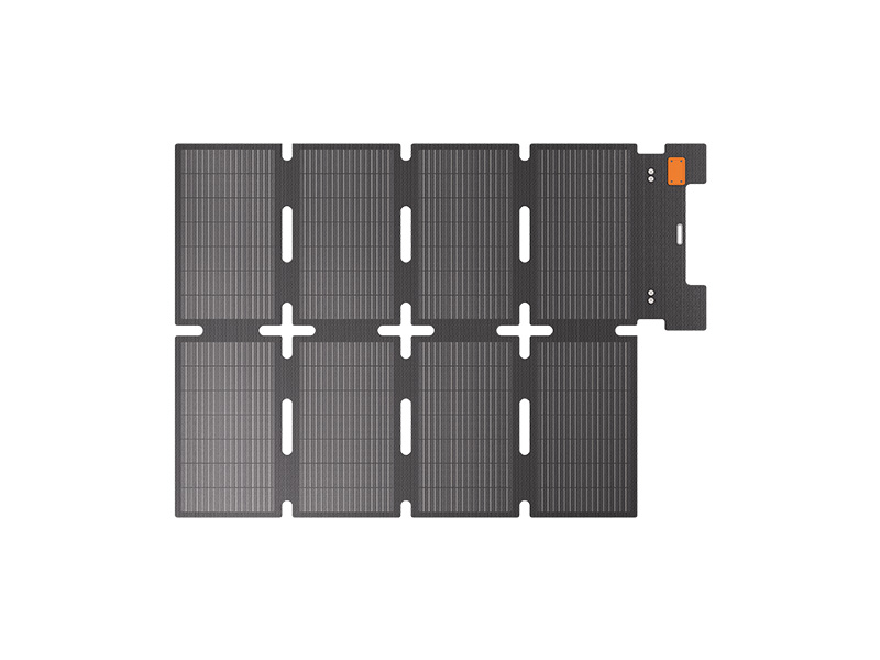 IBCPOWER 100W Foldable Solar Panel
 DJI Power Expansion Battery 2000 Mounting Kit
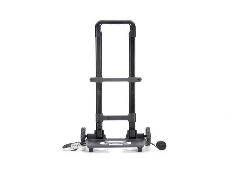 DJI Power Series Hand Truck
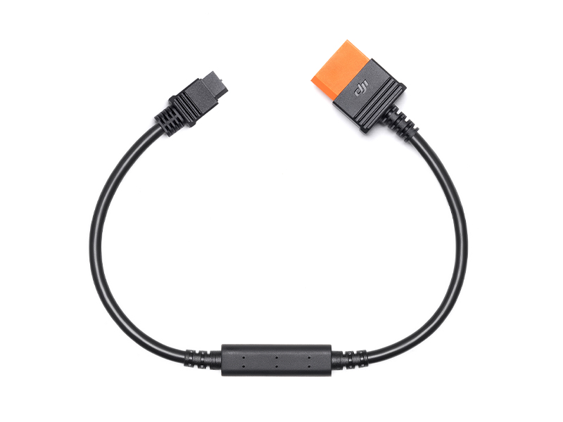 DJI Power SDC to XT60 Power Cable (12V)
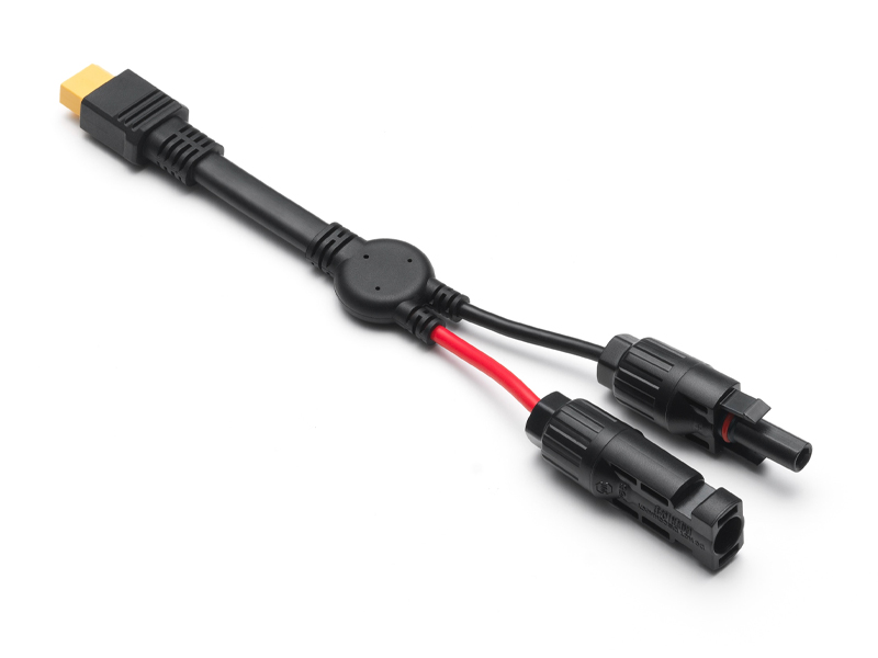 DJI Power MC4 to XT60 Solar Power Cable
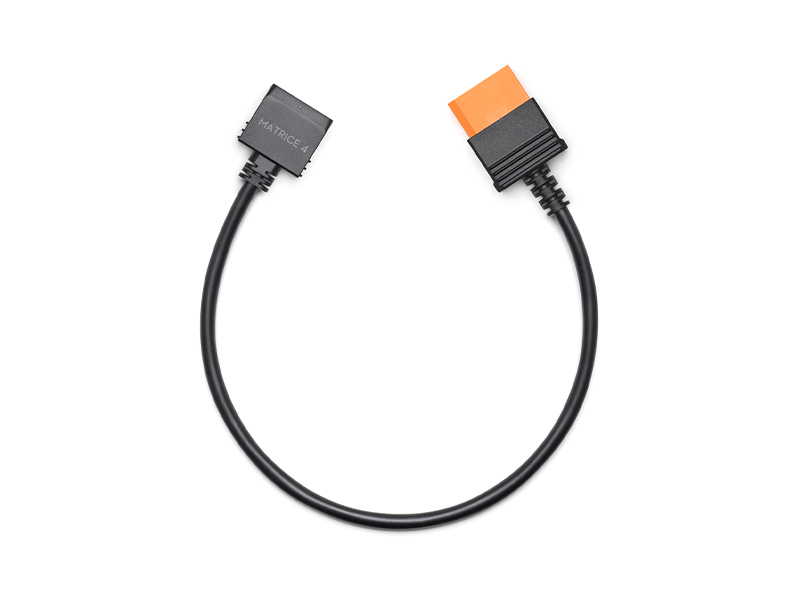 DJI Power SDC to DJI Matrice 4 Fast Charge Cable
 DJI Power Drone Fast Charging Cable
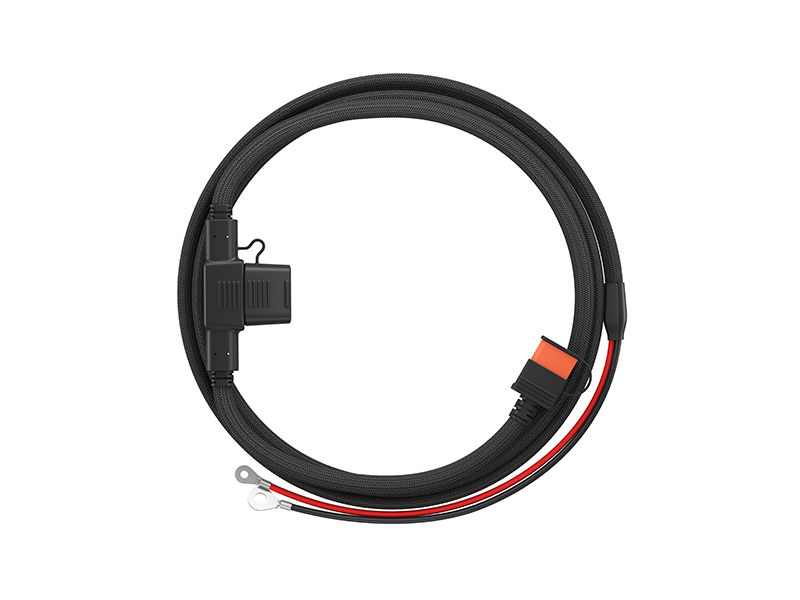 DJI Power Car Battery Charging Cable
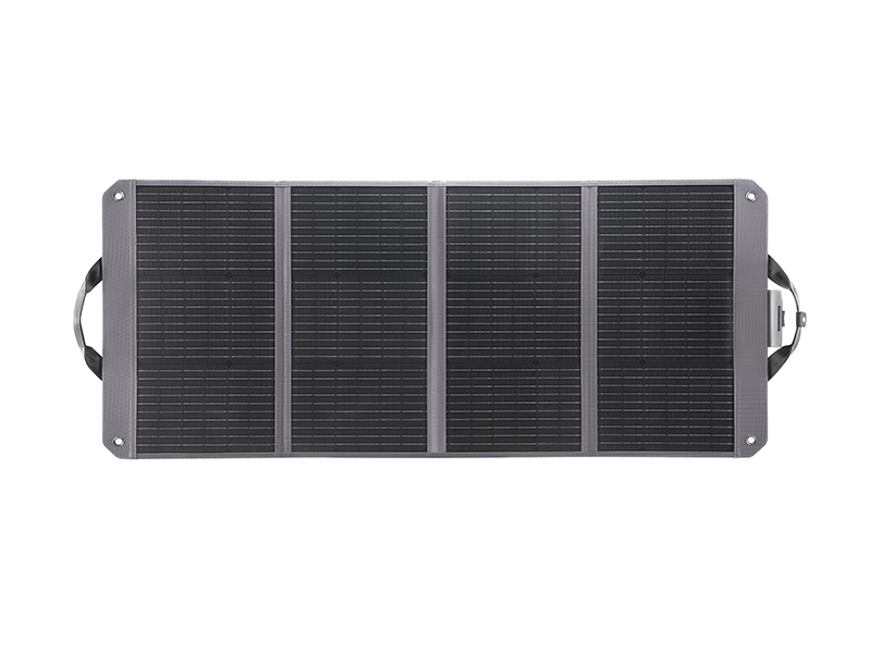 Zignes 120W Solar Panel
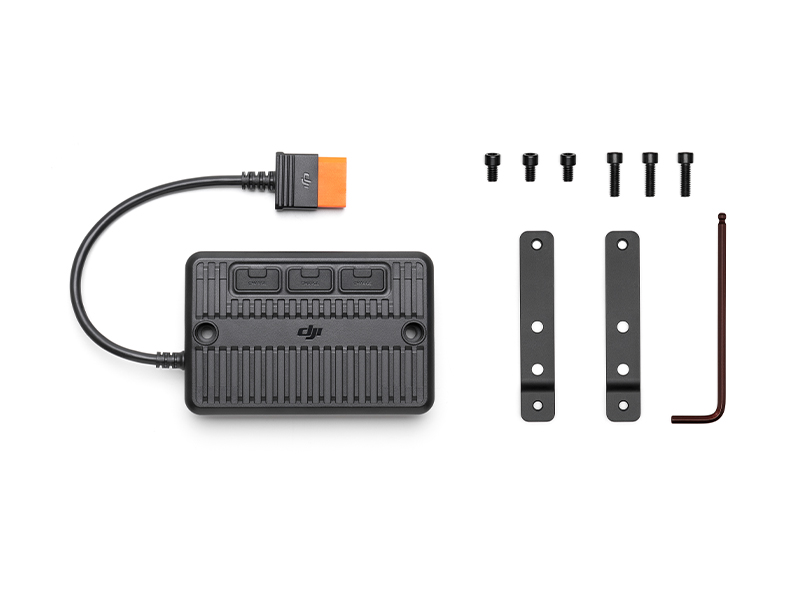 DJI Power Solar Panel Adapter Module (MPPT)
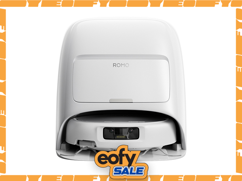 DJI ROMO S (Water Tank Version)
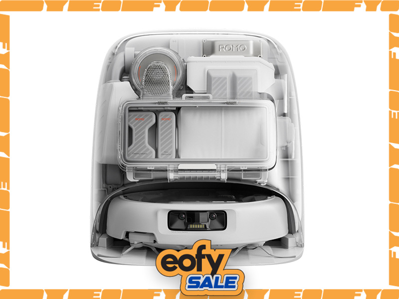 DJI ROMO P (Water Tank Version)
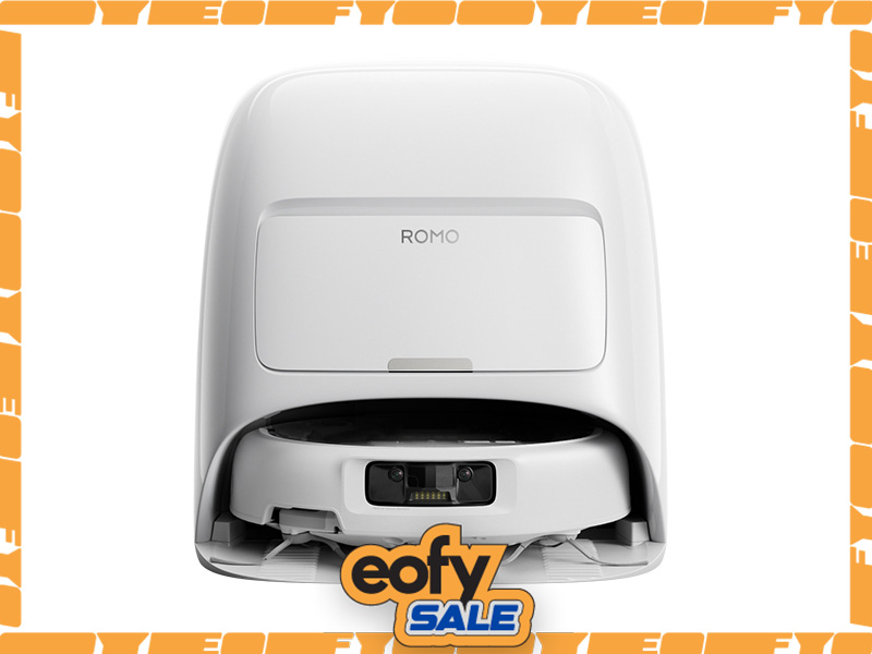 DJI ROMO A (Water Tank Version)
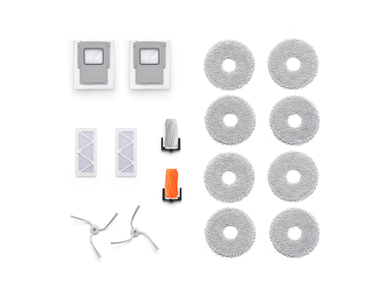 ROMO Accessory Kit
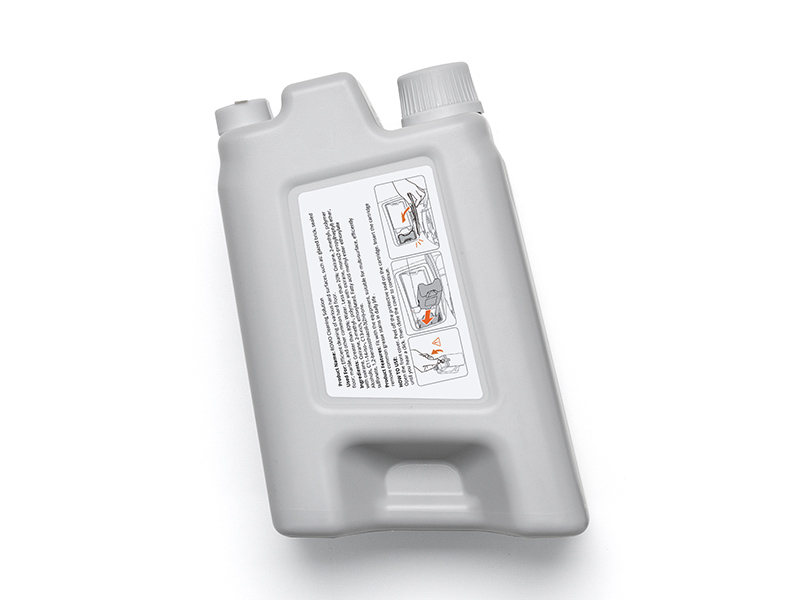 ROMO Cleaning Solution
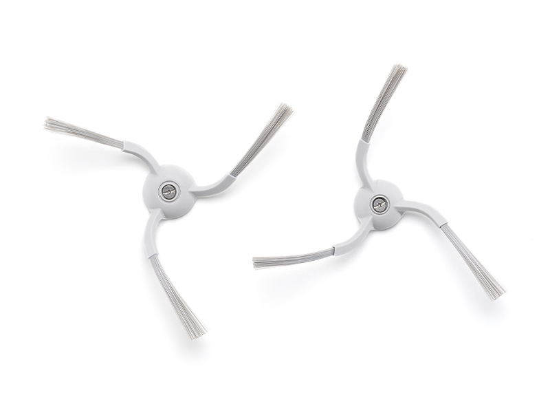 ROMO Side Brush
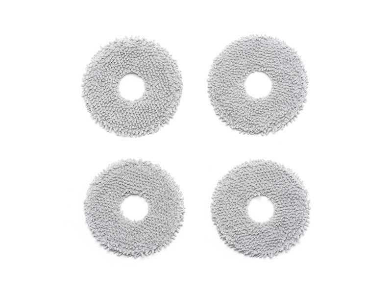 ROMO Mop Pad
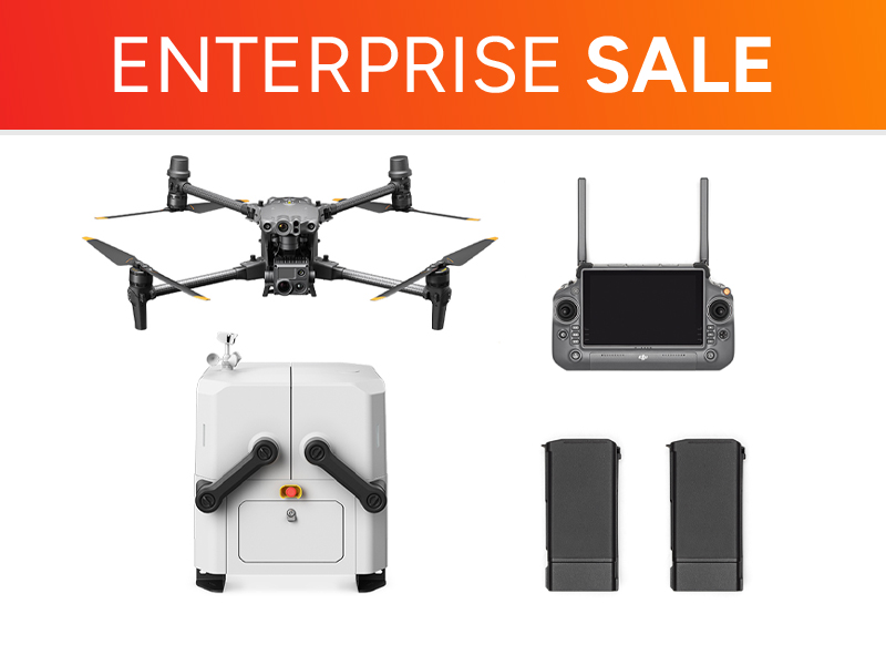 Matrice 30T Dock Bundle
 NextCore RN50 Drone LiDAR
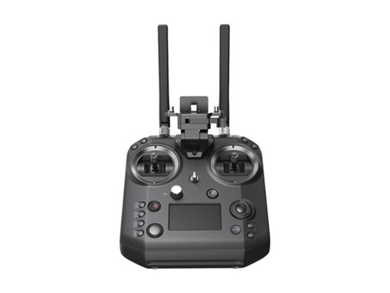 Cendence-S Remote Controller For M200 V2 Series
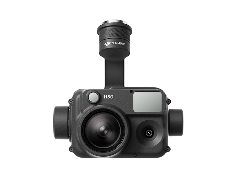 Zenmuse H30
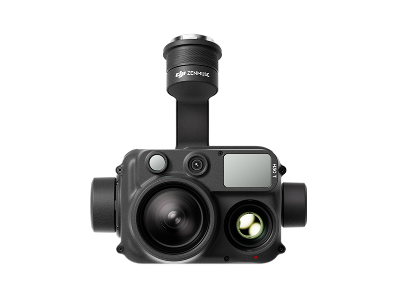 Zenmuse H30T
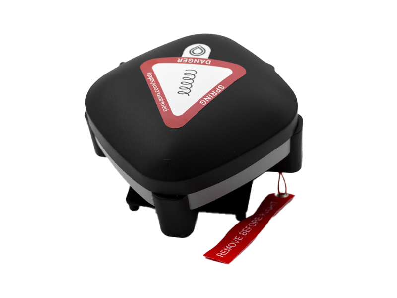 ParaZero SafeAir Parachute for Matrice 30 Series
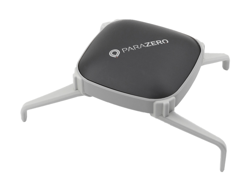 ParaZero SafeAir Parachute for DJI Mavic 3 Series (ASTM Compliant)
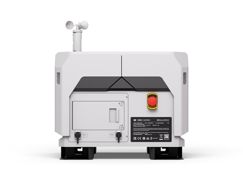 DJI Dock 2
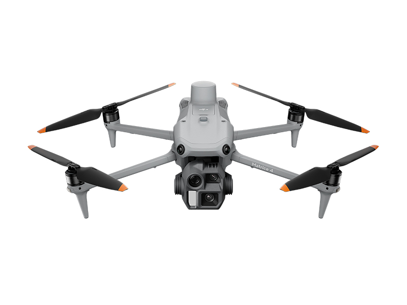 DJI Matrice 4E
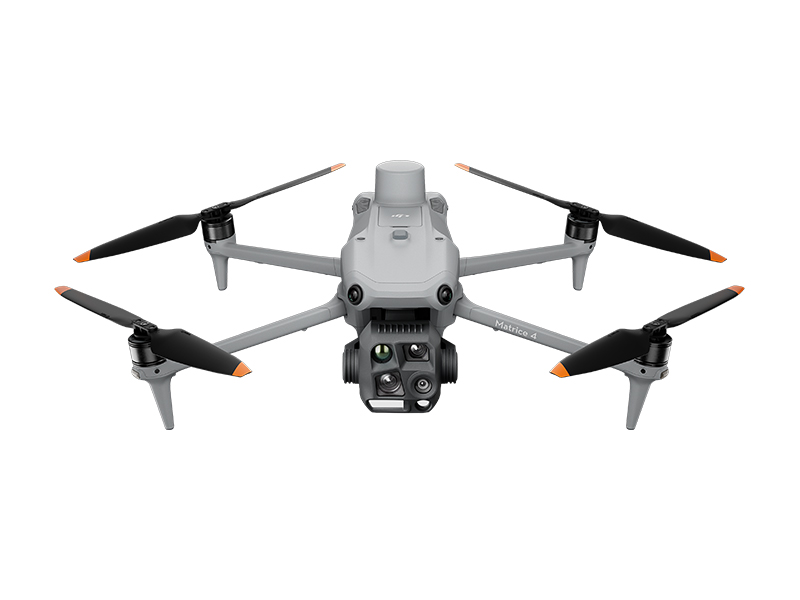 DJI Matrice 4T
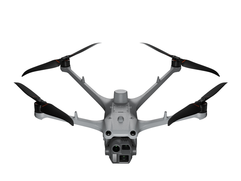 DJI Matrice 4D
 DJI Matrice 4D Combo
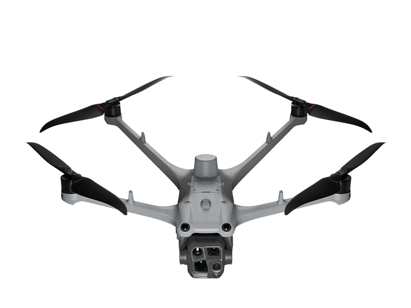 DJI Matrice 4TD
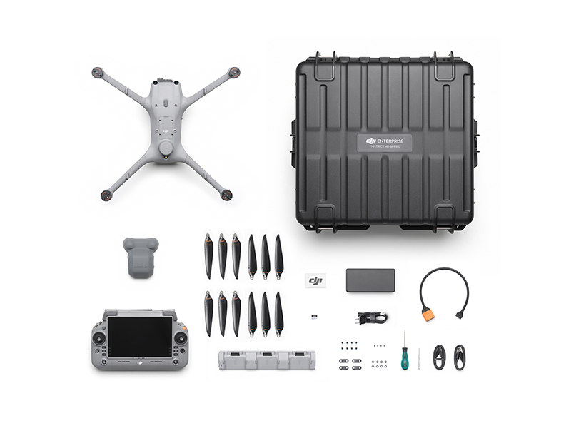 DJI Matrice 4TD Combo
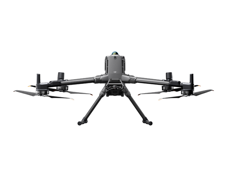 DJI Matrice 400
 DJI Dock 3
 DJI Mavic 3 Thermal Advanced
 DJI Mavic 3 Multispectral
 DJI FlyCart 30
 DJI FlyCart 100
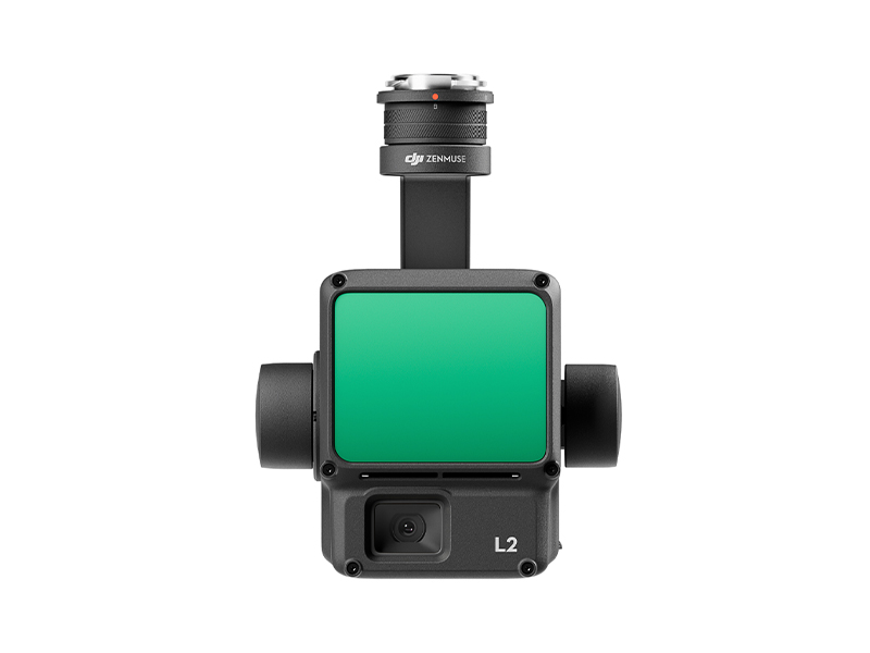 Zenmuse L2
 Zenmuse P1
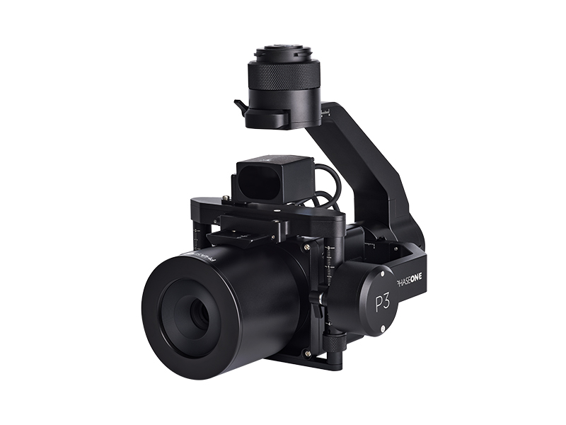 Phase One P3 Payload (iXM 120MP) with 80mm AF
 Deepthink S2 Pro Night Vision Payload
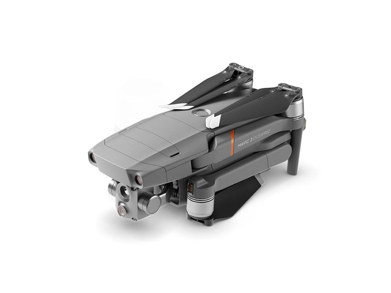 Mavic 2 Enterprise Advanced
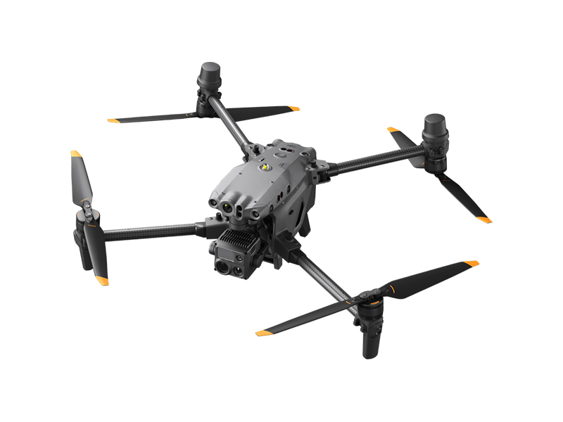 Matrice 30T
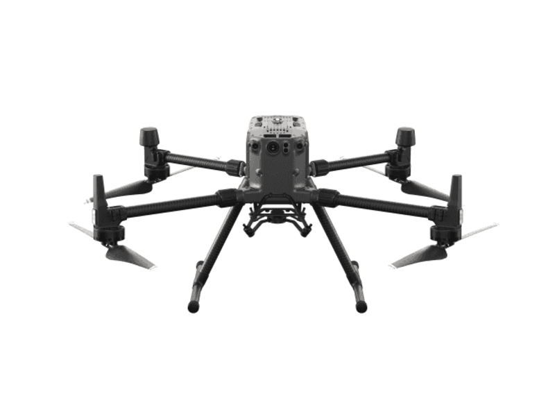 Matrice 300 RTK
 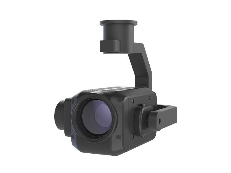 Deepthink S2 Night Vision Payload for Matrice 300 Series
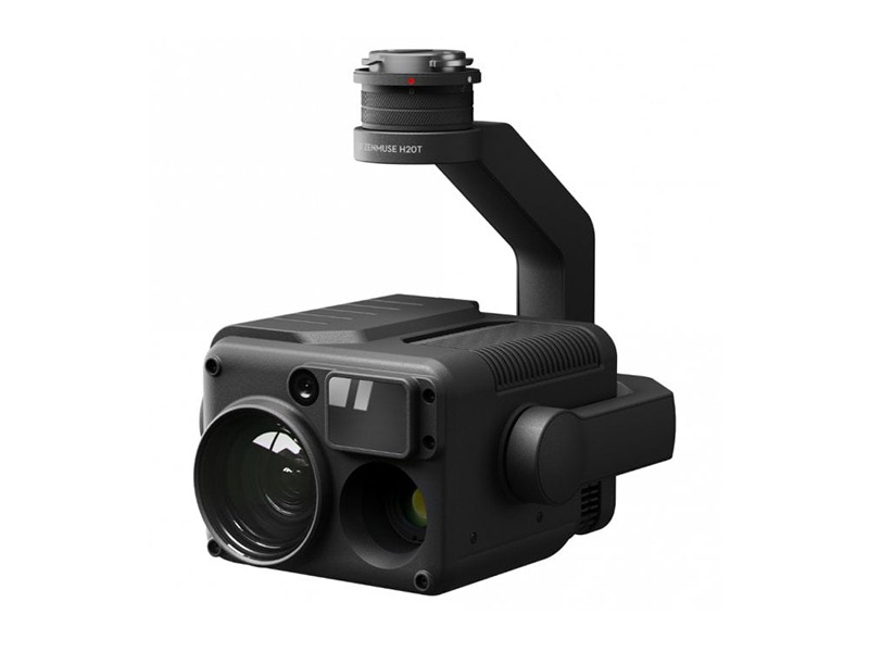 Zenmuse H20T
  DJI Care Enterprise Plus (DJI Matrice 400)
 DJI Care Enterprise Plus (DJI Matrice 4E)
 DJI Maintenance Program Basic Service (Matrice 300 RTK)
 DJI Maintenance Program Standard Service (Mavic 2 Series)
 DJI Maintenance Program Standard Service (Matrice 300 RTK)
 DJI AGRAS T100
 AGRAS T50
 DJI RC Plus for AGRAS Series
 DJI AGRAS T25P
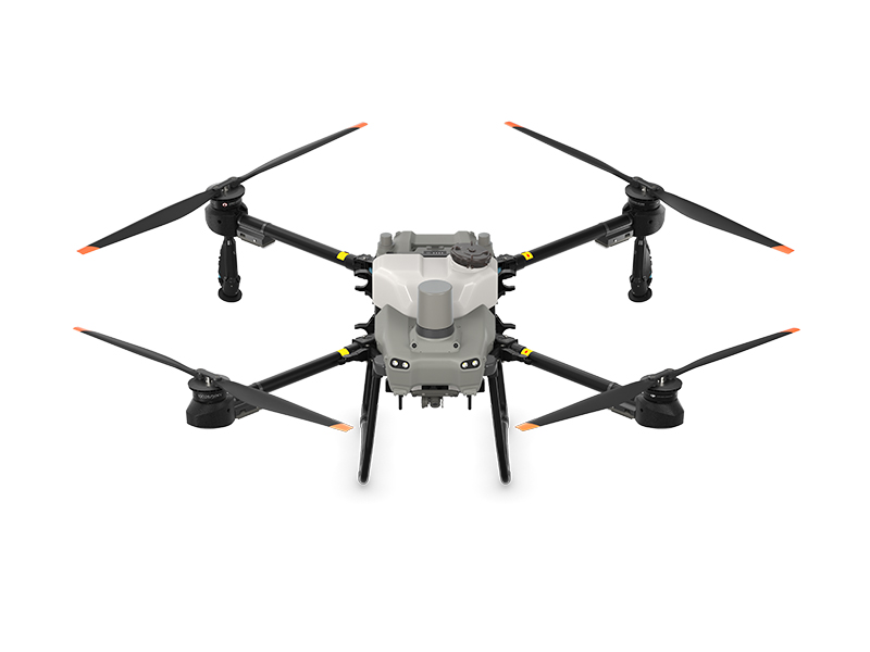 AGRAS T25
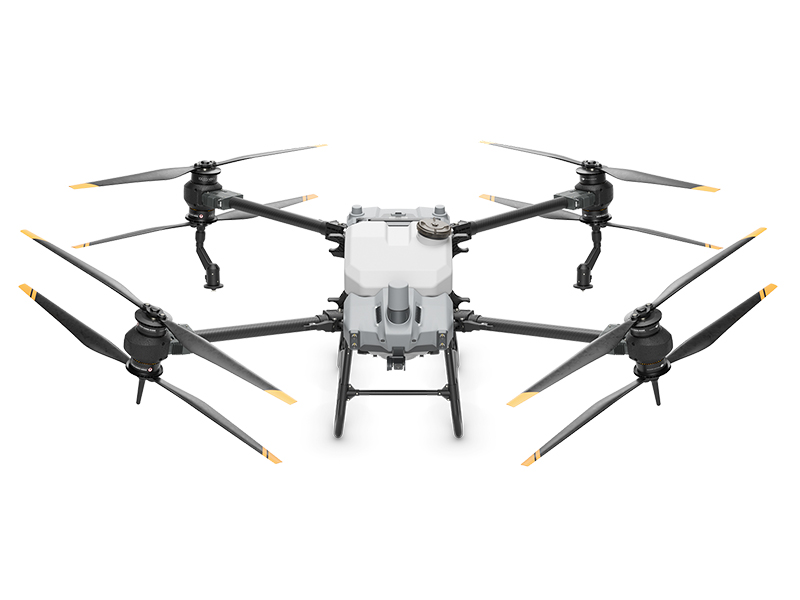 AGRAS T40 (Drone Only, No Batteries)
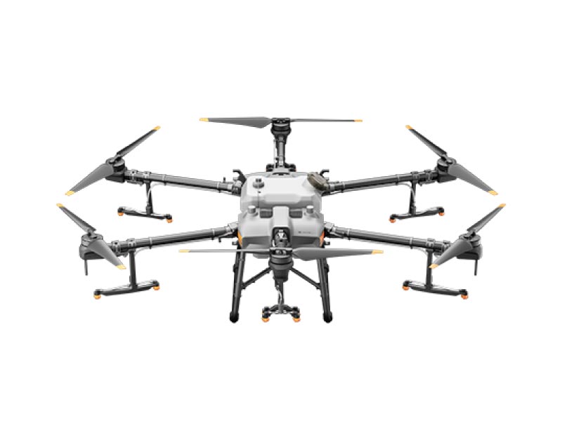 DJI AGRAS T30 (Excluding Batteries)
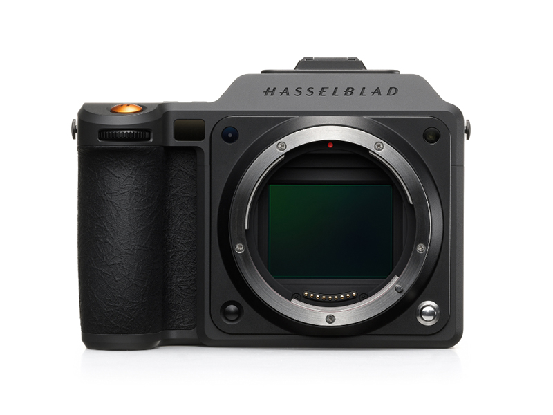 X2D II 100C
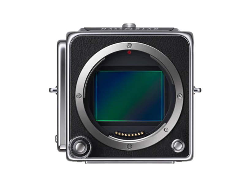 907X & CFV 100C
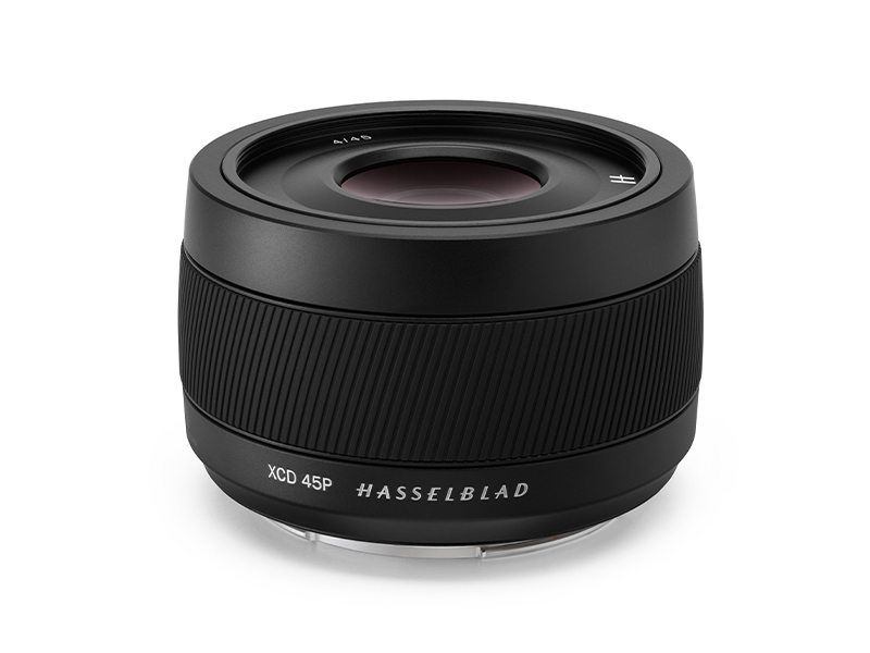 XCD 45P
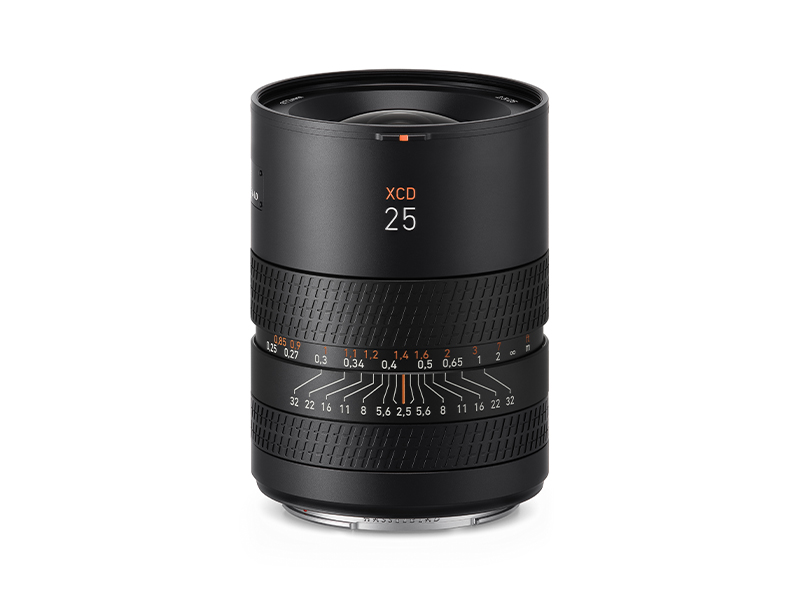 XCD 2,5/25V
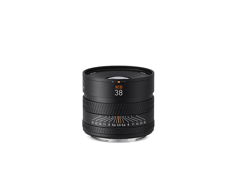 XCD 2,5/38V
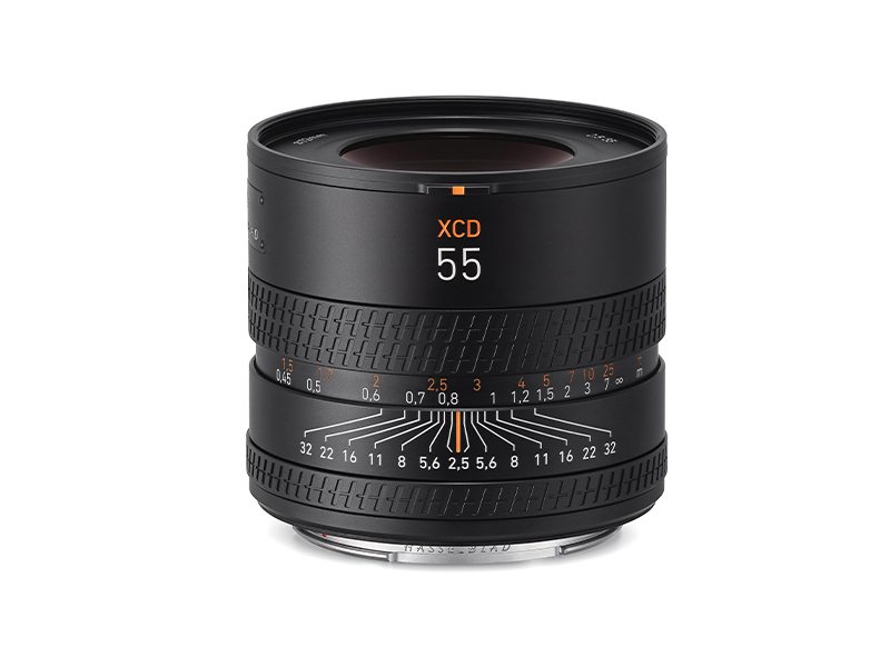 XCD 2,5/55V
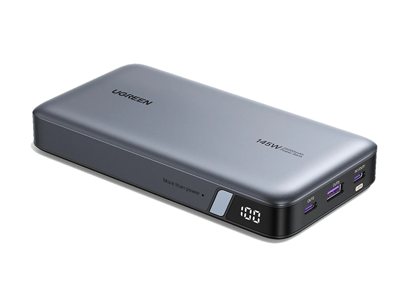 UGREEN 145W 25000mAh Power Bank
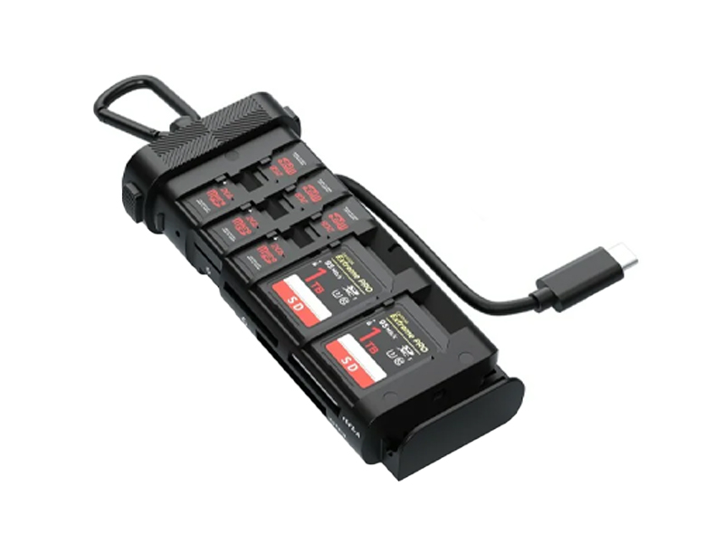 Freewell Pro Card Reader (CF A/B, SD, TF)
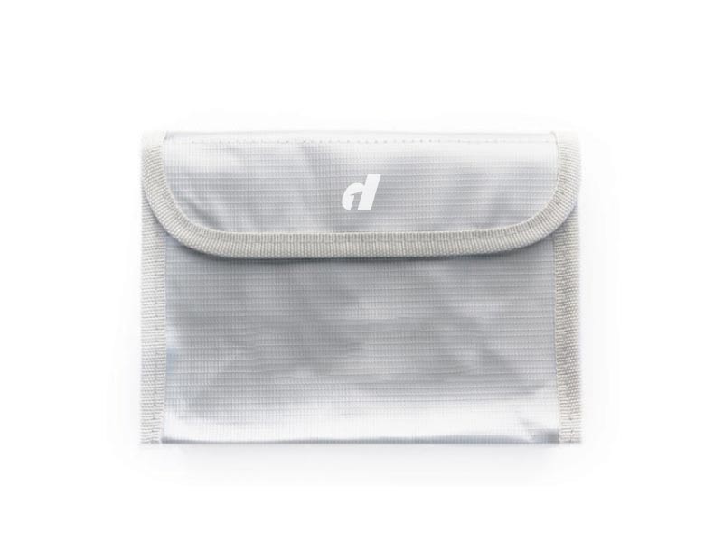 LiPO Battery Safe Bag (Medium)
 D1 Labs Landing Pad Pro (50CM)
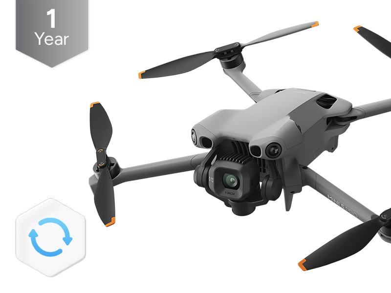 DJI Care Refresh 1-Year Plan (DJI Mini 5 Pro)
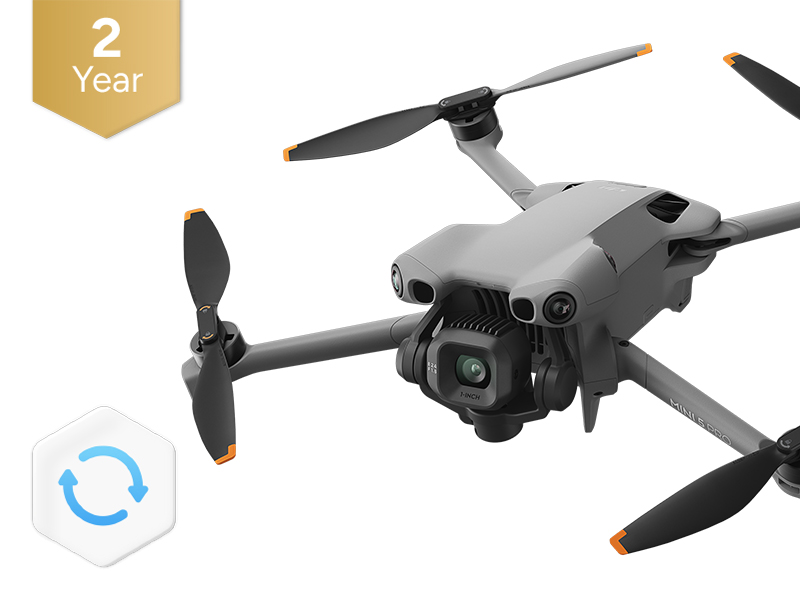 DJI Care Refresh 2-Year Plan (DJI Mini 5 Pro)
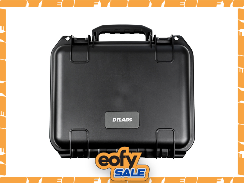 D1 Labs Safety Case for DJI Mini 5 Pro
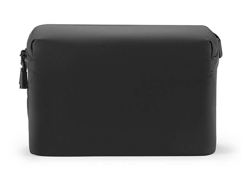 DJI Mini 5 Pro Shoulder Bag
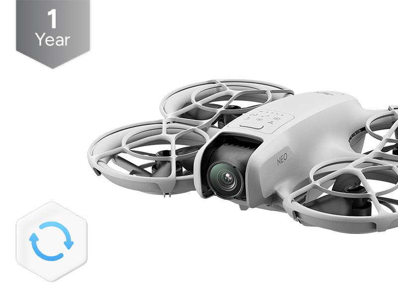 DJI Care Refresh 1-Year Plan (DJI Neo)
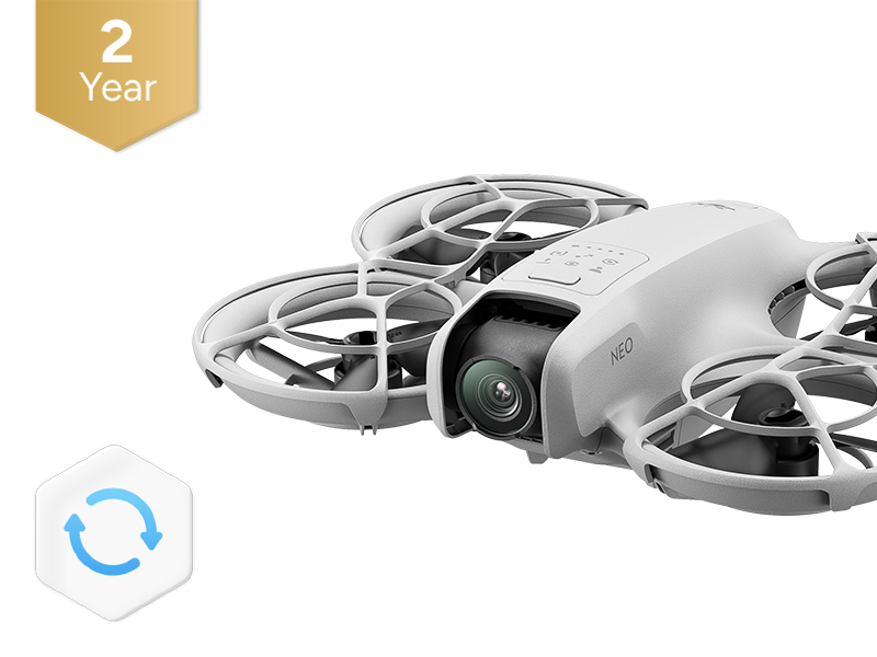 DJI Care Refresh 2-Year Plan (DJI Neo)
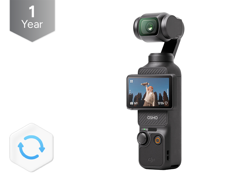 DJI Care Refresh 1-Year Plan (Osmo Pocket 3)
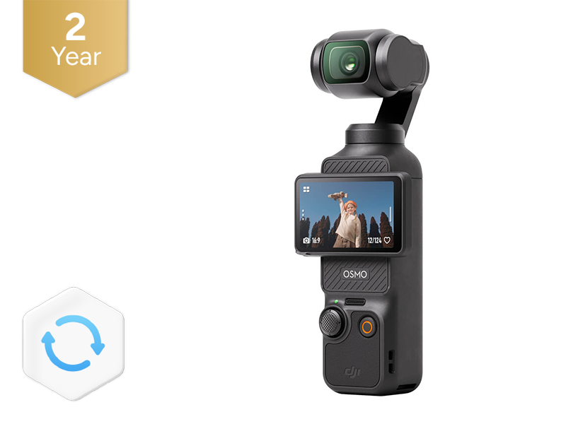 DJI Care Refresh 2-Year Plan (Osmo Pocket 3)
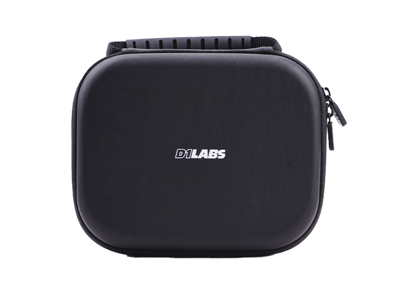 D1 Labs Carry Case for Osmo Pocket 3
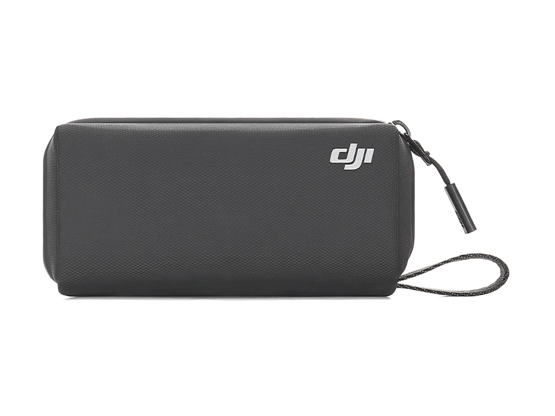 Osmo Pocket 3 Carrying Bag
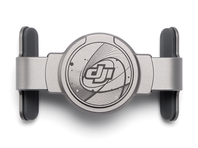 DJI OM Magnetic Phone Clamp 5
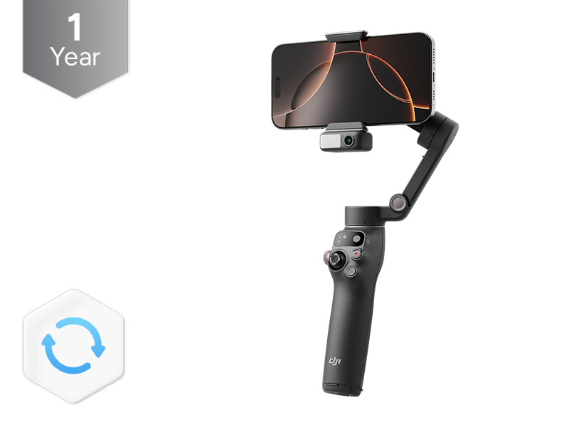 DJI Care Refresh 1-Year Plan (Osmo Mobile 7P)
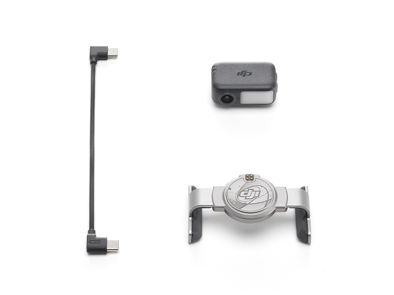 DJI OM 7 Series Tracking Kit
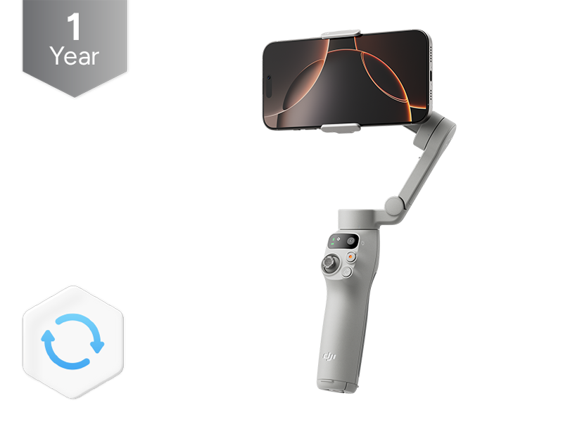 DJI Care Refresh 1-Year Plan (Osmo Mobile 7)
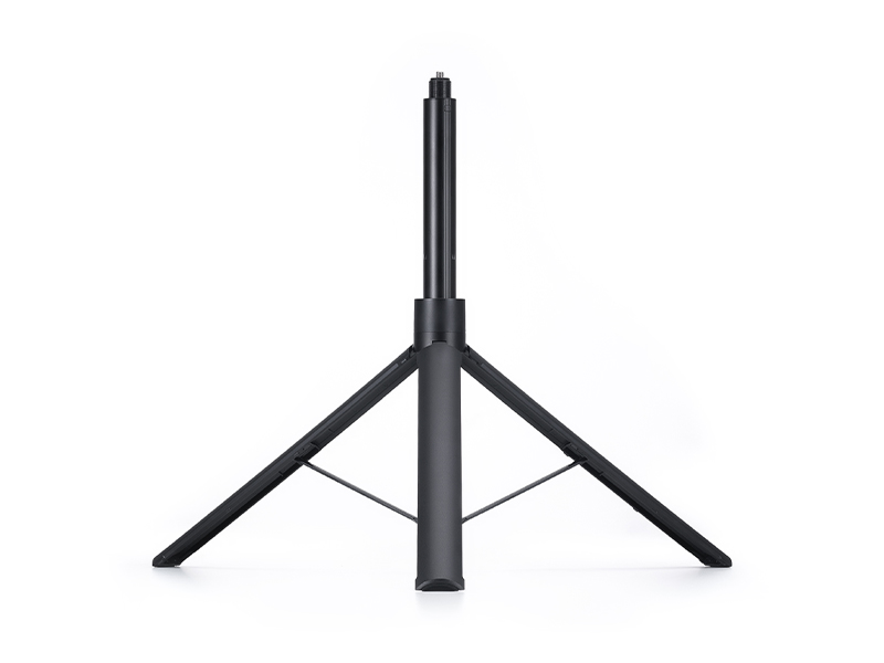 Osmo 1.6m Tripod Selfie Stick
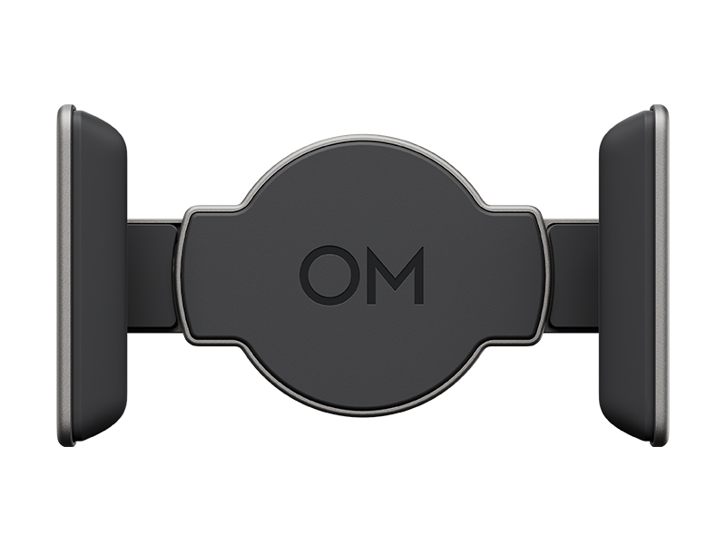 DJI OM 7 Series Magnetic Phone Clamp
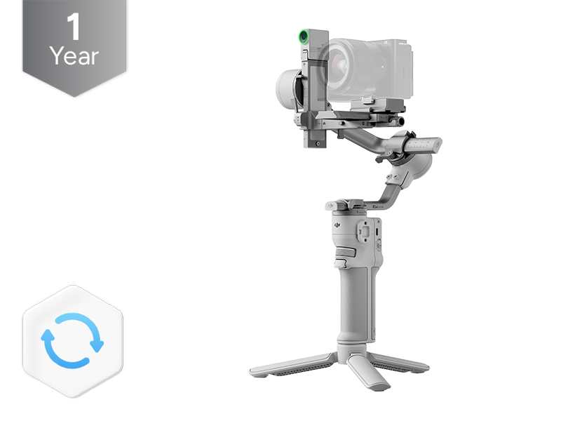 DJI Care Refresh 1-Year Plan (DJI RS 4 Mini)
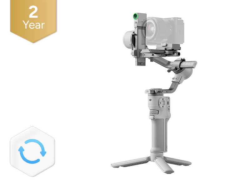 DJI Care Refresh 2-Year Plan (DJI RS 4 Mini)
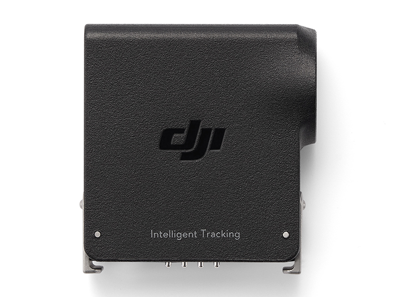 DJI RS Enhanced Intelligent Tracking Module
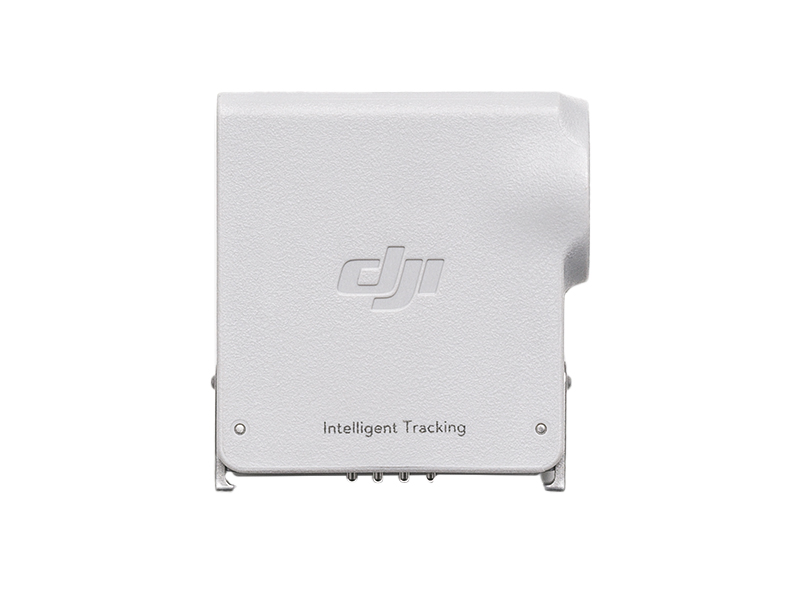 DJI RS Intelligent Tracking Module
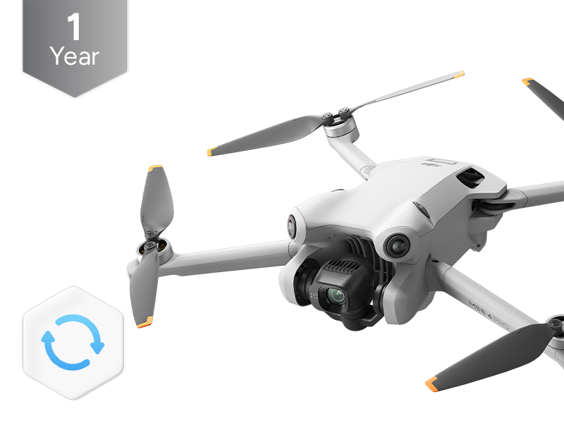 DJI Care Refresh 1-Year Plan (DJI Mini 4 Pro)
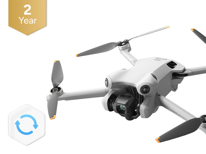 DJI Care Refresh 2-Year Plan (DJI Mini 4 Pro)
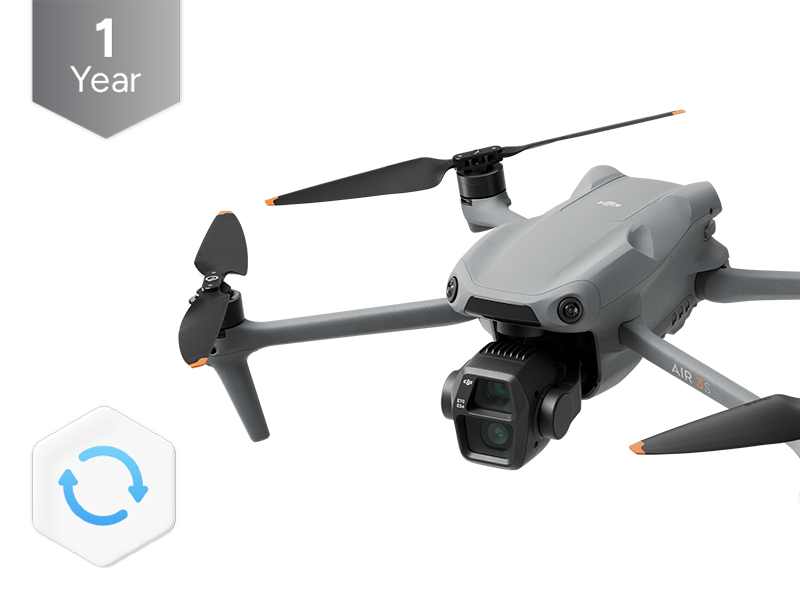 DJI Care Refresh 1-Year Plan (DJI Air 3S)
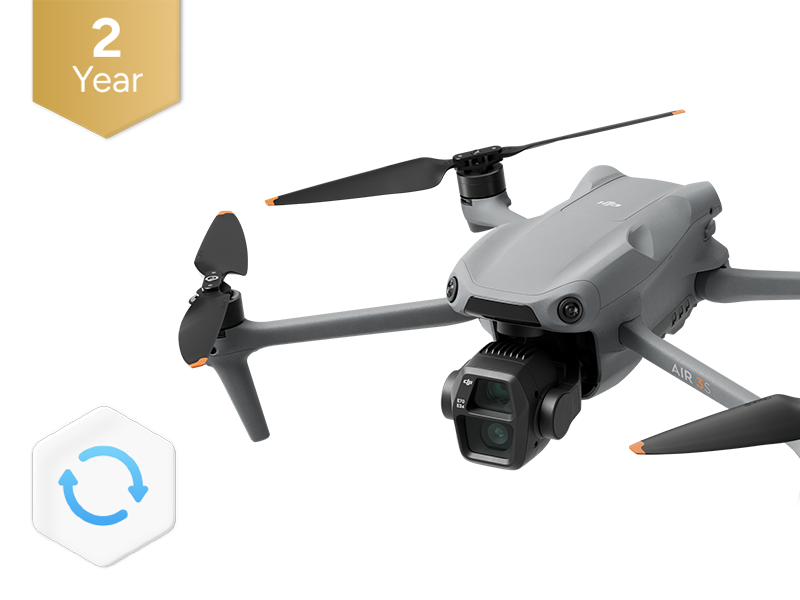 DJI Care Refresh 2-Year Plan (DJI Air 3S)
 DJI RC Pro 2
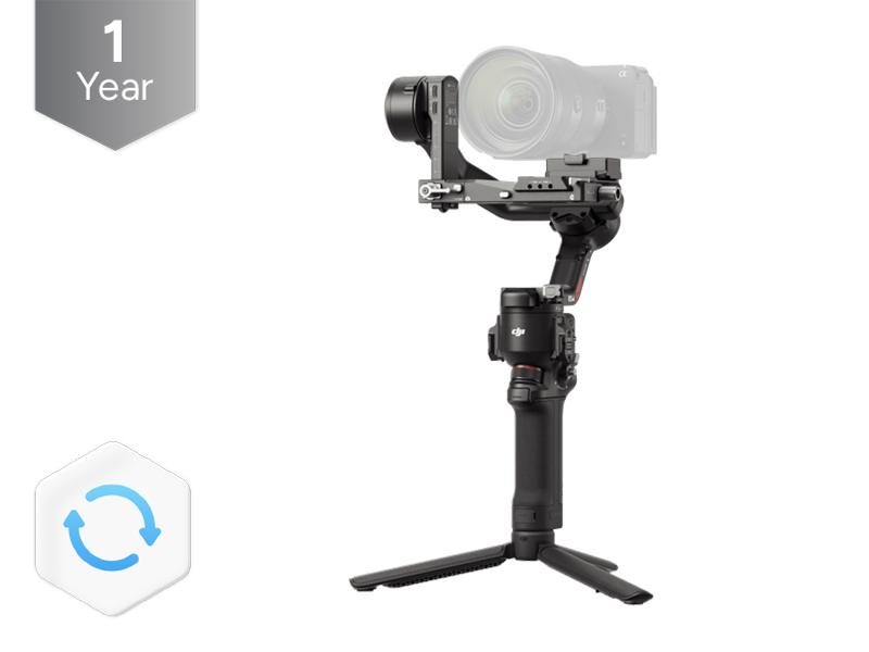 DJI Care Refresh 1-Year Plan (DJI RS 4)
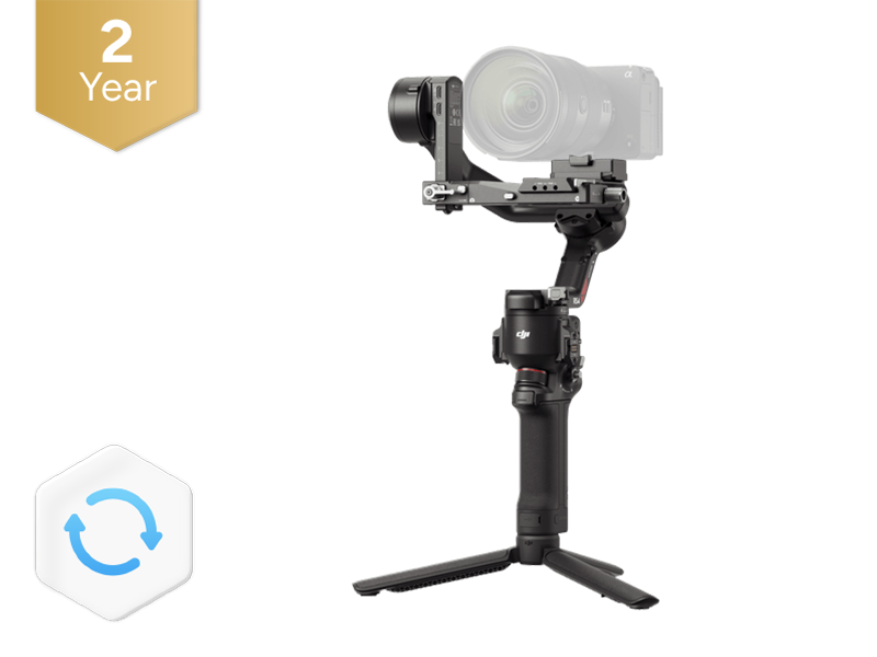 DJI Care Refresh 2-Year Plan (DJI RS 4)
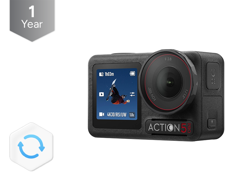 DJI Care Refresh 1-Year Plan (Osmo Action 5 Pro)
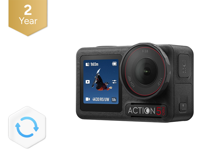 DJI Care Refresh 2-Year Plan (Osmo Action 5 Pro)
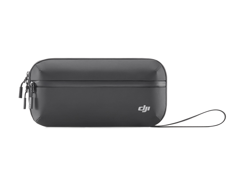 Osmo Action Carrying Bag
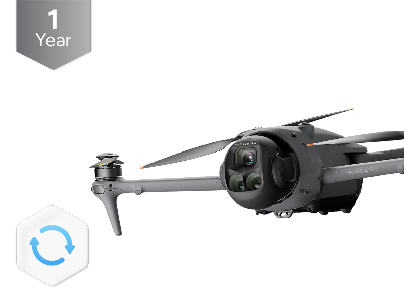 DJI Care Refresh 1-Year Plan (DJI Mavic 4 Pro)
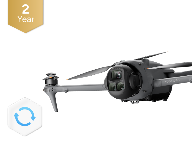 DJI Care Refresh 2-Year Plan (DJI Mavic 4 Pro)
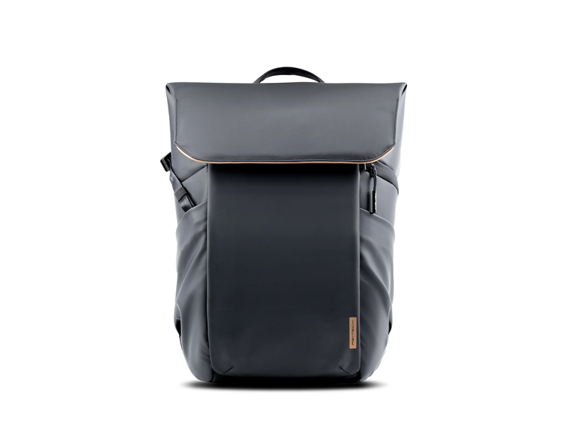 PGYTECH OneGo Air Backpack 25L | Obsidian Black
 D1 Labs Safety Case for DJI Mavic 4 Pro
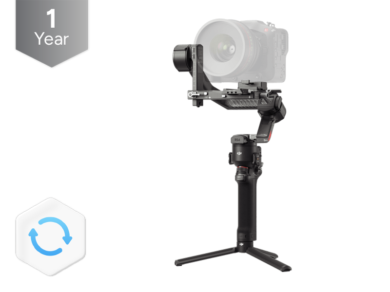 DJI Care Refresh 1-Year Plan (DJI RS 4 Pro)
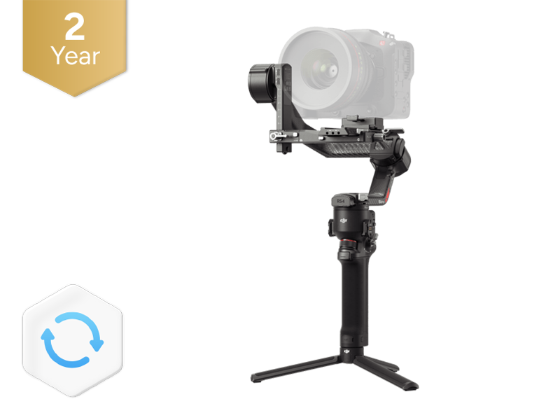 DJI Care Refresh 2-Year Plan (DJI RS 4 Pro)
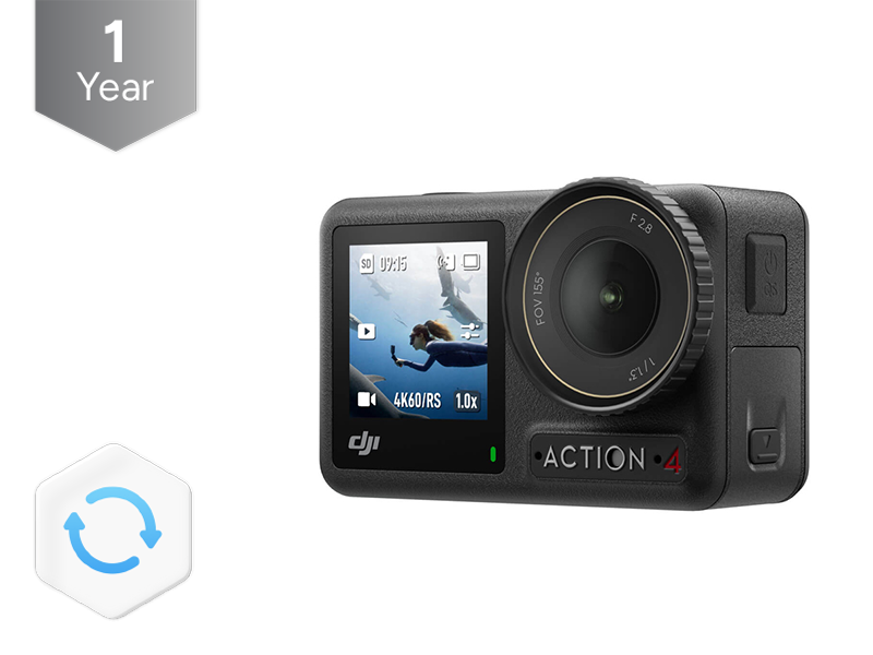 DJI Care Refresh 1-Year Plan (Osmo Action 4)
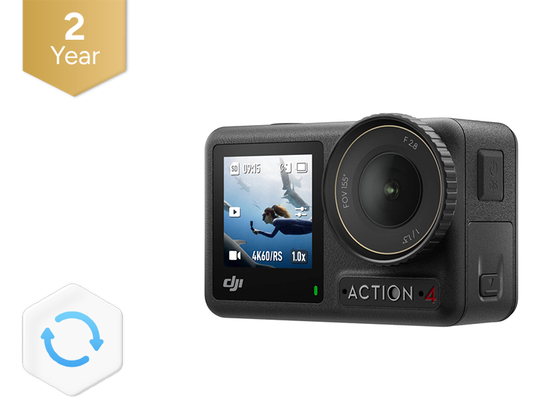 DJI Care Refresh 2-Year Plan (Osmo Action 4)
 DJI Mic 3 Receiver
 DJI Mic 3 Transmitter
 DJI Mic 3 Charging Case
 DJI Mic Series Mobile Receiver
 DJI Mic Series Carrying Pouch
 DJI Mic Mini Windscreen (Black & Grey w. Black Clip)
 DJI Care Refresh 1-Year Plan (Osmo Nano)
 DJI Care Refresh 2-Year Plan (Osmo Nano)
 D1 Labs Screen & Lens Protector for Osmo Nano
 Osmo 70cm Invisible Selfie Stick
 DJI Care Refresh 1-Year Plan (Osmo 360)
 DJI Care Refresh 2-Year Plan (Osmo 360)
 Osmo 360 Carrying Bag
 D1 Labs Screen Protector for Osmo 360
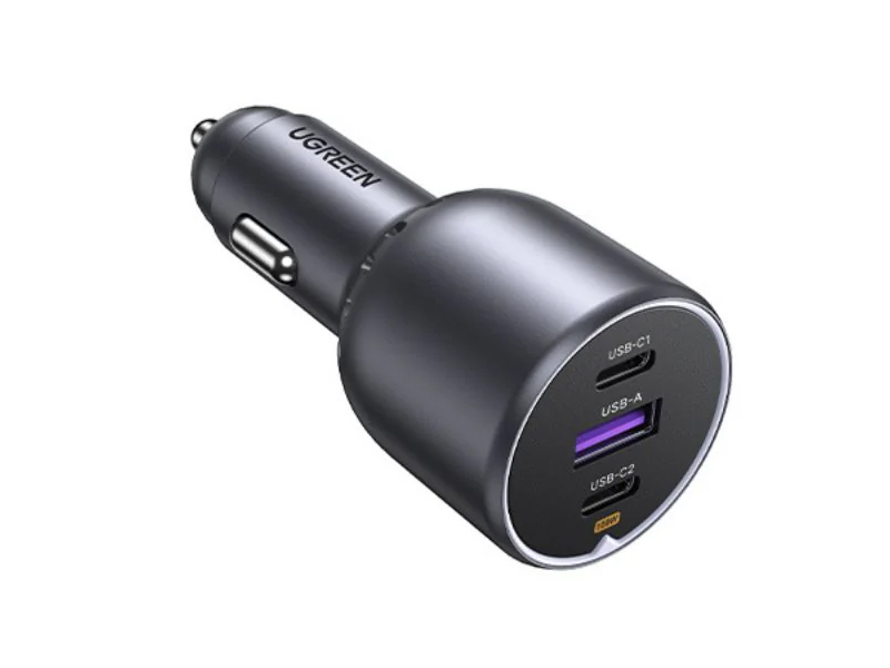 UGREEN 130W USB-C Car Charger
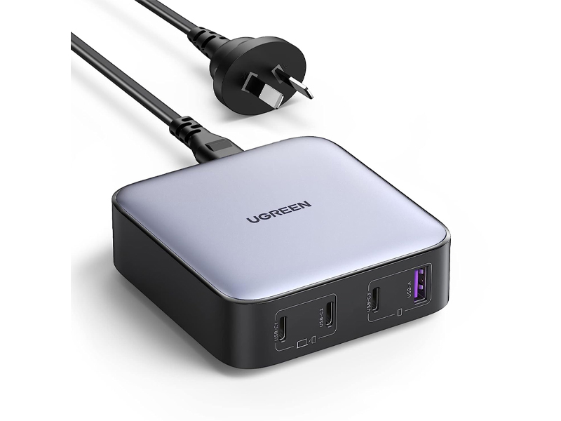 UGREEN 100W USB-C Charging Station
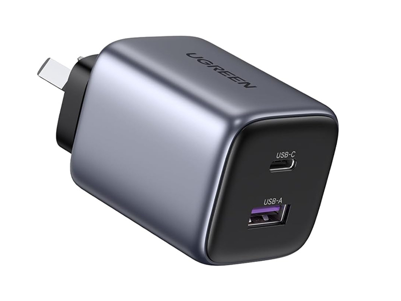 UGREEN 35W Nexode GaN II Charger
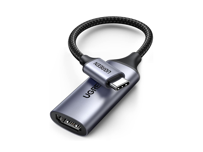 UGREEN USB-C to HDMI Adapter
 D1 Labs Landing Pad Pro (65CM)
 D1 Labs Landing Pad Pro (100CM)
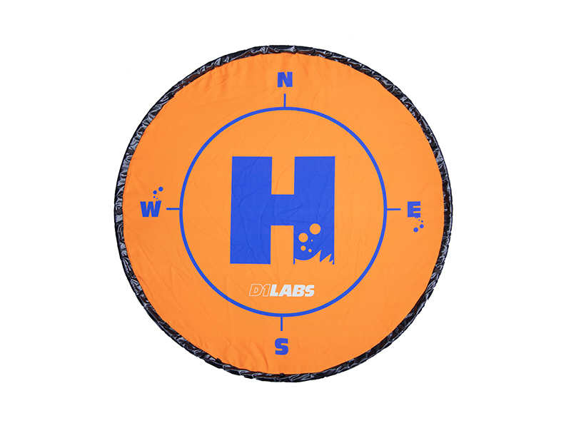 D1 Labs Weighted Drone Landing Pad (92 cm)
 D1 Labs Dual Hook Controller Lanyard
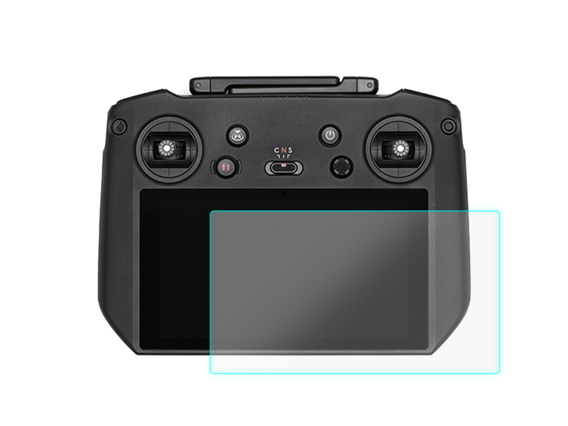 D1 Labs Screen Protector for DJI RC Pro
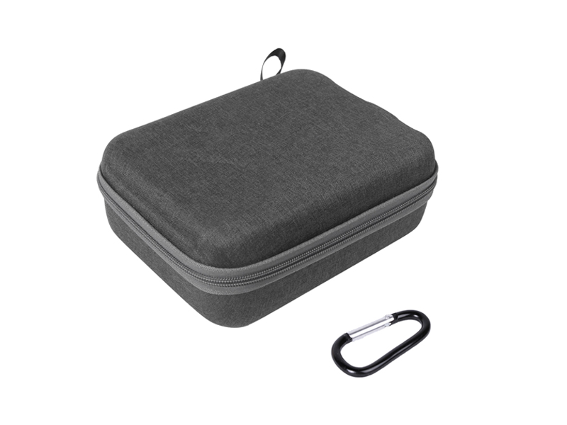 SunnyLife Carrying Case for DJI RC Pro
 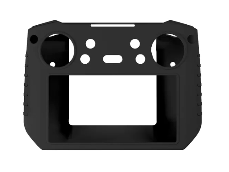 SunnyLife Protective Cover for DJI RC Pro
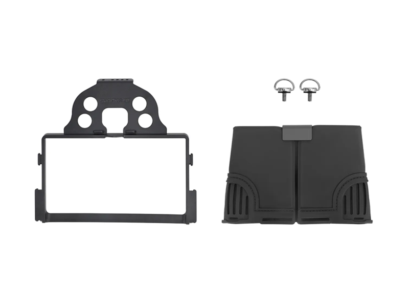 SunnyLife Sun Hood for DJI RC Pro
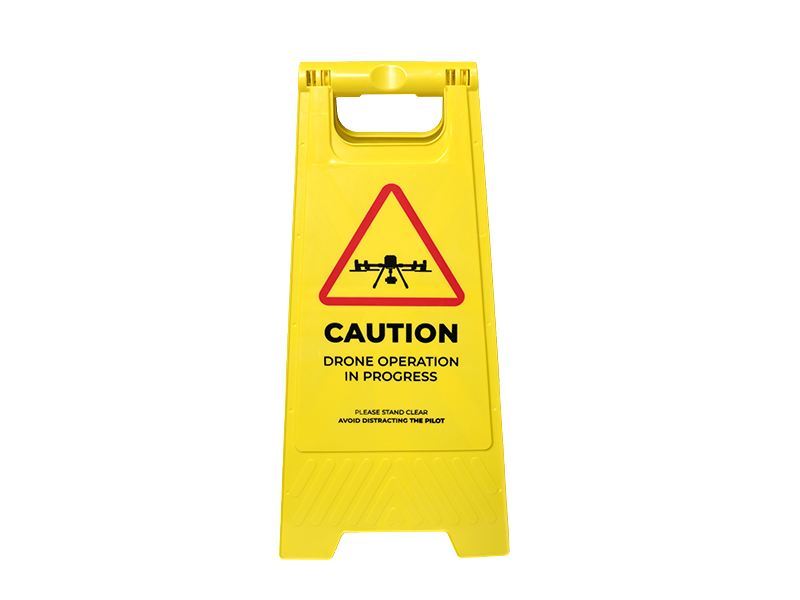 D1 Labs Drone Safety Sign
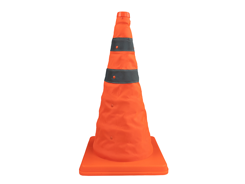 D1 Labs Retractable Safety Cone (450 mm)
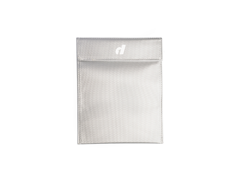 LiPO Battery Safe Bag (Large)
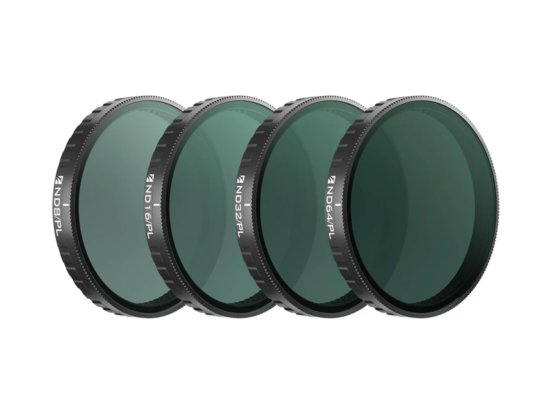 Freewell Bright Day Filters for Osmo Action 6 (4 Pack)
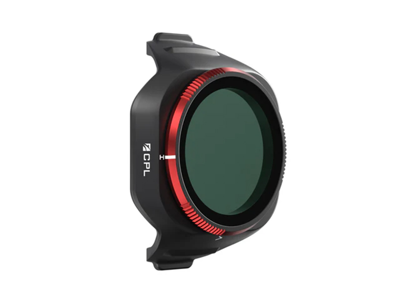 Freewell CPL Filter for DJI Mini 5 Pro
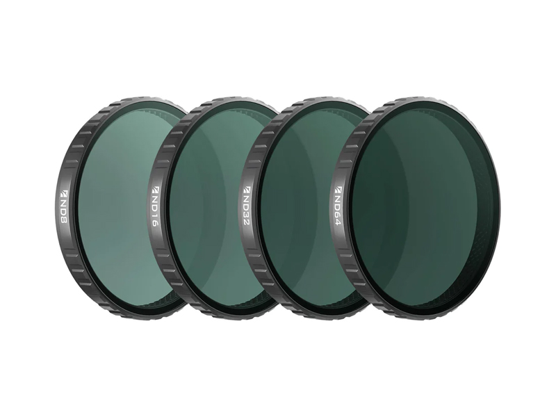 Freewell Standard Day Filters for Osmo Action 6 (4 Pack)
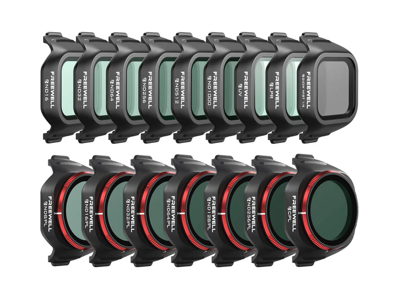 Freewell Mega Filter Pack for DJI Mini 5 Pro (16 Pack)
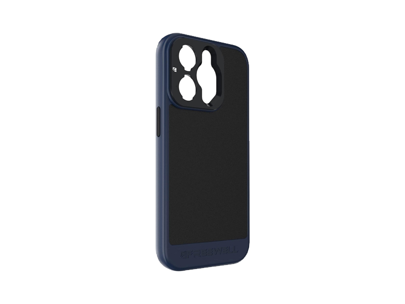 Freewell Sherpa Series Case for iPhone 14 Pro Max
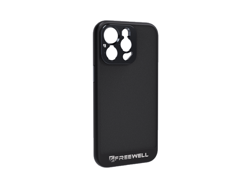 Freewell Sherpa Series Case for iPhone 15 Pro
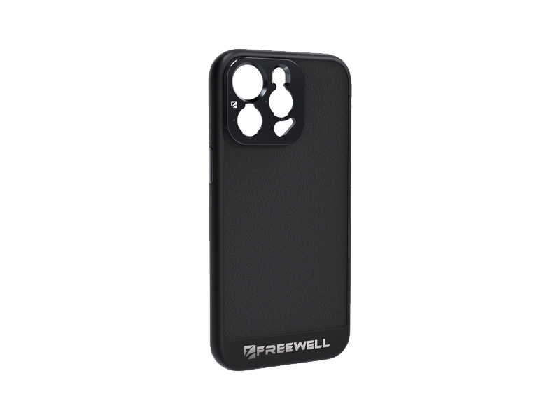 Freewell Sherpa Series Case for iPhone 15 Pro Max
 Freewell Sherpa Series Glow Mist 1/4 Filter
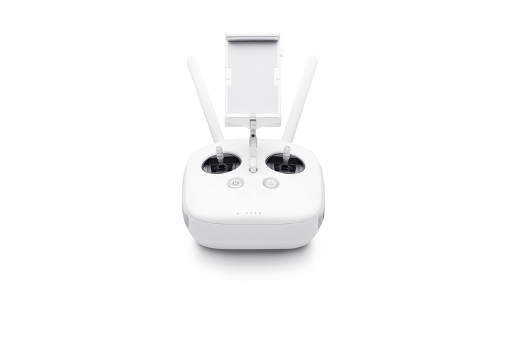 Phantom 4 Pro V2.0 Remote Controller
 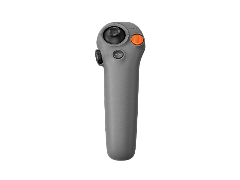 DJI RC Motion 3
 Cynova Protective Cover for DJI RC Pro 2
 D1 Labs Screen Protector for DJI RC Pro 2
 D1 Labs Lanyard Bracket for DJI RC Pro 2
 DJI Care Refresh 1-Year Plan (DJI RS 3 Mini)
 DJI Care Enterprise Basic (DJI Mavic 3 Multispectral)
 DJI Care Enterprise Basic (DJI Mavic 3 Thermal)
 DJI Care Enterprise Basic (Matrice 30T)
 DJI Care Enterprise Basic (Zenmuse L2)
 DJI Care Enterprise Basic 2-Year Plan (Zenmuse H30)
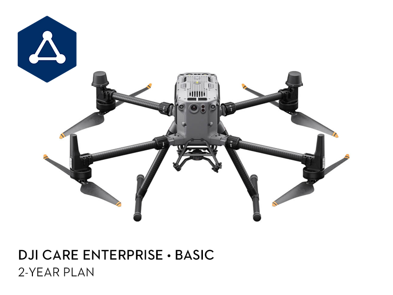 DJI Care Enterprise Basic 2-Year Plan (Matrice 350 RTK)
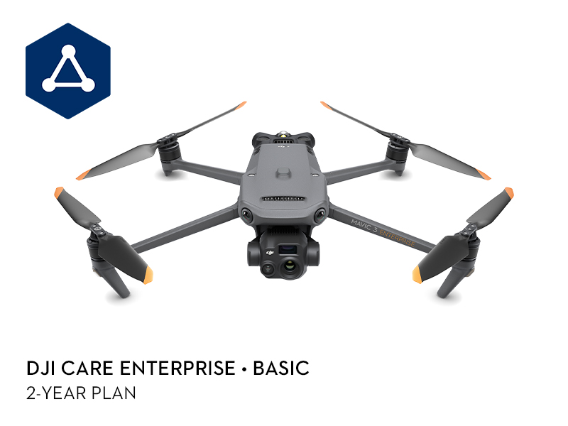 DJI Care Enterprise Basic 2-Year Plan (DJI Mavic 3 Thermal Advanced)
 DJI Care Enterprise Basic 2-Year Plan (D-RTK 3 Multifunctional Station)
 DJI Care Enterprise Plus (D-RTK 3 Multifunctional Station)
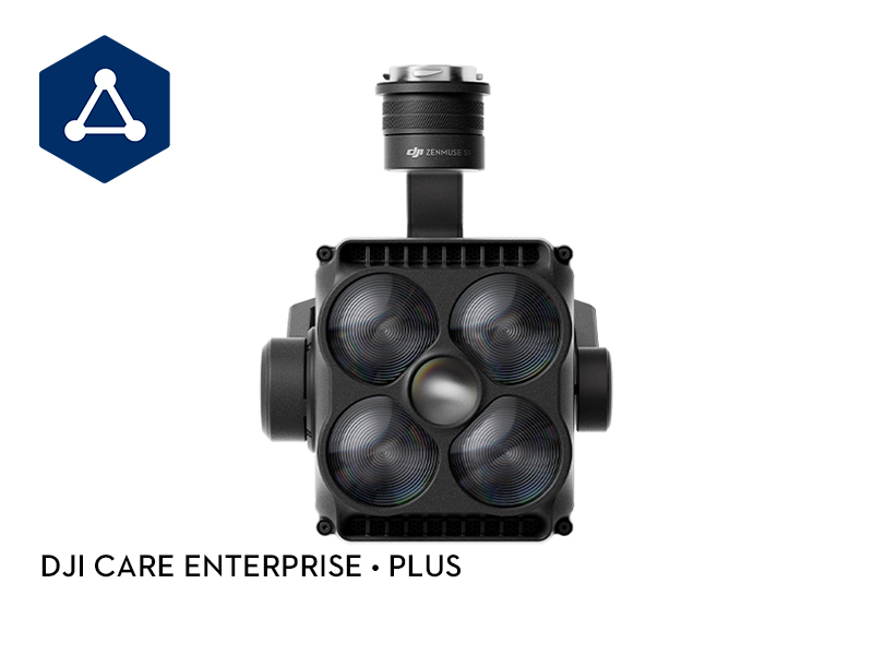 DJI Care Enterprise Plus (Zenmuse S1)
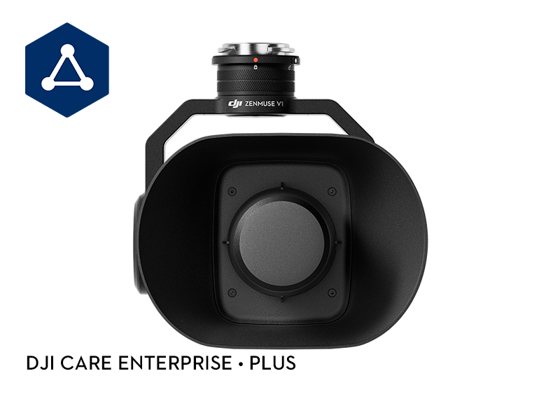 DJI Care Enterprise Plus (Zenmuse V1)
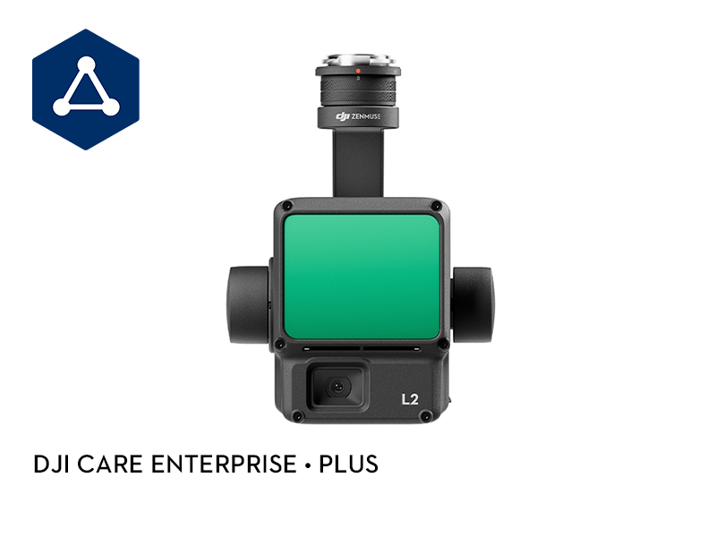 DJI Care Enterprise Plus (Zenmuse L2)
 Ex-Demo DJI Mini 3 (DJI RC-N1)
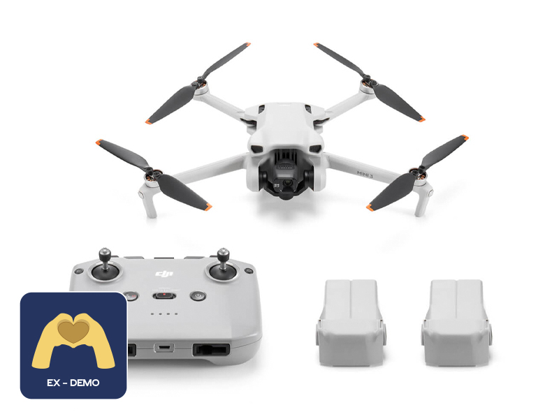 Ex-Demo DJI Mini 3 Fly More Combo Plus
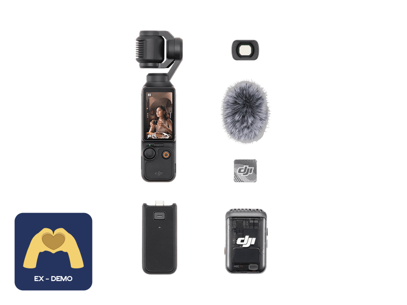 Ex-Demo Osmo Pocket 3 Creator Combo
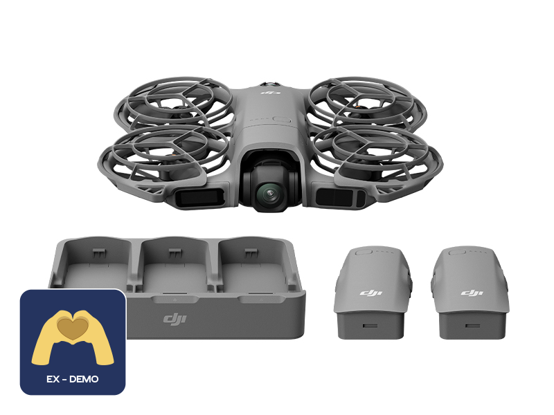 Ex-Demo DJI Neo 2 Fly More Combo (Drone Only)
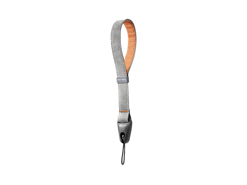 PGYTECH Camera Wrist Strap
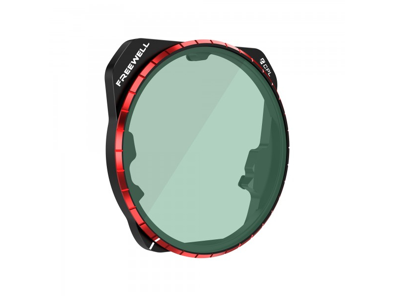 Freewell CPL Filter for DJI Mavic 3 Pro
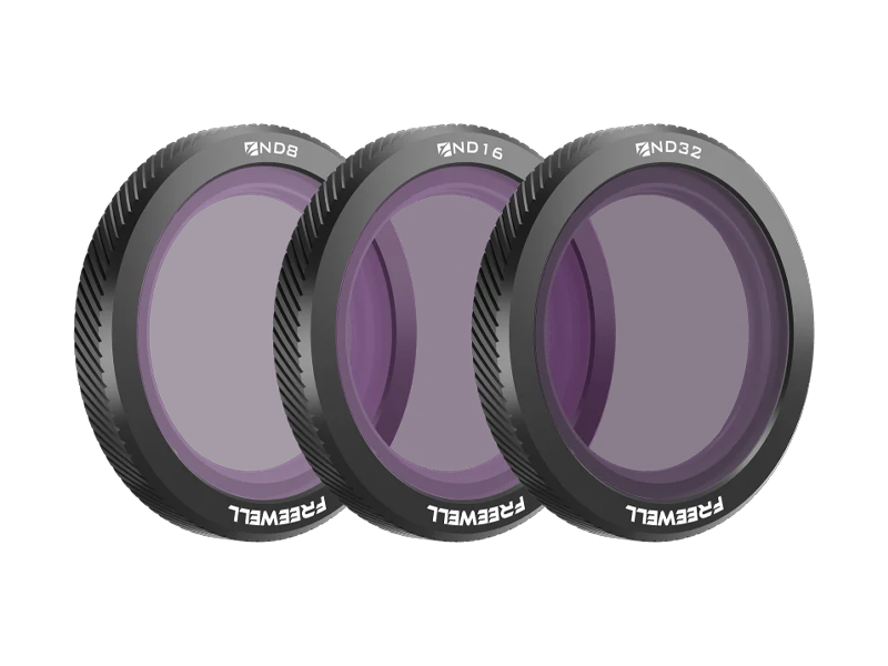 Freewell Standard Day Filters for DJI Neo (3 Pack)
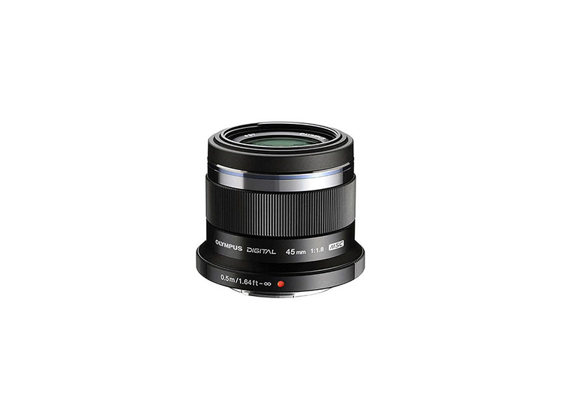 Olympus M.Zuiko 45mm f/1.8 Lens
 Ex-Demo Osmo Mobile 8 Advanced Tracking Combo
 Ex-Demo Osmo Nano Standard Combo (64GB)
 Ex-Demo Osmo Nano Standard Combo (128GB)
 Ex-Demo DJI RS 4 Combo
 Ex-Demo Osmo Action Extreme Battery Plus (1950 mAh)
 Ex-Demo DJI Mini 5 Pro Intelligent Flight Battery
 Ex-Demo DJI Neo 2 Intelligent Flight Battery
 Ex-Demo DJI RS Enhanced Intelligent Tracking Module
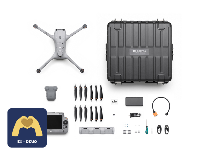 Ex-Demo DJI Matrice 4TD Combo
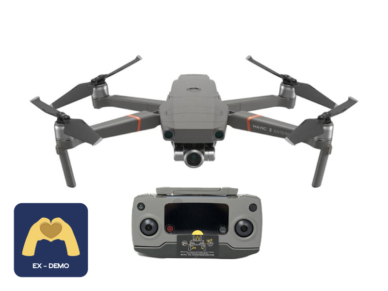 Ex-Demo Mavic 2 Enterprise Zoom
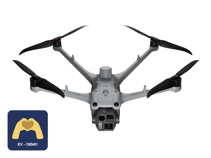 Ex-Demo DJI Matrice 4D
 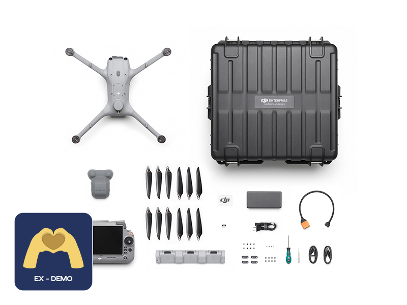 Ex-Demo DJI Matrice 4D Combo
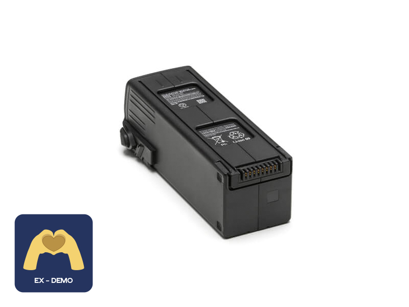 Ex-Demo DJI Mavic 3 Series Intelligent Flight Battery
 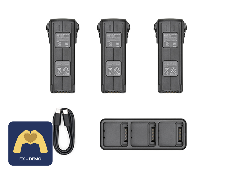 Ex-Demo DJI Mavic 3 Enterprise Series Battery Kit
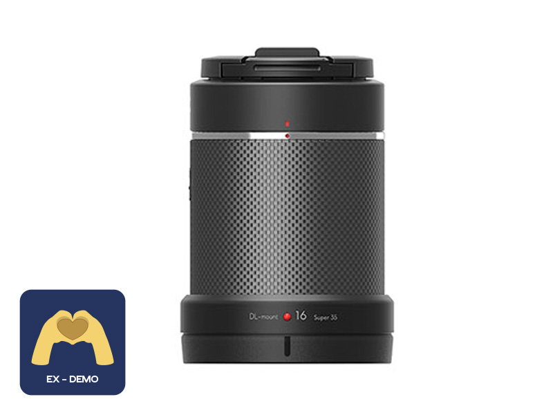 Ex-Demo DJI DL-S 16mm F2.8 ND ASPH Lens
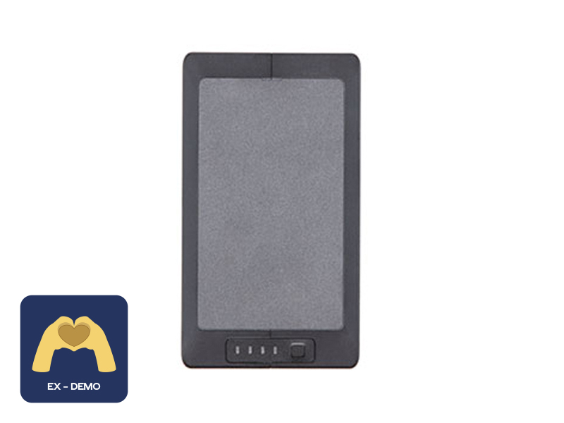 Ex-Demo TB60 Intelligent Flight Battery
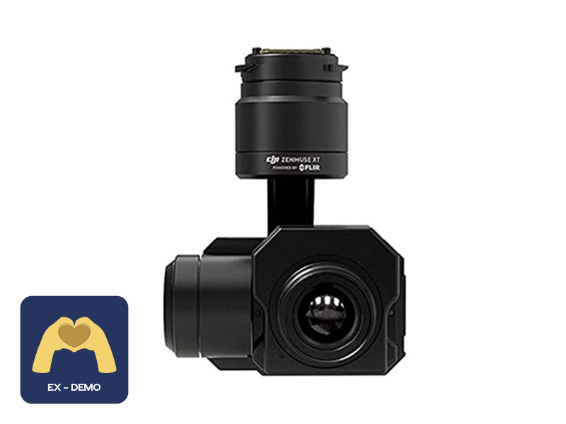 Ex-Demo FLIR Zenmuse XT 640 13mm 30Hz
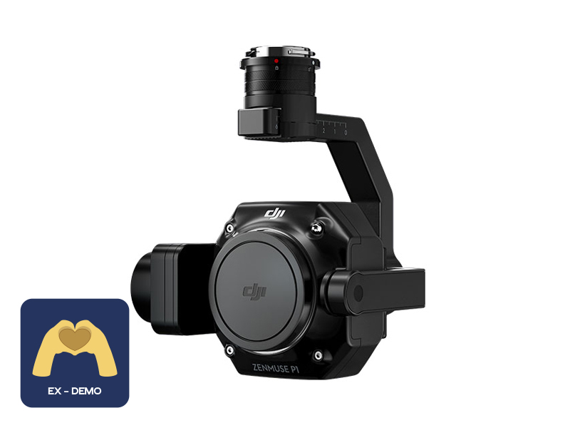 Ex-Demo Zenmuse P1
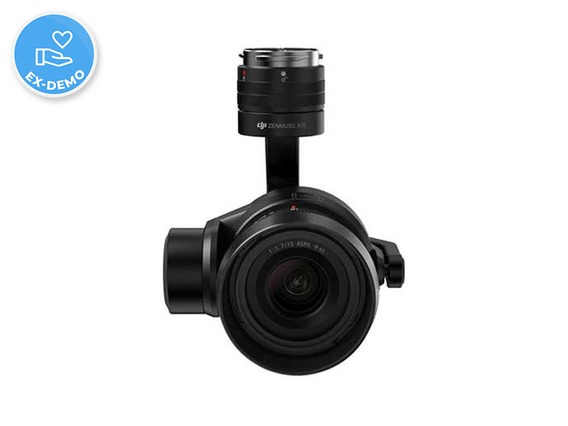 Ex-Demo Zenmuse X5S
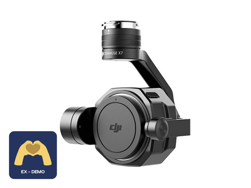 Ex-Demo Zenmuse X7